MyTopo
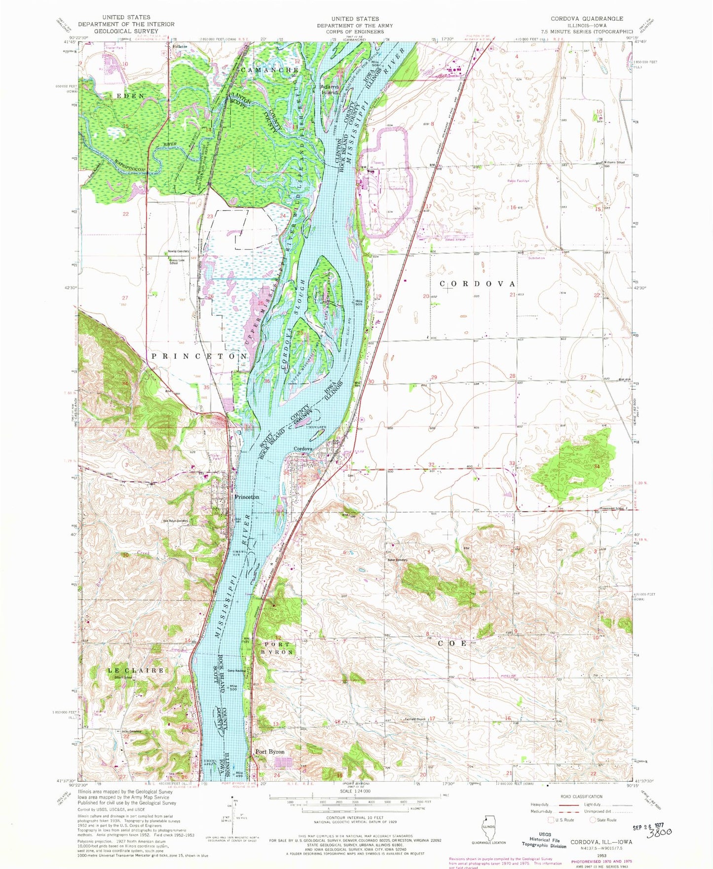
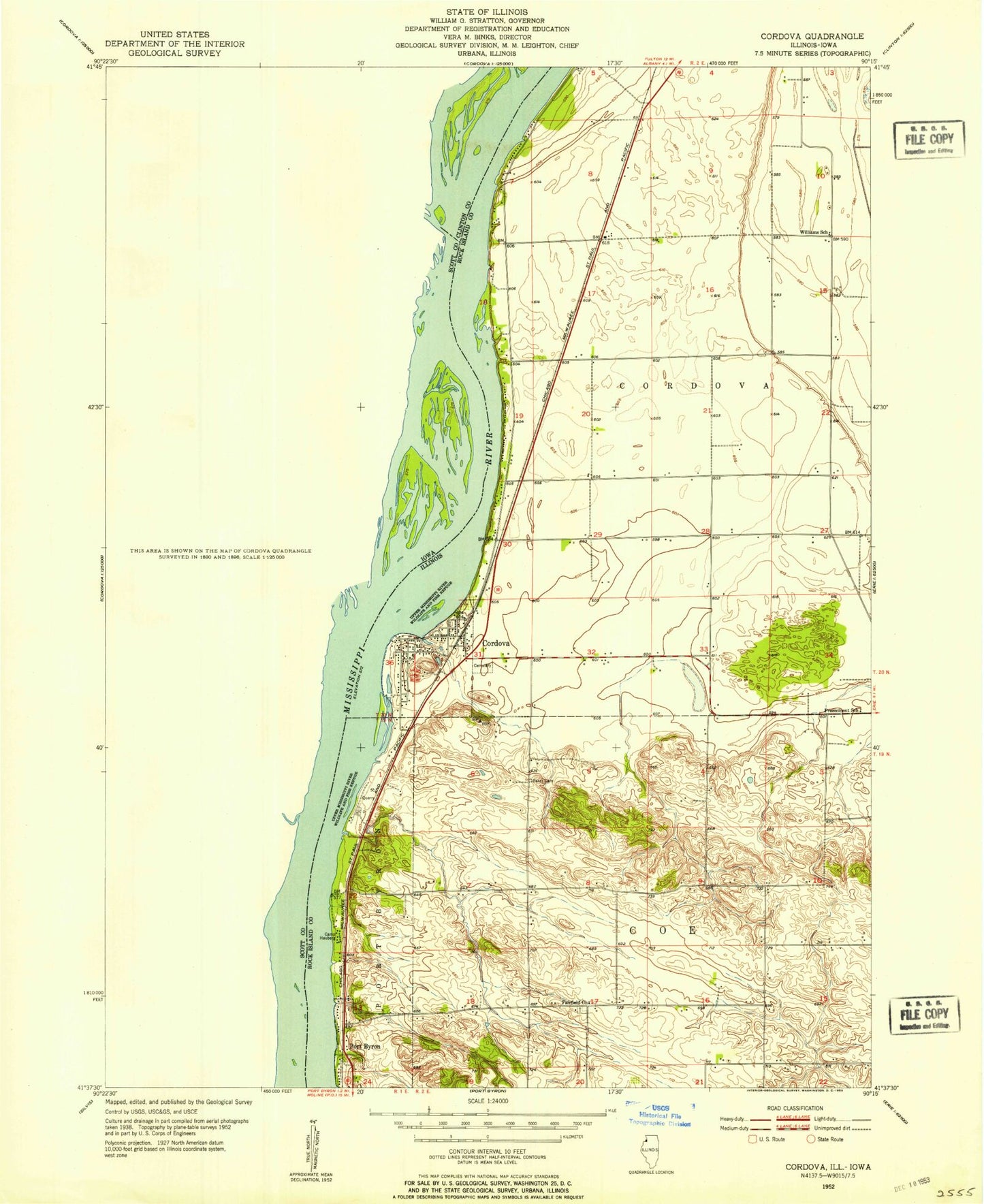
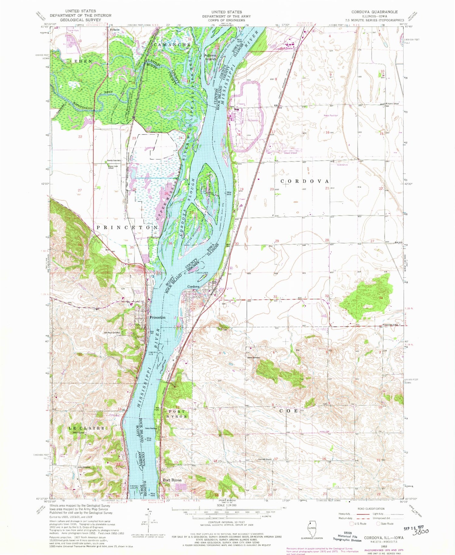
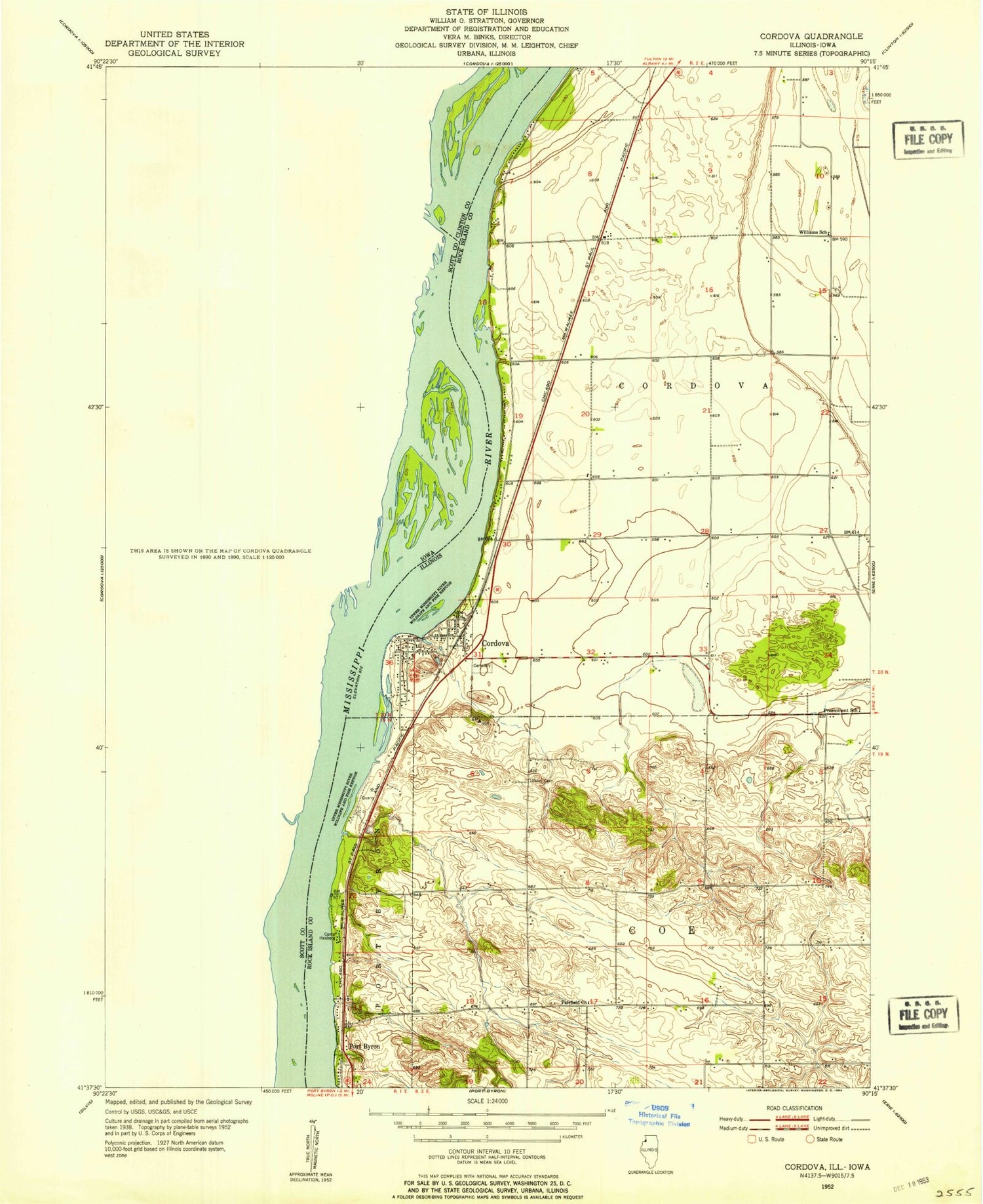
Classic USGS Cordova Illinois 7.5'x7.5' Topo Map
Couldn't load pickup availability
Historical USGS topographic quad map of Cordova in the states of Illinois, Iowa. Map scale may vary for some years, but is generally around 1:24,000. Print size is approximately 24" x 27"
This quadrangle is in the following counties: Clinton, Rock Island, Scott.
The map contains contour lines, roads, rivers, towns, and lakes. Printed on high-quality waterproof paper with UV fade-resistant inks, and shipped rolled.
Contains the following named places: Adams Island, Baker Cemetery, Ben Martinsen Area, Bud Creek, Camp Hauberg, City of Princeton, Cordova, Cordova Dragway, Cordova Fire Protection District, Cordova Police Department, Cordova Post Office, Cordova Slough, Fairfield Cemetery, Fairfield Church, Folletts, Grant Slough, Grassy Lane School, Hagenson Pond, Hagenson Pond Area, Jacks Cemetery, Lost Creek, Lund Creek, Nowlan Cemetery, Oak Ridge Cemetery, Olathea Golf Course, Old School Park, Our Lady of the River Church, Preeminent School, Princeton, Princeton City Cemetery, Princeton City Hall, Princeton Fire Department, Princeton Library, Princeton Police Department, Princeton Post Office, Princeton Presbyterian Church, Princeton State Wildlife Management Area, Princeton Wildlife Management Area, Rivercrest Estates, Scharff School, Schricker Slough, Shaff Lake, Shaffton Quarry, Sodus Creek, The Sandbox Airport, Township of Coe, Township of Cordova, Township of Port Byron, Village of Cordova, Virgil Grissom Elementary School, Wapsipinicon River, Water Tower Park, Whiskey Run Creek, Williams School, Zion Lutheran Church, ZIP Code: 61242


