MyTopo
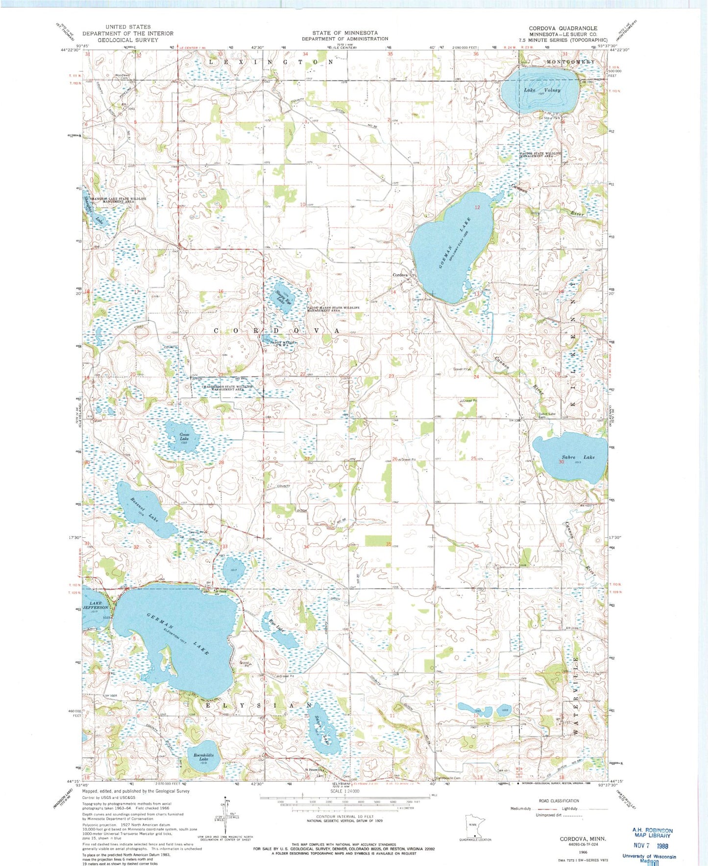
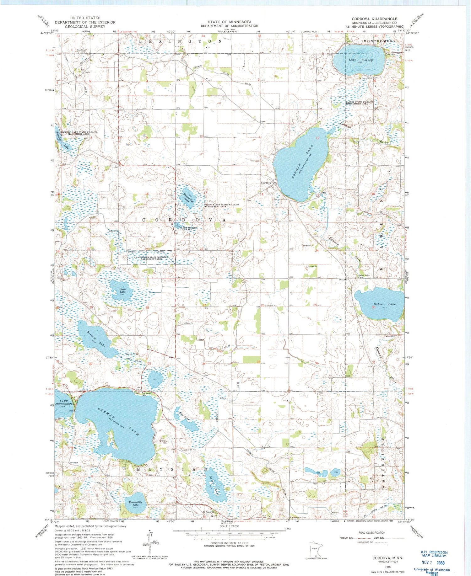
Classic USGS Cordova Minnesota 7.5'x7.5' Topo Map
Couldn't load pickup availability
Historical USGS topographic quad map of Cordova in the state of Minnesota. Map scale may vary for some years, but is generally around 1:24,000. Print size is approximately 24" x 27"
This quadrangle is in the following counties: Le Sueur.
The map contains contour lines, roads, rivers, towns, and lakes. Printed on high-quality waterproof paper with UV fade-resistant inks, and shipped rolled.
Contains the following named places: Bossuot Lake, Chadderdon State Wildlife Management Area, Cordova, Cordova Post Office, County Ditch Number Fifty, County Ditch Number Sixtyeight, County Ditch Number Sixtyfour, County Ditch Number Thirtysix, County Ditch Number Twenty, Factor State Wildlife Management Area, German Lake, German Lake Cemetery, Goose Lake, Gorman Cemetery, Gorman Lake, Gorman Lake Dam, Haugenstein Cemetery, Lake Volney, Le Sueur County, Le Sueur Park, Little Cannon River, Paddy Marsh State Wildlife Management Are, Phebe Jones Lakeside Cemetery, Rice Lake, Roemhildts Lake, Sabre Lake, Sabre Lake Cemetery, Saint Pauls Church, Saint Peter's Cemetery, Saint Peters Church, Sasse Lake, Shanghai Lake, Shanghai Lake State Wildlife Management A, Sleepy Eye Lake, Township of Cordova, Woodlawn Cemetery


