
MyTopo
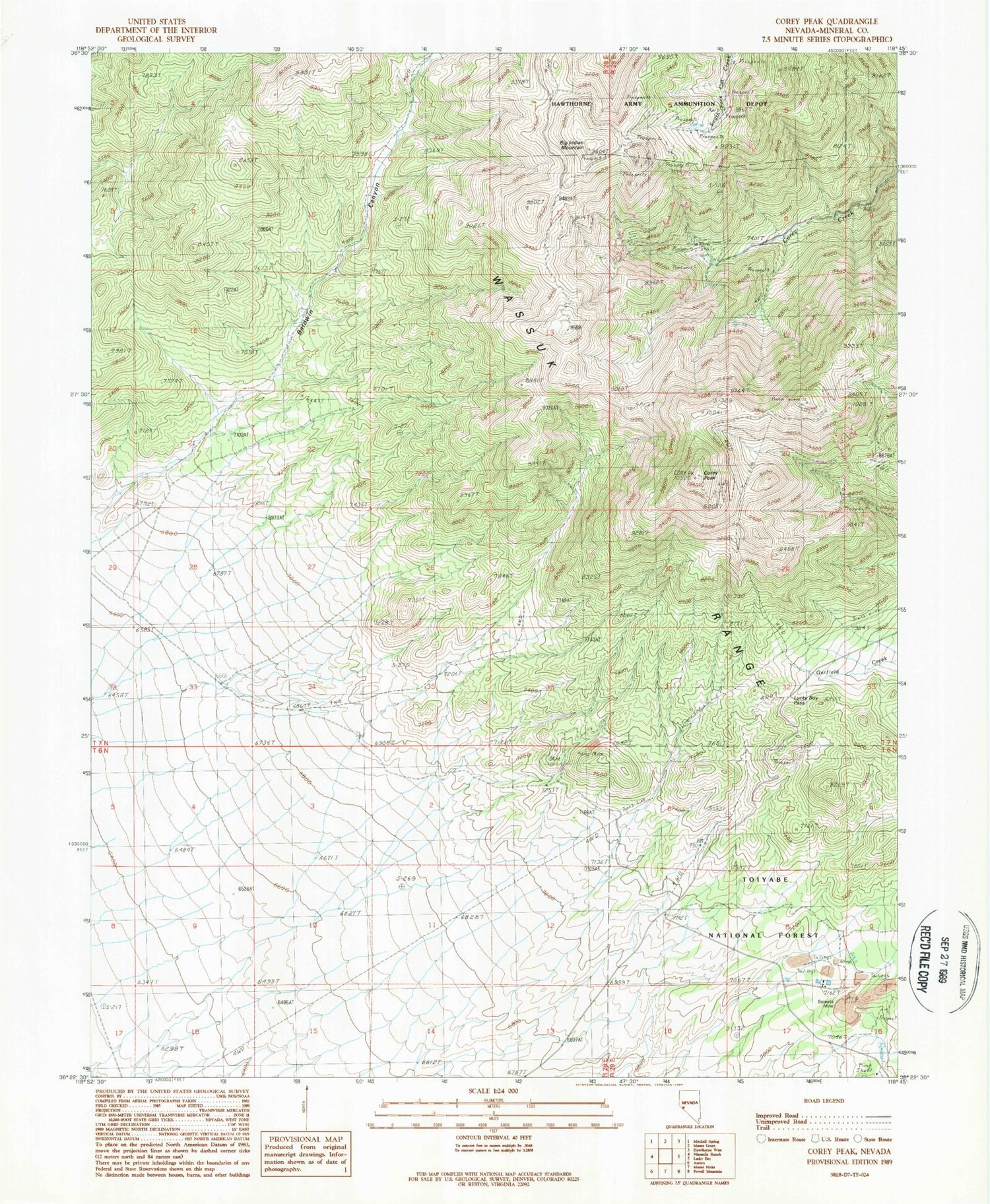
Classic USGS Corey Peak Nevada 7.5'x7.5' Topo Map
Regular price
$16.95
Regular price
Sale price
$16.95
Unit price
per
Couldn't load pickup availability
Historical USGS topographic quad map of Corey Peak in the state of Nevada. Map scale may vary for some years, but is generally around 1:24,000. Print size is approximately 24" x 27"
This quadrangle is in the following counties: Mineral.
The map contains contour lines, roads, rivers, towns, and lakes. Printed on high-quality waterproof paper with UV fade-resistant inks, and shipped rolled.
Contains the following named places: Baldwin Canyon, Big Indian Mine, Big Indian Mountain, Borealis Mine, Cory Mine, Cory Peak, Lucky Boy Pass, Squaw Creek, Summit Station Holding Corral


