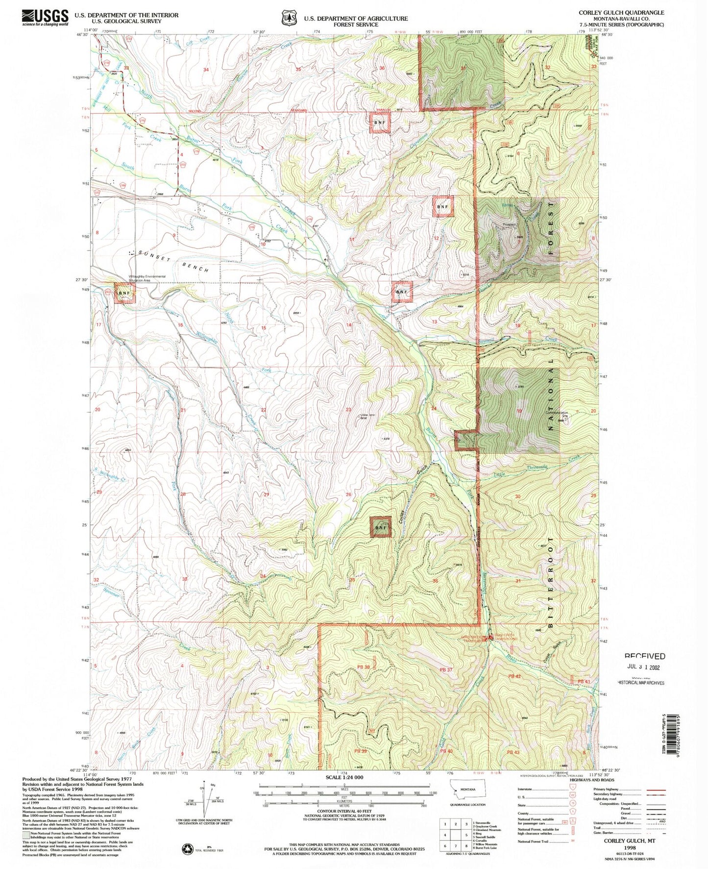
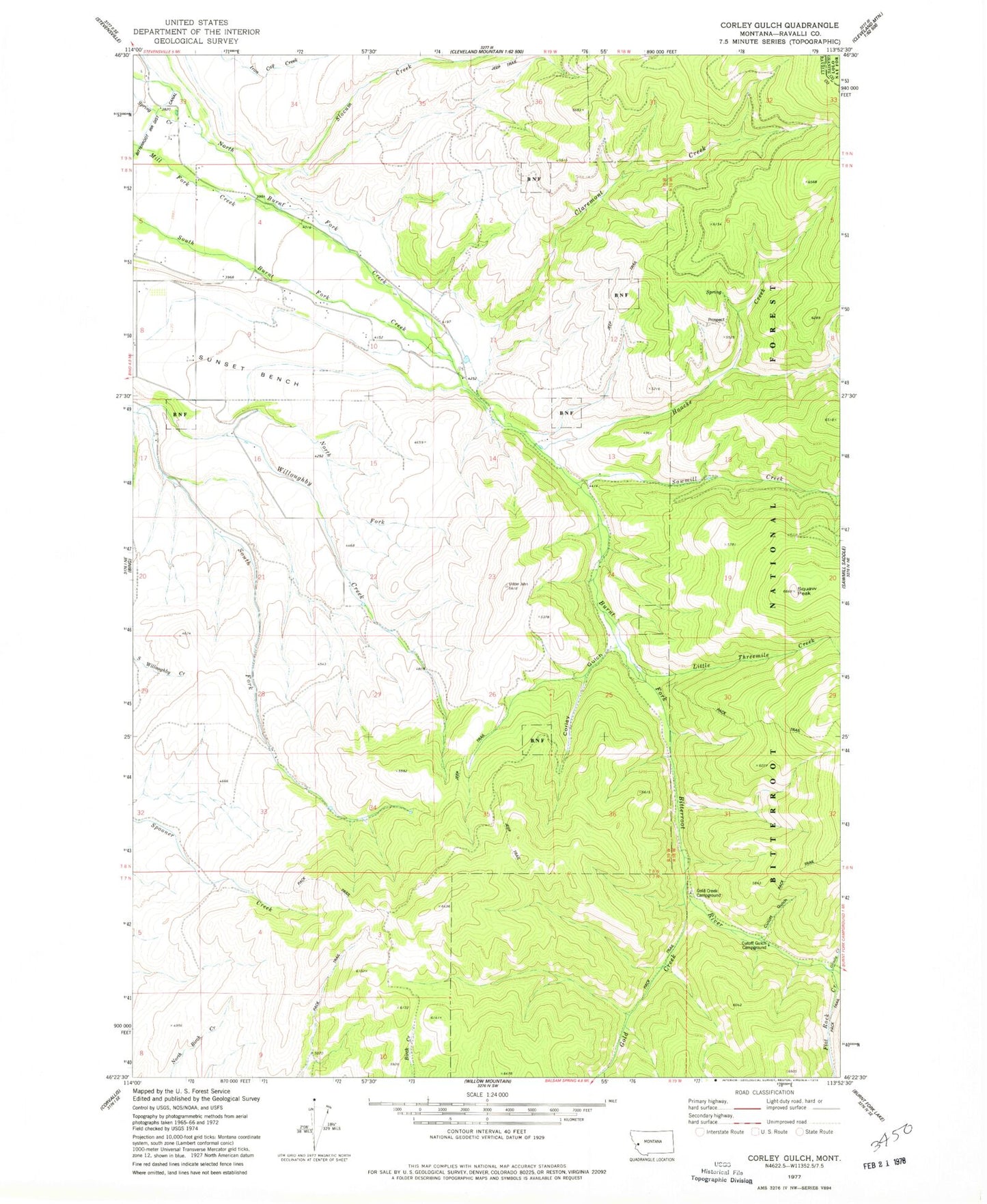
MyTopo
Classic USGS Corley Gulch Montana 7.5'x7.5' Topo Map
Couldn't load pickup availability
Historical USGS topographic quad map of Corley Gulch in the state of Montana. Map scale may vary for some years, but is generally around 1:24,000. Print size is approximately 24" x 27"
This quadrangle is in the following counties: Granite, Ravalli.
The map contains contour lines, roads, rivers, towns, and lakes. Printed on high-quality waterproof paper with UV fade-resistant inks, and shipped rolled.
Contains the following named places: 08N19W11CDBB01 Well, Burnt Fork, Burnt Fork Bitterroot River, Burnt Fork School, Claremont Creek, Corley Gulch, Cutoff Gulch, Cutoff Gulch Campground, Flat Rock Creek, Gold Creek, Gold Creek Campground, Gold Creek Trailhead, Grizzly Creek, Haacke Creek, Little Threemile Creek, North Fork Willoughby Creek, NW SW Section 9 Mine, Rosemont Post Office, Rosemont School, Sawmill Creek, SE NW Section 7 Mine, Slocum Creek, Smythe Creek, Stevensville Rural Fire Station, Whe-lha-kleh-tseen Mountain