MyTopo
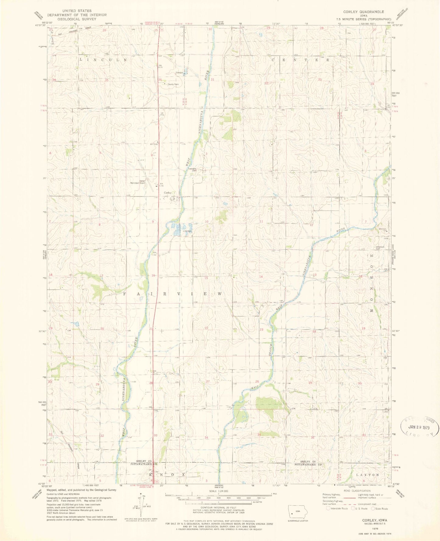
Classic USGS Corley Iowa 7.5'x7.5' Topo Map
Couldn't load pickup availability
Historical USGS topographic quad map of Corley in the state of Iowa. Map scale may vary for some years, but is generally around 1:24,000. Print size is approximately 24" x 27"
This quadrangle is in the following counties: Pottawattamie, Shelby.
The map contains contour lines, roads, rivers, towns, and lakes. Printed on high-quality waterproof paper with UV fade-resistant inks, and shipped rolled.
Contains the following named places: Altamont Church, Altamont Post Office, Corley, Corley Census Designated Place, Corley Post Office, Cuppys Grove Cemetery, Dutch Branch, Fairview Township Cemetery, Harlan Municipal Airport, Jacobson Cemetery, KNOD-FM (Harlan), Lee Cemetery, Nishna Bend Recreation Area, Nishnabotna River Bridge, Shelby County Farm, Township of Fairview