MyTopo
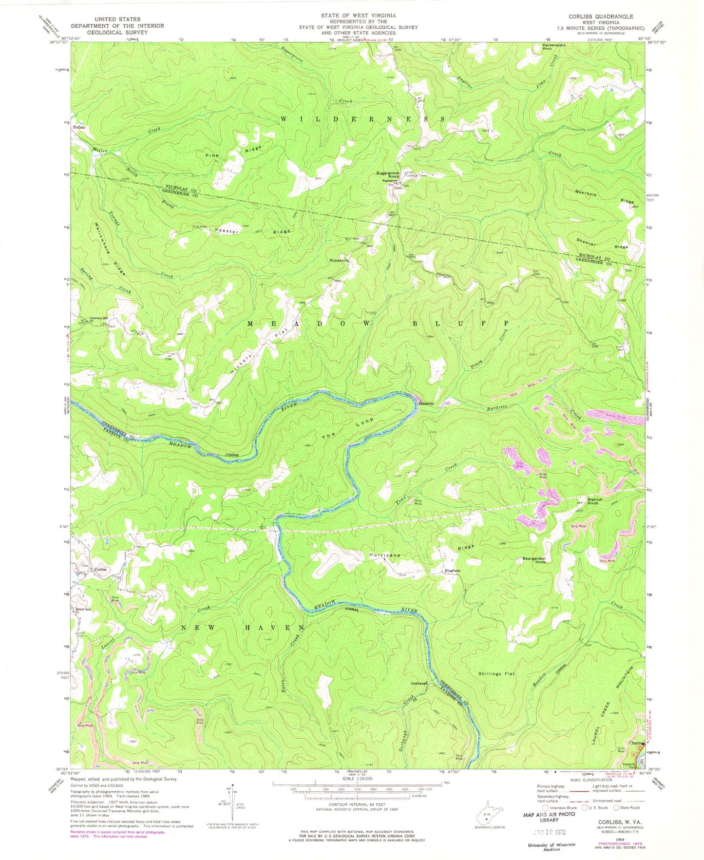
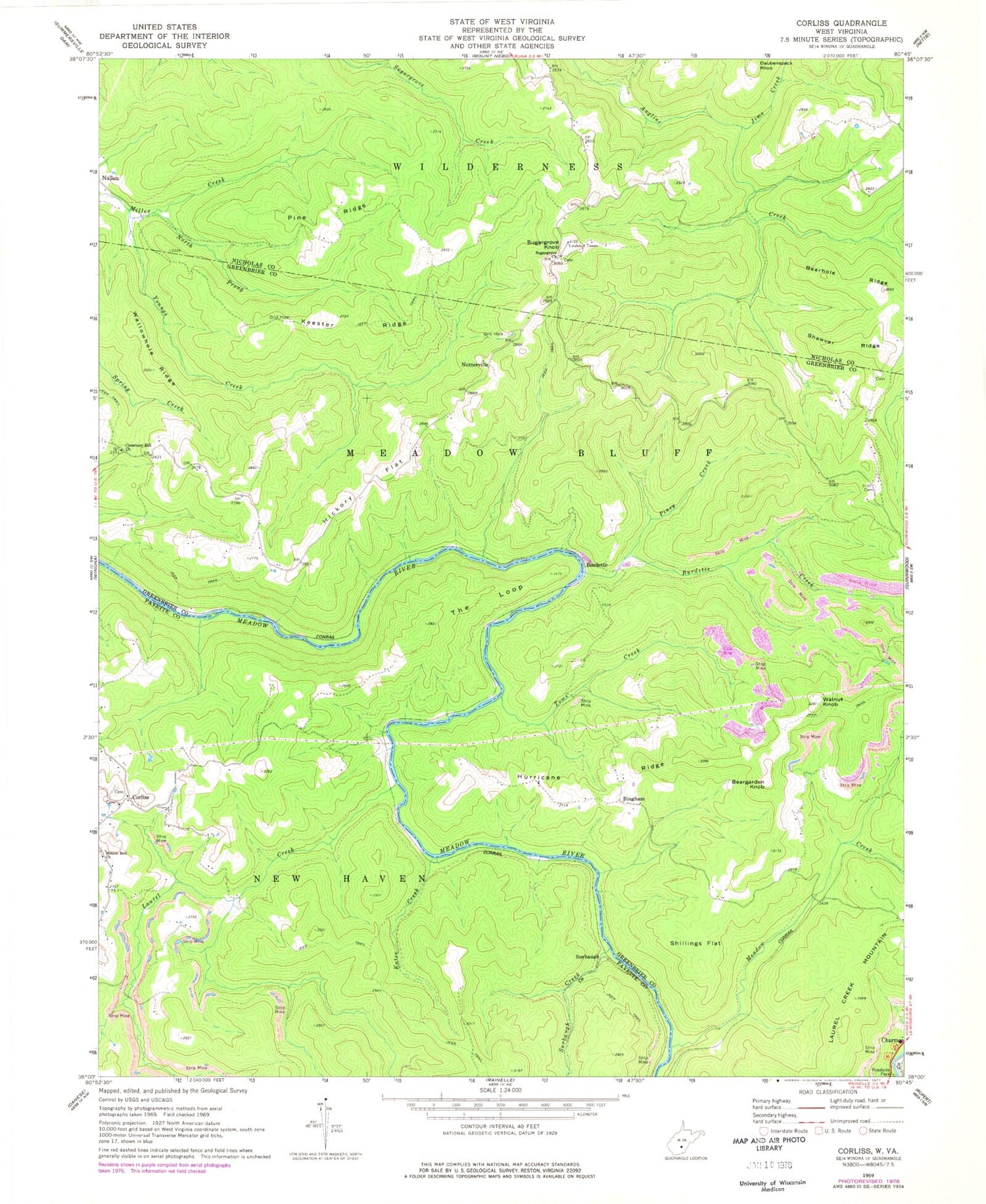
Classic USGS Corliss West Virginia 7.5'x7.5' Topo Map
Couldn't load pickup availability
Historical USGS topographic quad map of Corliss in the state of West Virginia. Map scale may vary for some years, but is generally around 1:24,000. Print size is approximately 24" x 27"
This quadrangle is in the following counties: Fayette, Greenbrier, Nicholas.
The map contains contour lines, roads, rivers, towns, and lakes. Printed on high-quality waterproof paper with UV fade-resistant inks, and shipped rolled.
Contains the following named places: Beargarden Knob, Bearhole Ridge, Bingham, Burdette, Burdette Creek, Cemetery Hill Church, Corlis School, Corliss, Forest View School, Germany School, Hickory Flat, Honeydew, Hurricane Ridge, Hurricane Ridge School, Jims Creek, Kates Creek, Keester Ridge, Laurel Creek, Loop School, Meadow Creek, Miller Creek, Minnie Belle Baptist Church, New Prospect School, North Prong Miller Creek, Nutter School, Nutterville, Nutterville School, Pine Ridge, Piney Creek, Rader Ford, Rider Cemetery, Shawver Ridge, Shillings Flat, Sugar Grove Lookout Tower, Sugar Grove United Methodist Church, Sugar Grove United Methodist Church Cemetery, Sugargrove Knob, Sugargrove School, Surbaugh, Surbaugh Creek, The Loop, Toms Creek, Wallowhole Ridge, Walnut Knob, ZIP Codes: 25958, 26680


