MyTopo
Classic USGS Corn Creek Plateau Arizona 7.5'x7.5' Topo Map
Regular price
$16.95
Regular price
Sale price
$16.95
Unit price
per
Couldn't load pickup availability
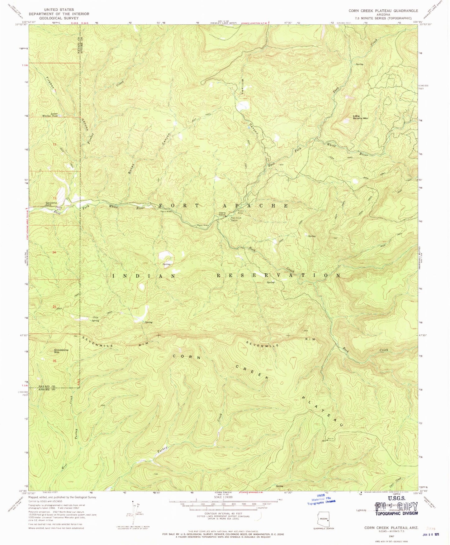
Historical USGS topographic quad map of Corn Creek Plateau in the state of Arizona. Map scale may vary for some years, but is generally around 1:24,000. Print size is approximately 24" x 27"
This quadrangle is in the following counties: Apache, Navajo.
The map contains contour lines, roads, rivers, towns, and lakes. Printed on high-quality waterproof paper with UV fade-resistant inks, and shipped rolled.
Contains the following named places: Bones Canyon, Buckhorn Tank, Corn Creek Plateau, Deep Creek, Firebox Canyon, Firebox Creek, Grindstone Mountain, Hay Meadow, Little Brushy Mountain, Lower Firebox Tank, Nyce Cabin, Rock Creek, Rock Creek Picnic Area, Rock Creek Station, Whitespot Tank, Williams Canyon