MyTopo
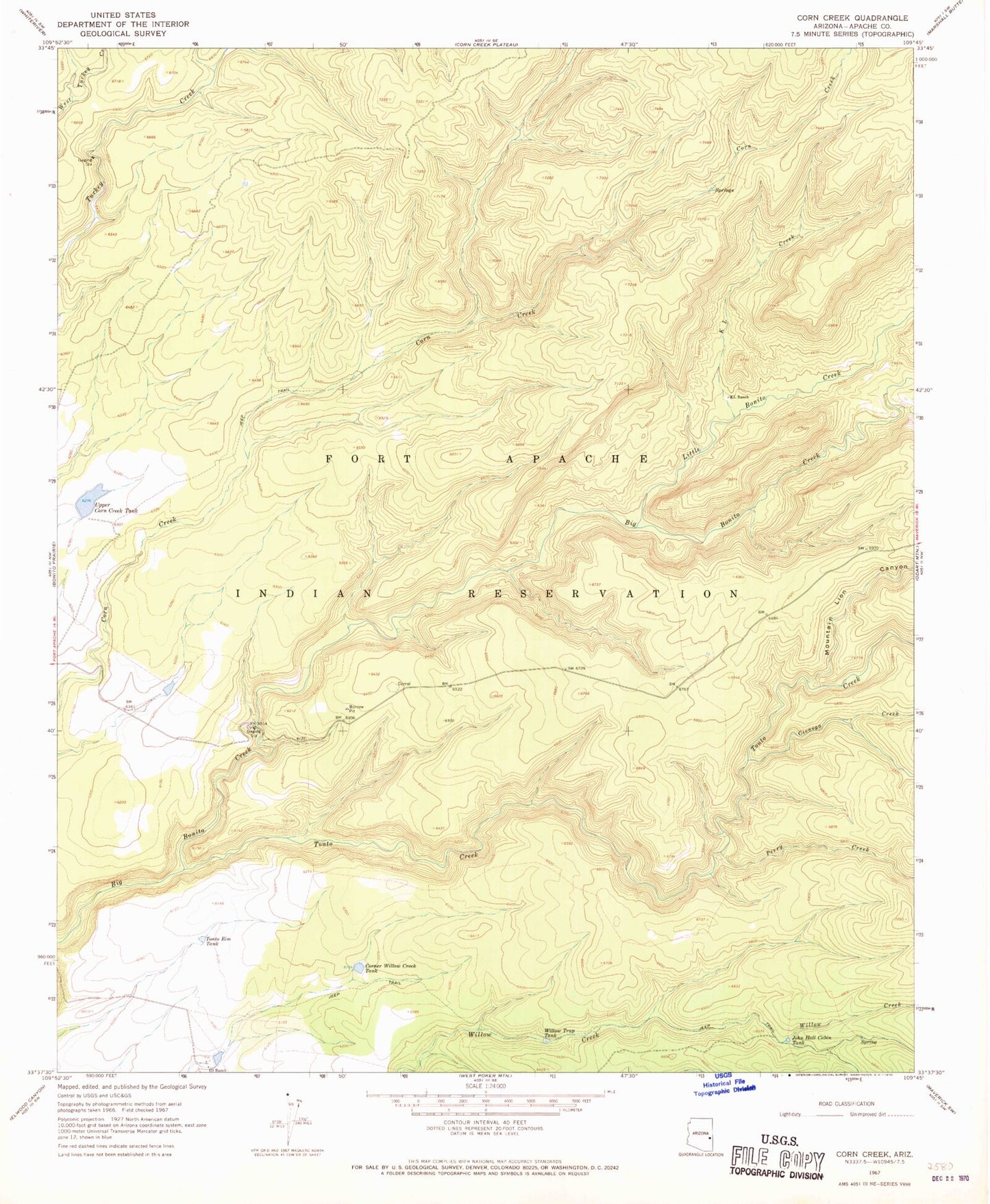
Classic USGS Corn Creek Arizona 7.5'x7.5' Topo Map
Regular price
$16.95
Regular price
Sale price
$16.95
Unit price
per
Couldn't load pickup availability
Historical USGS topographic quad map of Corn Creek in the state of Arizona. Map scale may vary for some years, but is generally around 1:24,000. Print size is approximately 24" x 27"
This quadrangle is in the following counties: Apache.
The map contains contour lines, roads, rivers, towns, and lakes. Printed on high-quality waterproof paper with UV fade-resistant inks, and shipped rolled.
Contains the following named places: Cienega Creek, Corner Willow Creek Tank, I D Tank, John Hall Cabin Tank, K L Creek, KL Ranch, Little Bonito Creek, Mountain Lion Canyon, Perry Creek, Tonto Creek, Tonto Rim Tank, Upper Corn Creek Tank, Willow Trap Tank