MyTopo
Classic USGS Cornerstone Arkansas 7.5'x7.5' Topo Map
Couldn't load pickup availability
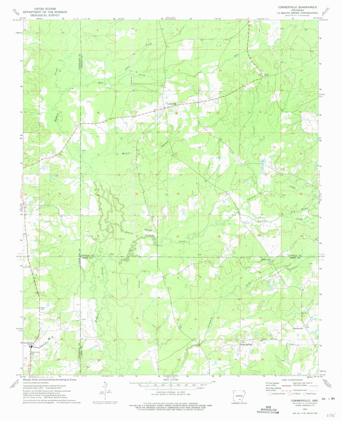
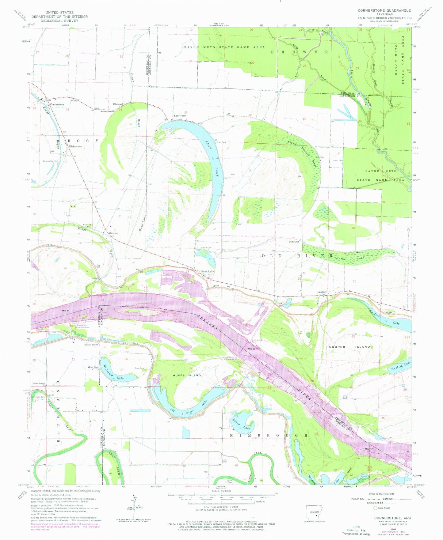
Historical USGS topographic quad map of Cornerstone in the state of Arkansas. Map scale may vary for some years, but is generally around 1:24,000. Print size is approximately 24" x 27"
This quadrangle is in the following counties: Arkansas, Jefferson, Lincoln.
The map contains contour lines, roads, rivers, towns, and lakes. Printed on high-quality waterproof paper with UV fade-resistant inks, and shipped rolled.
Contains the following named places: Antioch Church, Antioch School, Bankhead Landing, Beaver Dam Slough, Bigham Bayou, Brent Cemetery, Clements, Cooper Bend, Cooper Island, Cooper Point, Cornerstone, Elam Cemetery, Elam Church, Elmwood, English, English Lake, Eudora School, Five Fork, Galilee Church, Garrett Cemetery, Goat Shed, Grassy Lake, Greenback Ferry, Huffs Island, Huffs Island Public Use Area, Kimbrough, Kings Bayou, Kinnlen Star Church, Lake Farm, Linn, Lock and Dam Number 3, Long Pond, McDonald Lake, Morning Star Cemetery, Morning Star Church, Mount Zion Church, Old River Lake, Olive Branch Church, Pool Three, Richardson, Rising Star Church, Rising Star Public Use Area, Round Cypress Brake, Round Lake, Round Lake Cemetery, Round Lake Cutoff, Saint Paul Cemetery, Saint Pauls Church, Simpson Point, Swan Lake, Swan Lake Bend, Sweden, Township of Kimbrough, Township of Old River, Union Church, Wash Lake, Wynn Cemetery, Youngstown


