MyTopo
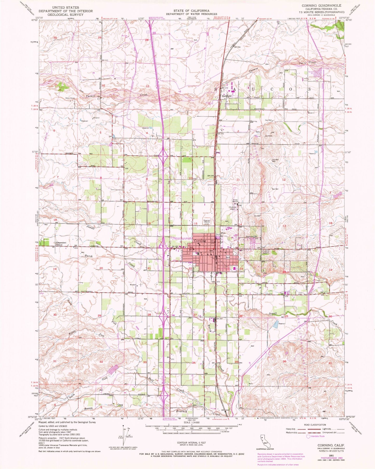
Classic USGS Corning California 7.5'x7.5' Topo Map
Couldn't load pickup availability
Historical USGS topographic quad map of Corning in the state of California. Map scale may vary for some years, but is generally around 1:24,000. Print size is approximately 24" x 27"
This quadrangle is in the following counties: Tehama.
The map contains contour lines, roads, rivers, towns, and lakes. Printed on high-quality waterproof paper with UV fade-resistant inks, and shipped rolled.
Contains the following named places: Bethel Pentecostal Holiness Church, Carnegie Public Library, Centennial Continuation High School, Church of Christ, Church of the Nazarene, City of Corning, Corning, Corning Branch Tehama County Library, Corning City Hall, Corning Division, Corning Gas Field, Corning High School, Corning Memorial Hospital, Corning Municipal Airport, Corning Police Department, Corning Post Office, Corning Volunteer Fire Department, Estil C Clark Park, Family Bible Church, First Baptist Church, First Christian Church, First Methodist Church, First Presbyterian Church, First United Methodist Church, First United Presbyterian Church, Four Square Gospel Church, Full Gospel Assembly Church, Hall Creek, Holiday Shopping Center, Immaculate Conception Roman Catholic Church, Independent School, Maranatha Worship Center, Maywood Middle School, Middle Fork Hall Creek, Mount Olive Lutheran Church, Neighborhood Full Gospel Assembly of God Church, New Life Assembly of God Church, North Fork Hall Creek, Northside Park, Olive View Elementary School, Richfield, Richfield Census Designated Place, Richfield Elementary School, Saint Andrews Episcopal Church, Seventh Day Adventist Church, South Corning Gas Field, South Fork Hall Creek, Sunset Hill Cemetery, Tehama Colusa Canal, Tehama County Fire Department Station 11 Richfield, Tehama County Fire Department Station 12 Corning, The Church of Jesus Christ of Latter Day Saints, Top Cat 1260 Dam, Veterans Memorial Hall, West Street Elementary School, Woodson Park, Yost Park


