MyTopo
Classic USGS Cornish Maine 7.5'x7.5' Topo Map
Couldn't load pickup availability
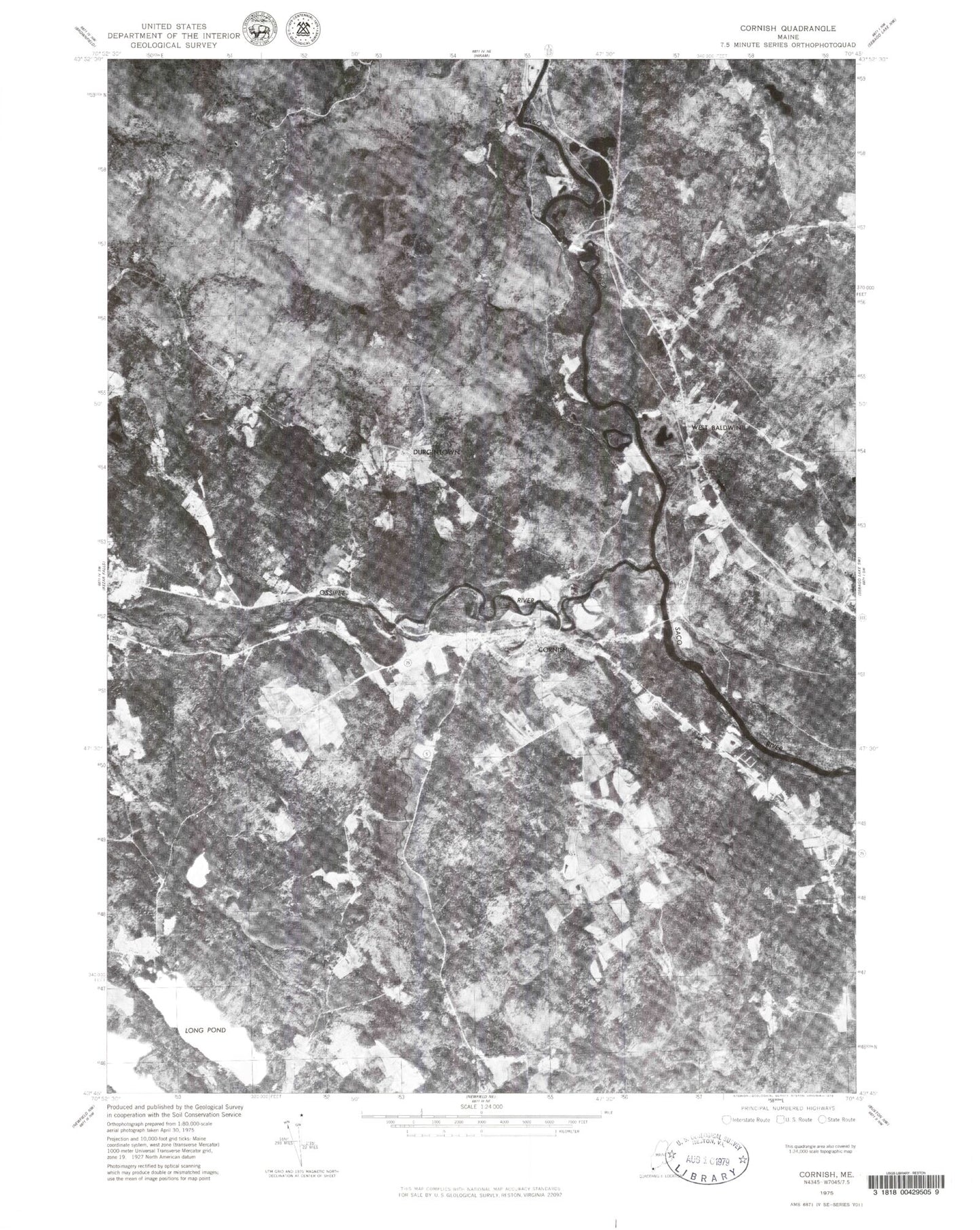
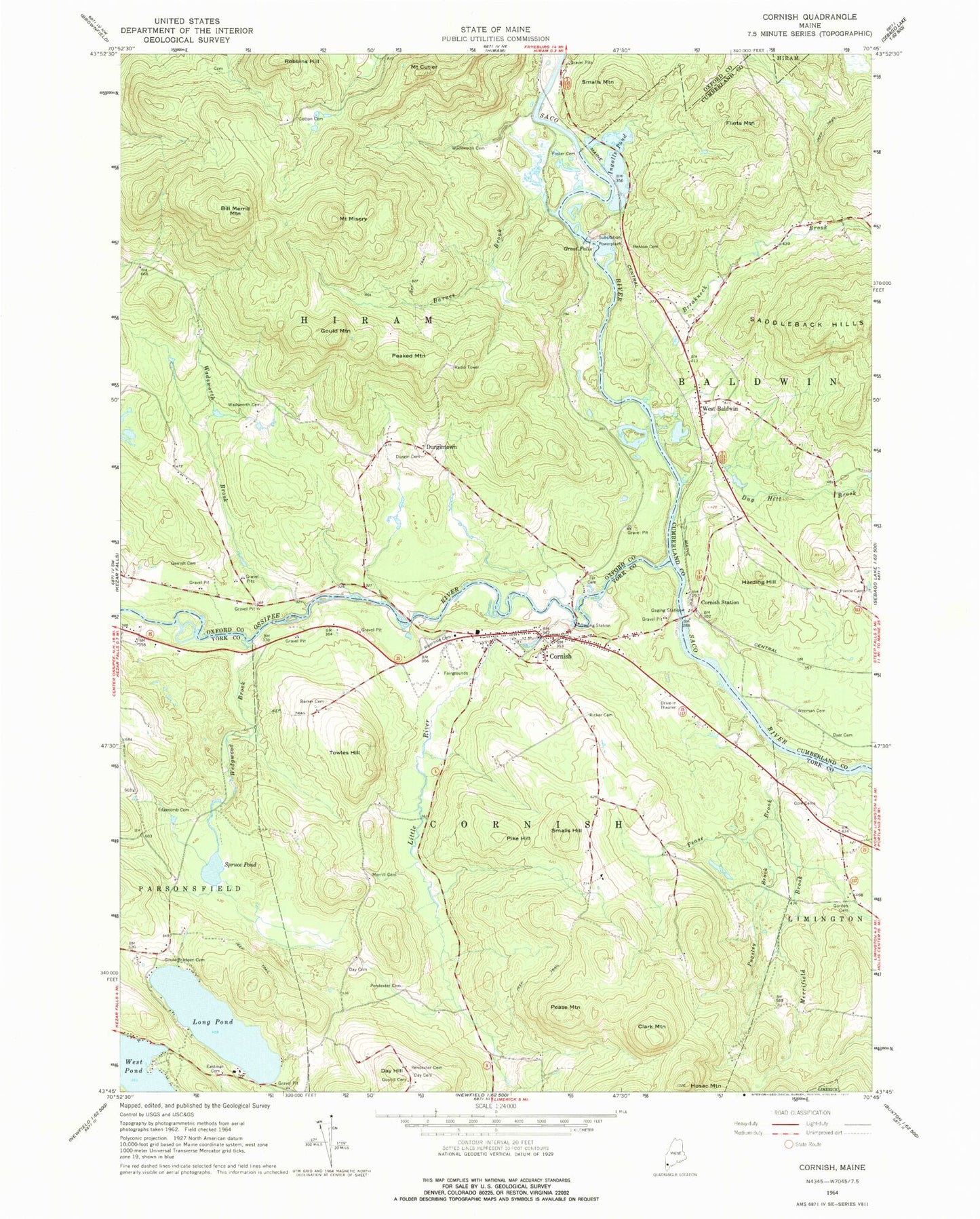
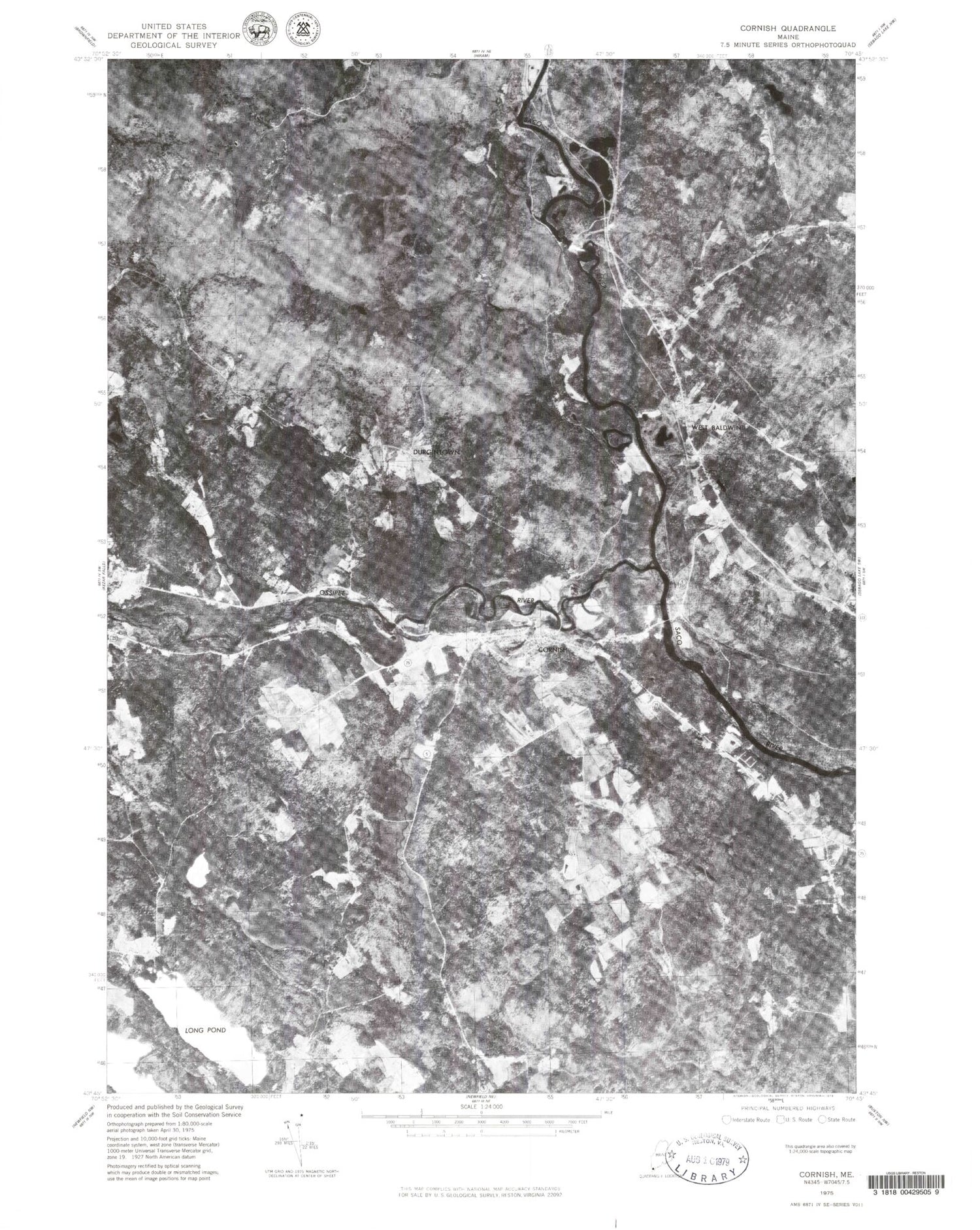
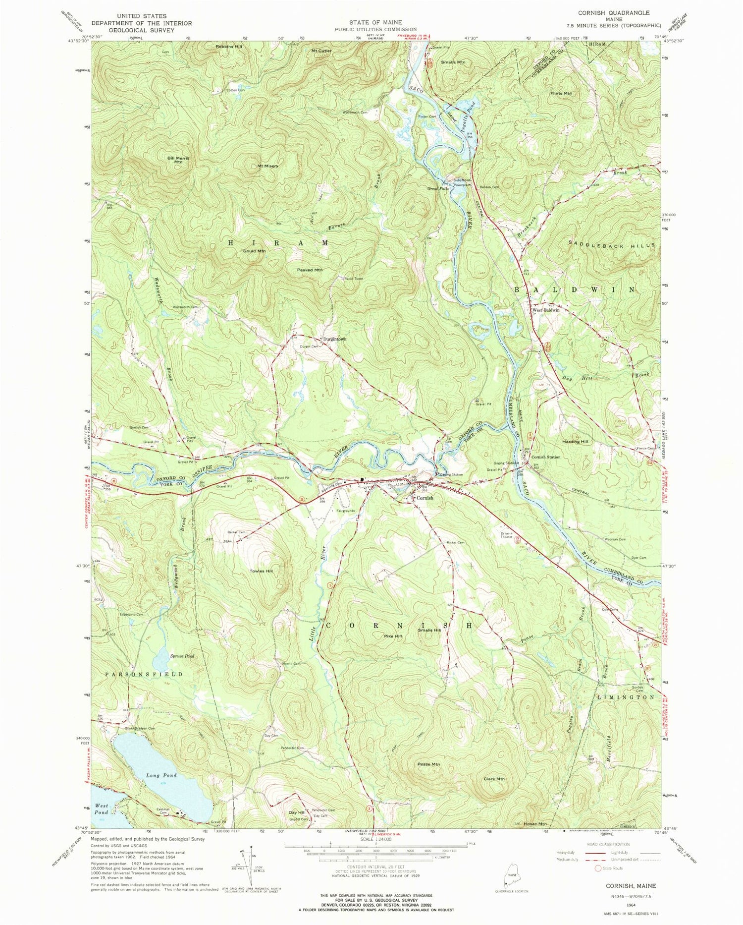
Historical USGS topographic quad map of Cornish in the state of Maine. Typical map scale is 1:24,000, but may vary for certain years, if available. Print size: 24" x 27"
This quadrangle is in the following counties: Cumberland, Oxford, York.
The map contains contour lines, roads, rivers, towns, and lakes. Printed on high-quality waterproof paper with UV fade-resistant inks, and shipped rolled.
Contains the following named places: Barker Cemetery, Barnes Brook, Benton Cemetery, Bill Merrill Mountain, Breakneck Brook, Clark Mountain, Cole Cemetery, Cornish, Cornish Station, Cotton Cemetery, Mount Cutler, Day Cemetery, Day Cemetery, Day Hill, Dug Hill Brook, Durgin Cemetery, Bickford Dyer Cemetery, Eastman Cemetery, Edgecomb Cemetery, Flints Mountain, Daniel Foster Cemetery Plot, Gerrish Cemetery, Gordon Cemetery, Gould Bradeen Cemetery, Gould Mountain, Great Falls, Guptill Cemetery, Harding Hill, Hosac Mountain, Ingalls Pond, Little River, Long Pond, Merrifield Brook, Merrill Cemetery, Mount Misery, Peaked Mountain, Pease Brook, Pease Mountain, Pendexter Cemetery, Pendexter Cemetery, Pierce Cemetery, Pike Hill, Pugsley Brook, Ricker Cemetery, Riverside Cemetery, Robbins Hill, Smalls Hill, Smalls Mountain, Spruce Pond, Tar Cemetery, Towles Hill, Wadsworth Brook, Alexander Wadsworth Cemetery, Wadsworth Cemetery, Wedgwood Brook, Weeman Cemetery, West Baldwin, West Pond, Durgintown, Town of Cornish, Town of Hiram, Ossipee River, Hiram Falls Dam, Saco River Reservoir, South Hiram Elementary School, Bonney Memorial Library, Cornish Elementary School, Cornish Post Office, Odd Fellows-Rebekah Hall, West Baldwin Post Office, Cornish Volunteer Fire Department, West Baldwin Fire Station, William Cotton II Cemetery, West Baldwin Cemetery, Sacopee Valley High School, Sacopee Valley Middle School, New Country School, Cornish Census Designated Place


