MyTopo
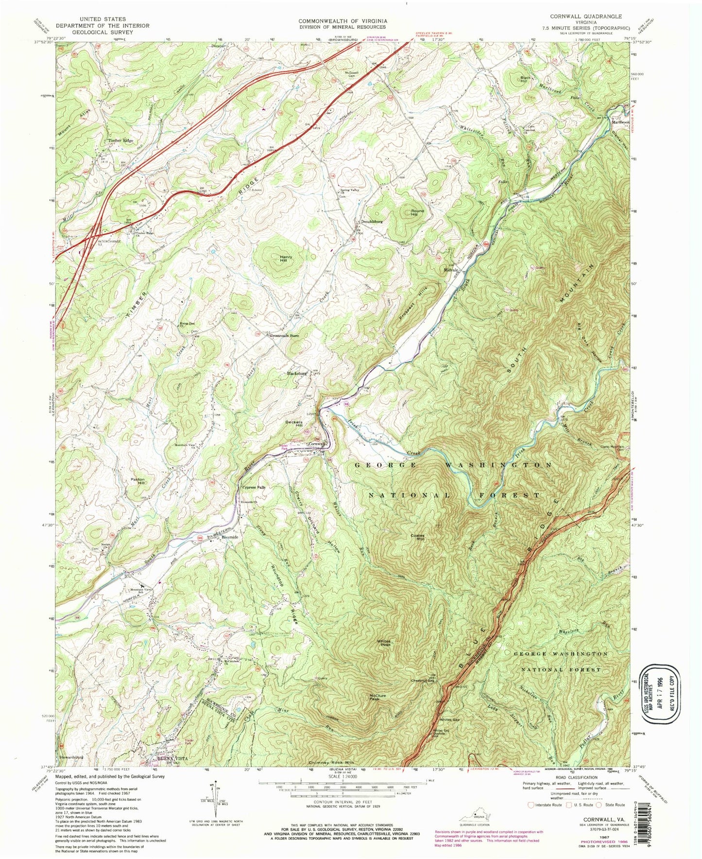
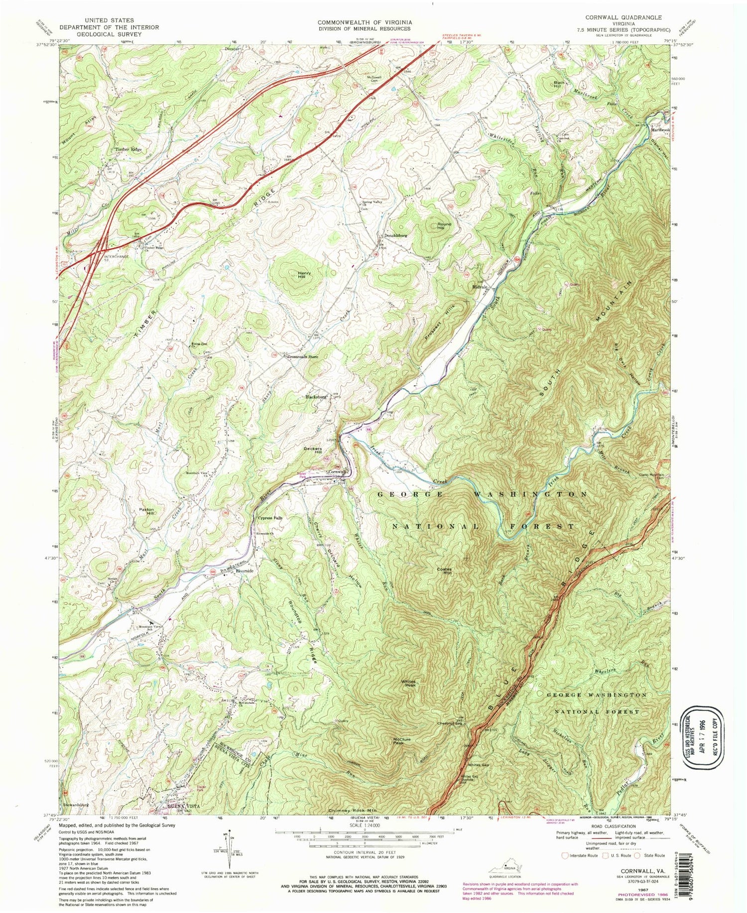
Classic USGS Cornwall Virginia 7.5'x7.5' Topo Map
Couldn't load pickup availability
Historical USGS topographic quad map of Cornwall in the state of Virginia. Typical map scale is 1:24,000, but may vary for certain years, if available. Print size: 24" x 27"
This quadrangle is in the following counties: Amherst, Buena Vista (city), Rockbridge.
The map contains contour lines, roads, rivers, towns, and lakes. Printed on high-quality waterproof paper with UV fade-resistant inks, and shipped rolled.
Contains the following named places: Mount Atlas, Big Dark Hollow, Blacksburg, Cherry Orchard Hollow, Chestnut Sag, Clarks Mountain Cemetery, Coates Mountain, Concord Church, Craig Creek, Crossroads Store, Cypress Falls, Dismal Hollow, Falling Run, Henry Hill, Irish Creek, Marl Creek, Marlbrook Creek, McClure Peak, McCutchen Church, McDowell Cemetery, Mill Branch, Mountain View Church, Mountain View Elementary School, Neriah Church, Nicholson Run, Rising Zion Church, Riverside Church, Rock Branch, Roundtop Ridge, Sheep Creek, Spring Valley Church, Stony Run, Timber Ridge, Timber Ridge, Timber Ridge Church, Whites Gap, Whites Gap Overlook, Whites Peak, Whites Run, Whitesides Run, Buck Hill, Chimney Rock Mountain, Cornwall, Deckers Hill, Donaldsburg, Marlbrook, Midvale, Paxton Hill, Prospect Hills, Riverside, Round Hill, South Mountain, Stewardsburg, Shenandoah Valley Health Care Center, WREL-FM (Buena Vista), Broad View School (historical), Canaan Hill, Mountain View, Mountain View School (historical), Clarks Church (historical), McCutcheons Chapel, Timber Ridge Cemetery, South River District


