MyTopo
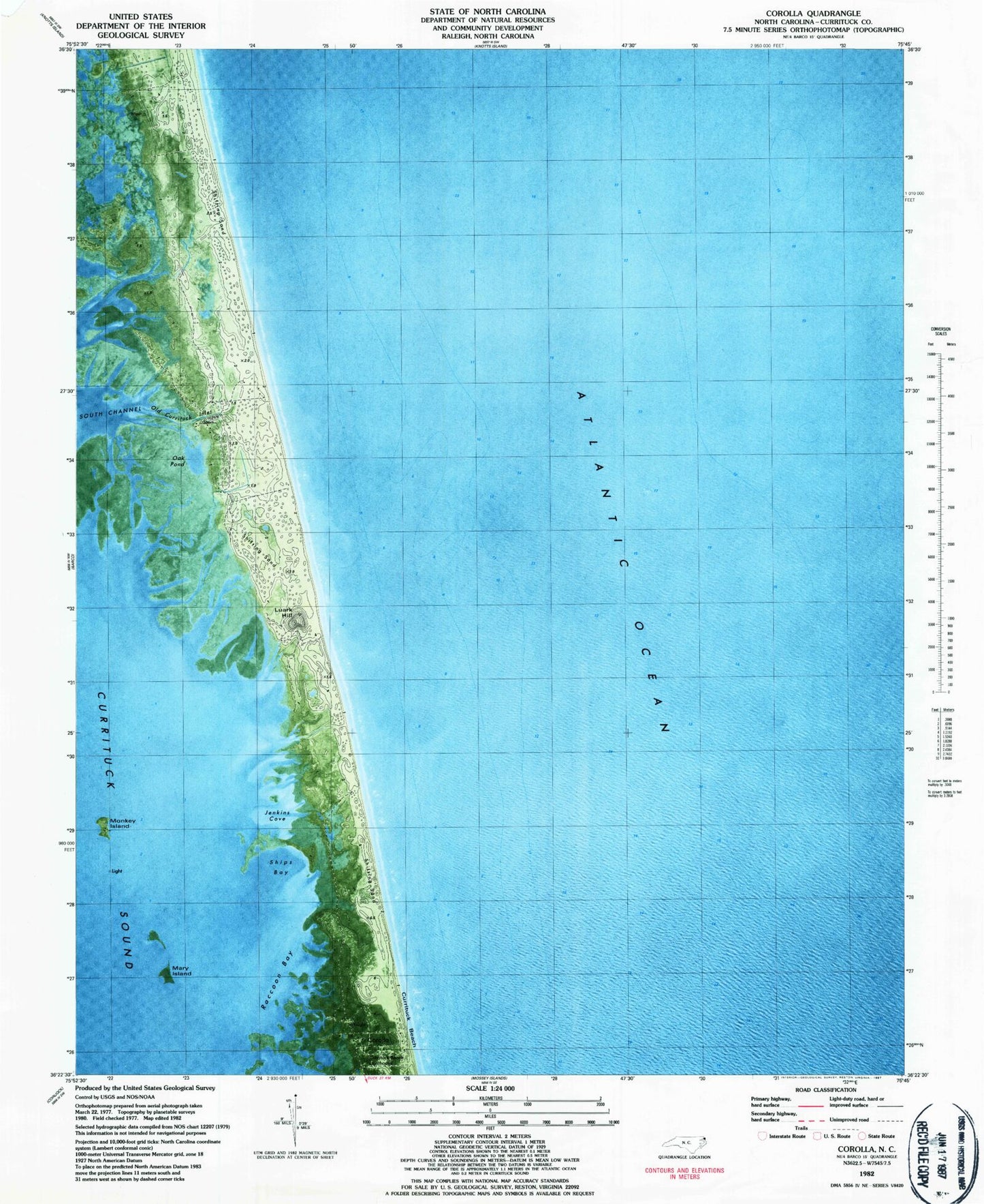
Classic USGS Corolla North Carolina 7.5'x7.5' Topo Map
Couldn't load pickup availability
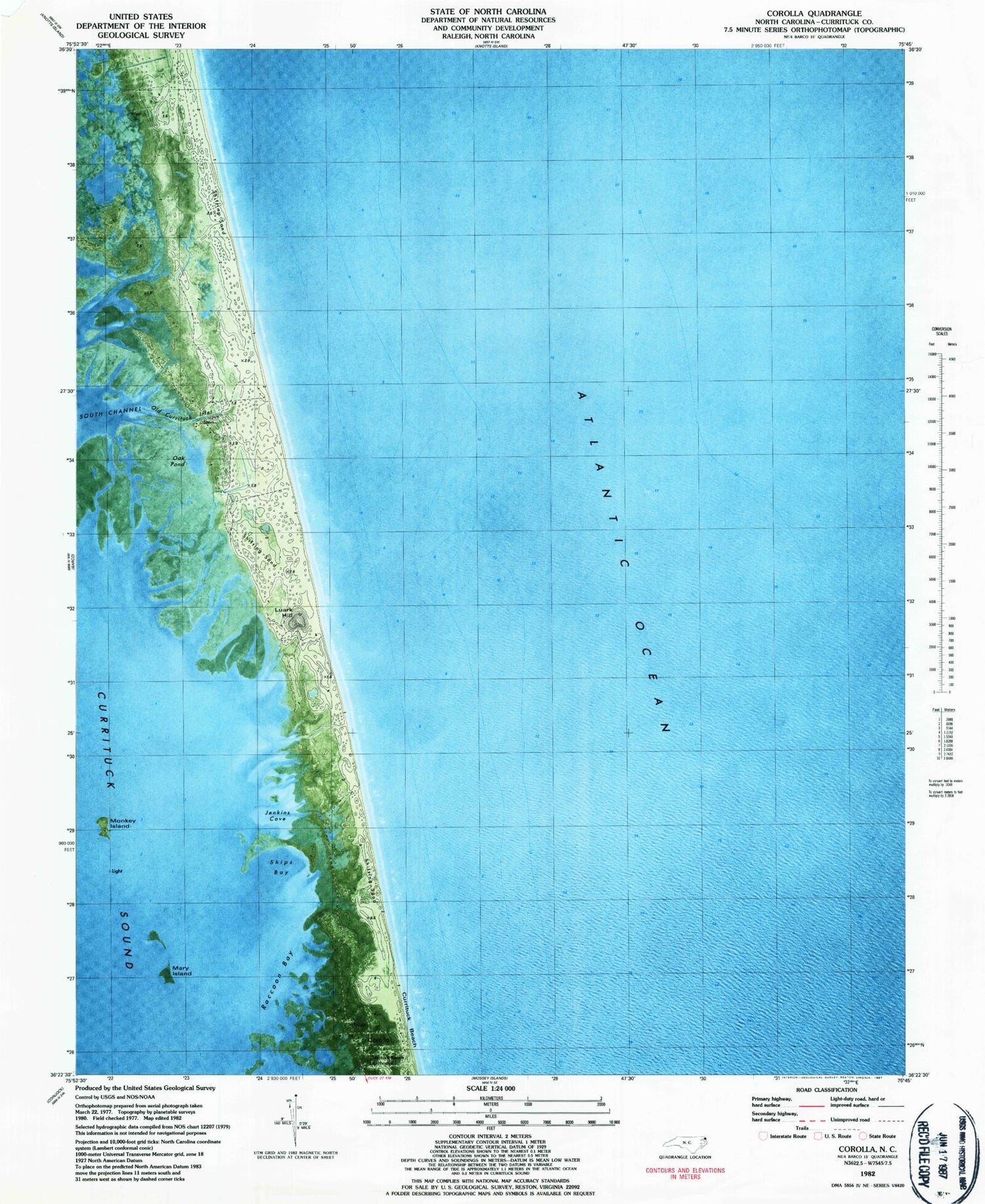
Historical USGS topographic quad map of Corolla in the state of North Carolina. Map scale may vary for some years, but is generally around 1:24,000. Print size is approximately 24" x 27"
This quadrangle is in the following counties: Currituck.
The map contains contour lines, roads, rivers, towns, and lakes. Printed on high-quality waterproof paper with UV fade-resistant inks, and shipped rolled.
Contains the following named places: Corolla, Corolla C G Station 166, Corolla Light Village Shops, Corolla Post Office, Currituck Beach, Currituck Beach Lighthouse, Currituck County Sheriff's Office Corolla / Carova Office, Jenkins Cove, Luark Hill, Lucks Island, Mary Island, Monkey Island, Monkey Island Water Tank, Musketo Inlet, Oak Pond, Ocean Hills, Old Currituck Inlet, Penny Hill C G Station 167, Raccoon Bay, Seagull, Ships Bay


