MyTopo
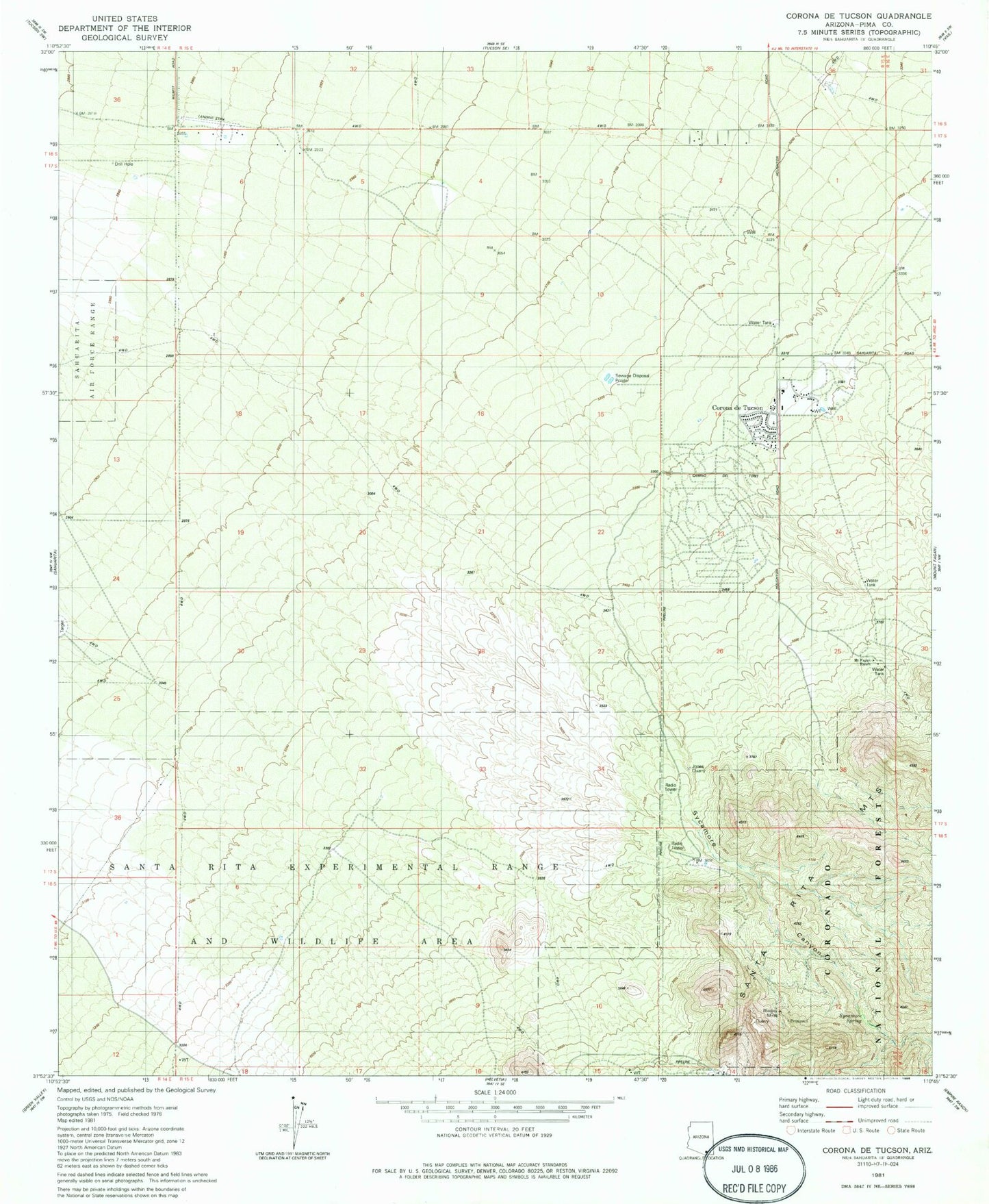
Classic USGS Corona De Tucson Arizona 7.5'x7.5' Topo Map
Couldn't load pickup availability
Historical USGS topographic quad map of Corona De Tucson in the state of Arizona. Map scale may vary for some years, but is generally around 1:24,000. Print size is approximately 24" x 27"
This quadrangle is in the following counties: Pima.
The map contains contour lines, roads, rivers, towns, and lakes. Printed on high-quality waterproof paper with UV fade-resistant inks, and shipped rolled.
Contains the following named places: Bluejay Mine, Civano Middle School, Corona de Tucson, Corona de Tucson Baptist Church, Corona de Tucson Census Designated Place, Corona De Tucson Fire Department Station 181, Corona Foothills Middle School, Johnson Ranch, Jones Quarry, Mount Fagan Ranch, Santa Rita Golf Club, Sycamore Canyon, Sycamore Elementary School, Sycamore Spring