MyTopo
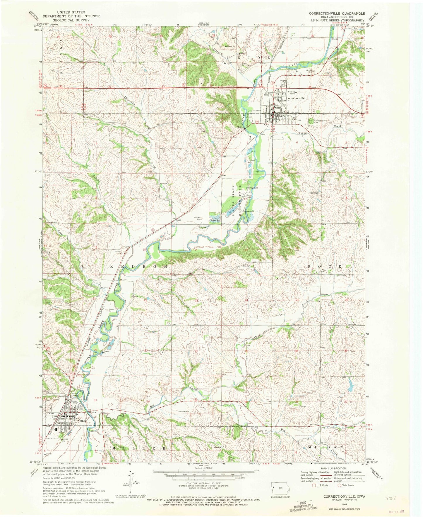
Classic USGS Correctionville Iowa 7.5'x7.5' Topo Map
Couldn't load pickup availability
Historical USGS topographic quad map of Correctionville in the state of Iowa. Map scale may vary for some years, but is generally around 1:24,000. Print size is approximately 24" x 27"
This quadrangle is in the following counties: Woodbury.
The map contains contour lines, roads, rivers, towns, and lakes. Printed on high-quality waterproof paper with UV fade-resistant inks, and shipped rolled.
Contains the following named places: Anthon, Anthon - Oto - Maple Valley Middle School, Anthon Chiropractic Office, Anthon City Hall, Anthon City Police Department, Anthon Community Center, Anthon Elementary School, Anthon Golf Club, Anthon Mercy Medical Clinic, Anthon Post Office, Anthon Public Library, Anthon Rescue Squad Ambulance Service, Anthon Volunteer Fire Department, Assembly of God Church, Bacon Creek, Big Creek, Church of Christ, City of Anthon, City of Correctionville, Coon Creek, Copeland Park, Correctionville, Correctionville Cemetery, Correctionville Family Medical Center, Correctionville Fire and Rescue, Correctionville Golf Club, Correctionville Library, Correctionville Mercy Medical Center, Correctionville Nursing and Rehabilitation Center, Correctionville Post Office, Discord, Discord Post Office, Grace Lutheran Church, Grace United Methodist Church, Hillside Church, Historic Sioux City State Historical Marker, Kingsley Medical Clinic, Little Sioux County Park, Oak Hill Cemetery, Pierson Creek, Pithan Feedlot, River Valley Alternative High School, River Valley Junior / Senior High School, Rock Creek, Saint Joseph's Church, Shagbark Hills Area, Sioux Bend Public Hunting Area, Sioux Bend Wildlife Area, Stahls Park, Threemile Creek, Township of Kedron, Trinity Lutheran Church, United Methodist Church, Walling River Access, Western Iowa Co-op Elevator, Woodbury County Courthouse, ZIP Code: 51016


