MyTopo
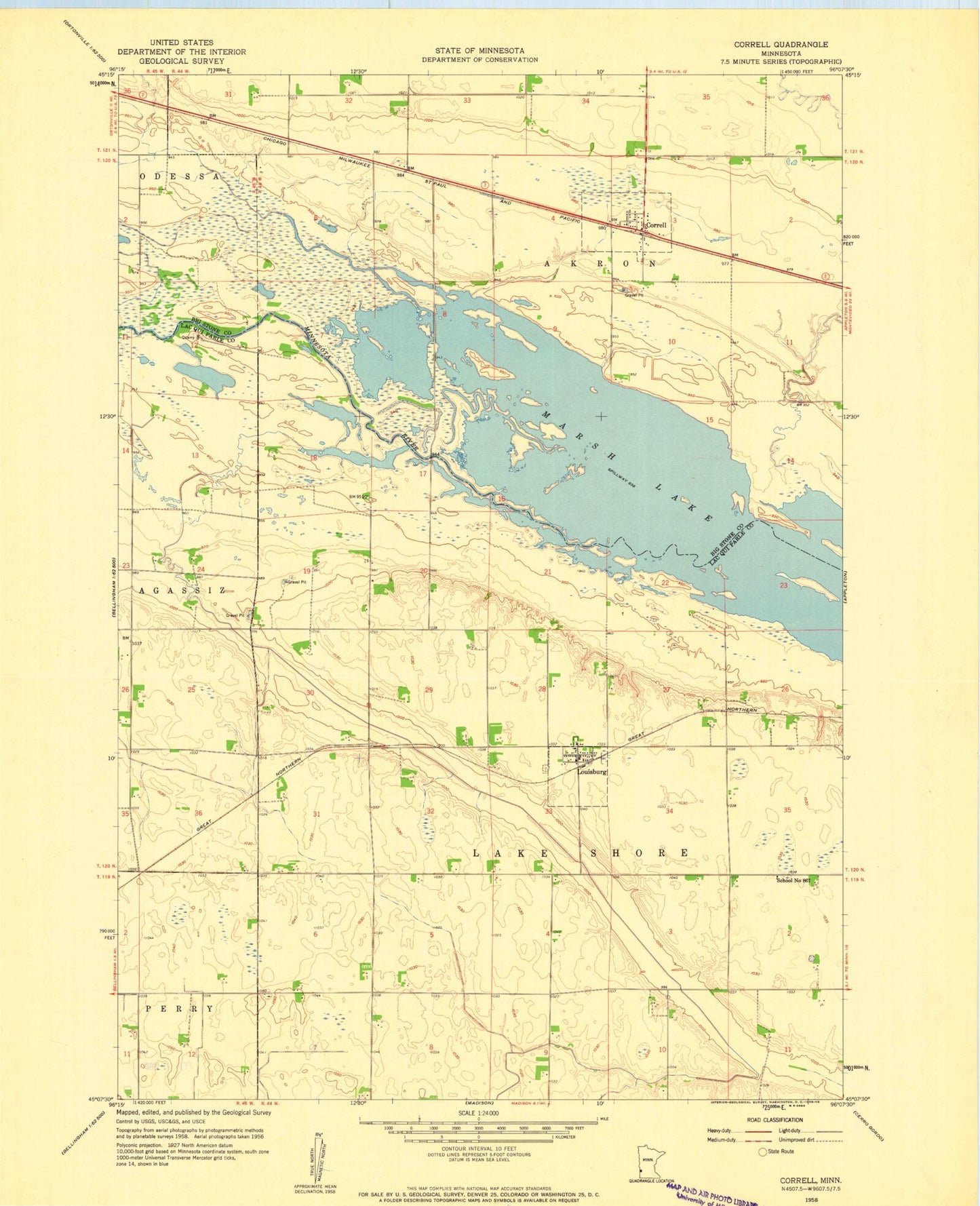
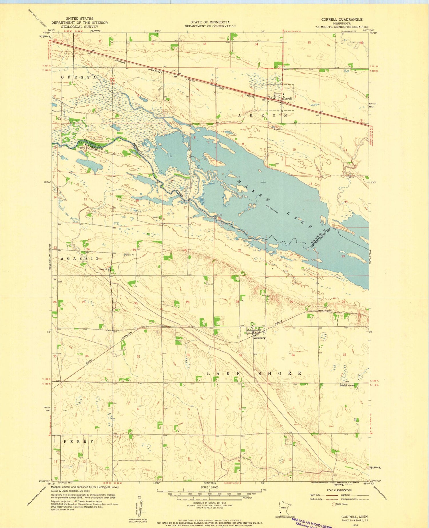
Classic USGS Correll Minnesota 7.5'x7.5' Topo Map
Couldn't load pickup availability
Historical USGS topographic quad map of Correll in the state of Minnesota. Map scale may vary for some years, but is generally around 1:24,000. Print size is approximately 24" x 27"
This quadrangle is in the following counties: Big Stone, Lac qui Parle.
The map contains contour lines, roads, rivers, towns, and lakes. Printed on high-quality waterproof paper with UV fade-resistant inks, and shipped rolled.
Contains the following named places: City of Correll, City of Louisburg, Correll, Correll Post Office, Correll Volunteer Fire Department, Good Shepherd Lutheran Church, Grace Lutheran Church, Lac Qui Parle Wildlife Refuge Number 2 Dam, Louisberg Lutheran Church, Louisburg, Louisburg Fire Department, Louisburg Lutheran Cemetery, Louisburg Post Office, School Number 867, Township of Lake Shore