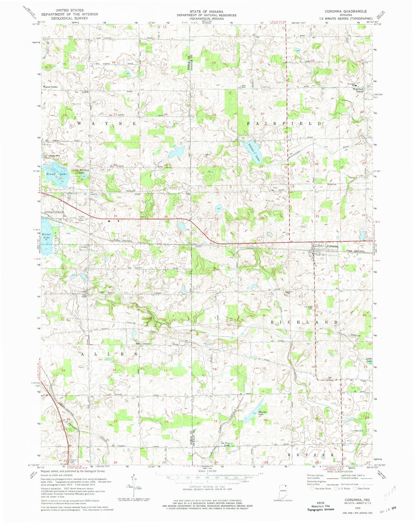
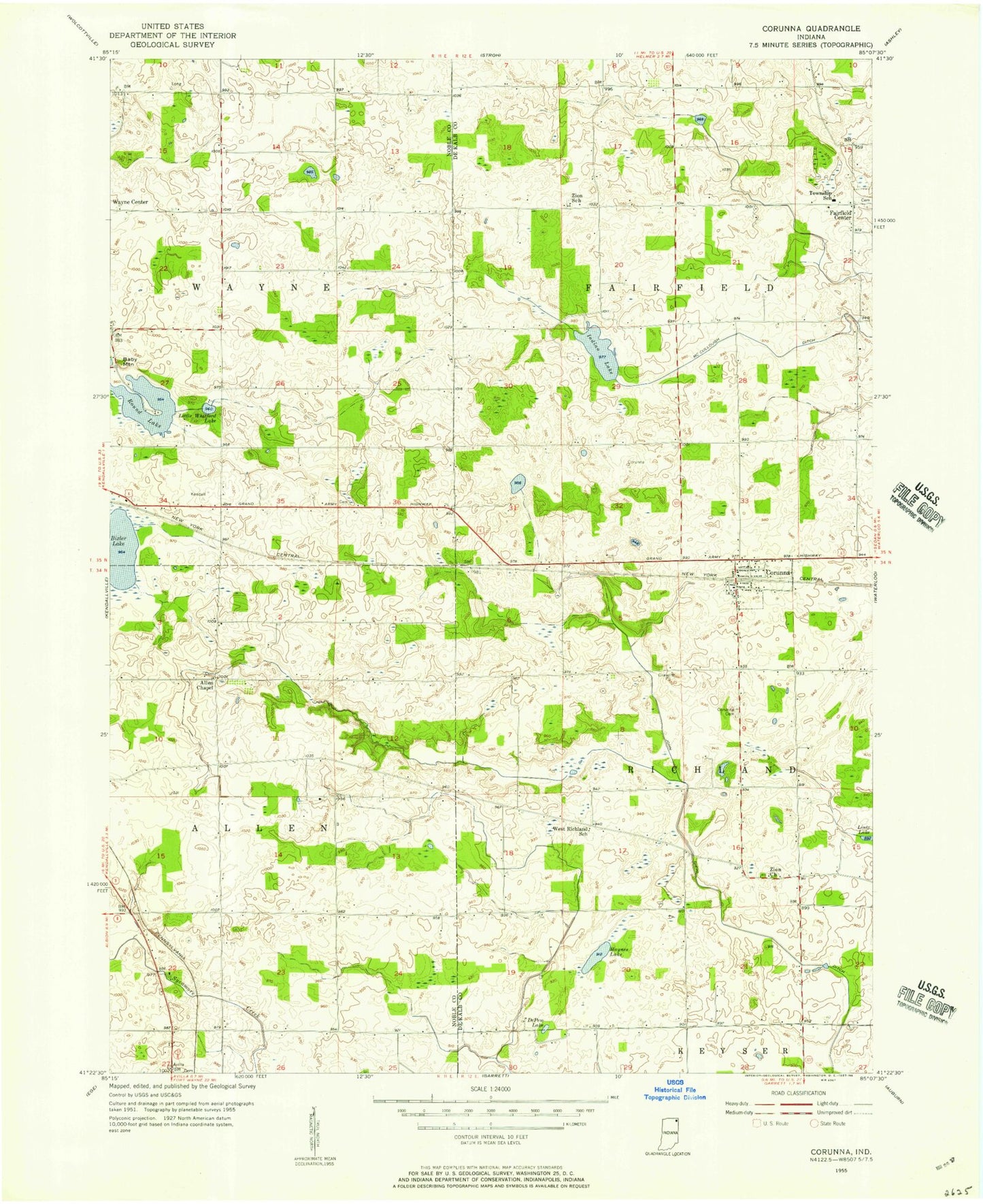
MyTopo
Classic USGS Corunna Indiana 7.5'x7.5' Topo Map
Couldn't load pickup availability
Historical USGS topographic quad map of Corunna in the state of Indiana. Map scale may vary for some years, but is generally around 1:24,000. Print size is approximately 24" x 27"
This quadrangle is in the following counties: DeKalb, Noble.
The map contains contour lines, roads, rivers, towns, and lakes. Printed on high-quality waterproof paper with UV fade-resistant inks, and shipped rolled.
Contains the following named places: Allen Chapel, Baby Mountain, Bixler Lake, Corunna, Corunna Cemetery, Corunna Post Office, Corunna Volunteer Fire Department, Depew Lake, Diehl Ditch, Fairfield Center, Haynes Lake, Indian Lake, Lake Maxler, Little Whitford Lake, McCullough Ditch, Niezer Dam, Round Lake, Saint Marys Cemetery, Town of Corunna, Township of Fairfield, Township of Richland, Zion Church, Zion School, ZIP Code: 46730