MyTopo
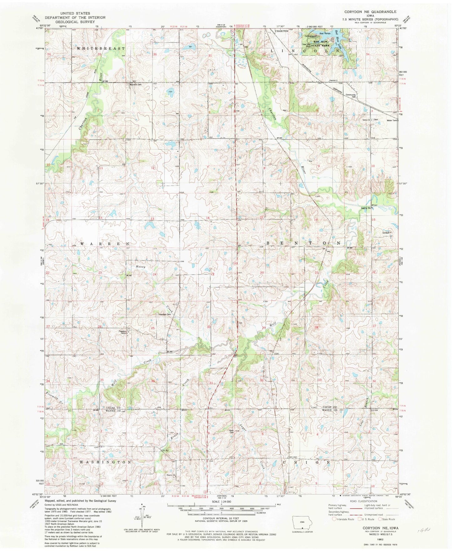
Classic USGS Corydon NE Iowa 7.5'x7.5' Topo Map
Couldn't load pickup availability
Historical USGS topographic quad map of Corydon NE in the state of Iowa. Typical map scale is 1:24,000, but may vary for certain years, if available. Print size: 24" x 27"
This quadrangle is in the following counties: Lucas, Wayne.
The map contains contour lines, roads, rivers, towns, and lakes. Printed on high-quality waterproof paper with UV fade-resistant inks, and shipped rolled.
Contains the following named places: Braden School, Brush Creek, Fivemile Creek, Freedom Cemetery, Freedom School, Harmony School, Harts Mill Creek, Honey Creek, Lincoln School, Mayflower School, Myers School, Otterbein Church, Palmer School, Salem Church, Salem School, Sharon Church, Sugar Creek, Union School, Washington School, Wolf Creek, Red Haw State Park, Moore Private Airport, Township of Benton, Ryan Cemetery, Waynick Cemetery, Freedom Camp, Red Haw Lake, Sharon Cemetery, Cinder Marsh Park, Milan Post Office (historical), Freedom Post Office (historical), Jack Coffey Memorial Library, Pin Oak Marsh Lodge Educational Center, Pin Oak Marsh, Douglass Cemetery, Salem Cemetery