MyTopo
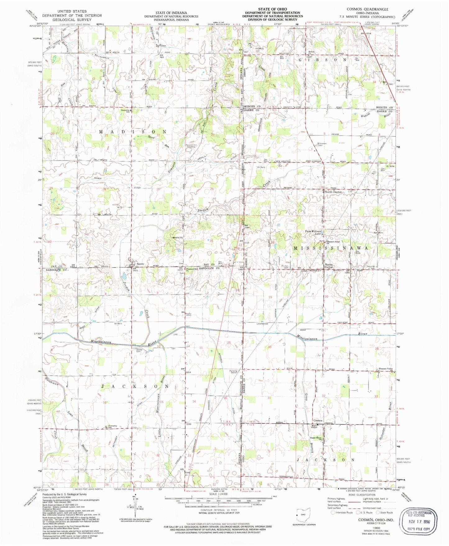
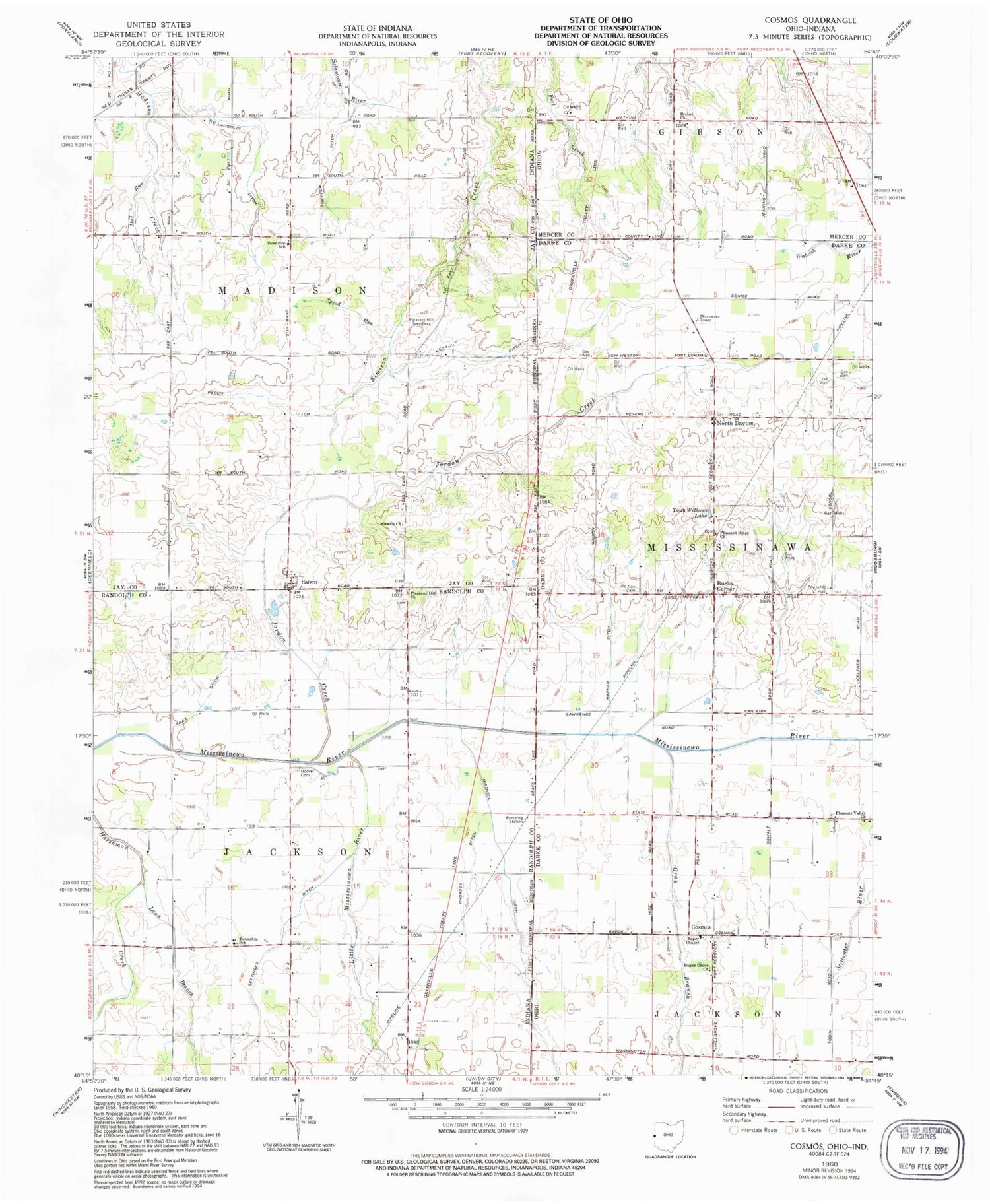
Classic USGS Cosmos Ohio 7.5'x7.5' Topo Map
Couldn't load pickup availability
Historical USGS topographic quad map of Cosmos in the states of Ohio, Indiana. Map scale may vary for some years, but is generally around 1:24,000. Print size is approximately 24" x 27"
This quadrangle is in the following counties: Darke, Jay, Mercer, Randolph.
The map contains contour lines, roads, rivers, towns, and lakes. Printed on high-quality waterproof paper with UV fade-resistant inks, and shipped rolled.
Contains the following named places: Bethel Church, Bray Ditch, Bucks Corner, Bunker Hill School, College Hill School, Cosmos, Cosmos Post Office, Cosmos School, Gettinger Ditch, Gray Branch, Henry Ditch, Hess Farm, Hoover Cemetery, Horney School, Jordon Creek, Kirgan Farms, Little Mississinewa River, Lows Branch, Mad Run, McLaughlin Ditch, Miracle Church, Mitchell Ditch, Mount Zion Cemetery, Mount Zion School, North Dayton, Oak Grove School, Peden Ditch, Pleasant Hill Church, Pleasant Hill Speedway, Pleasant Ridge Cemetery, Pleasant Ridge Church, Pleasant Valley Church, Raper Chapel, Raper Chapel Cemetery, Rhoades Ditch, Salem, Sheffer Ditch, Speed Run, Sugar Grove Church of Christ, Timmerman Farm, Tobin School, Township of Jackson, Township of Madison, Township of Mississinawa, Twin Willows Lake, Vogel Hog Farm


