MyTopo
Classic USGS Cost Texas 7.5'x7.5' Topo Map
Couldn't load pickup availability
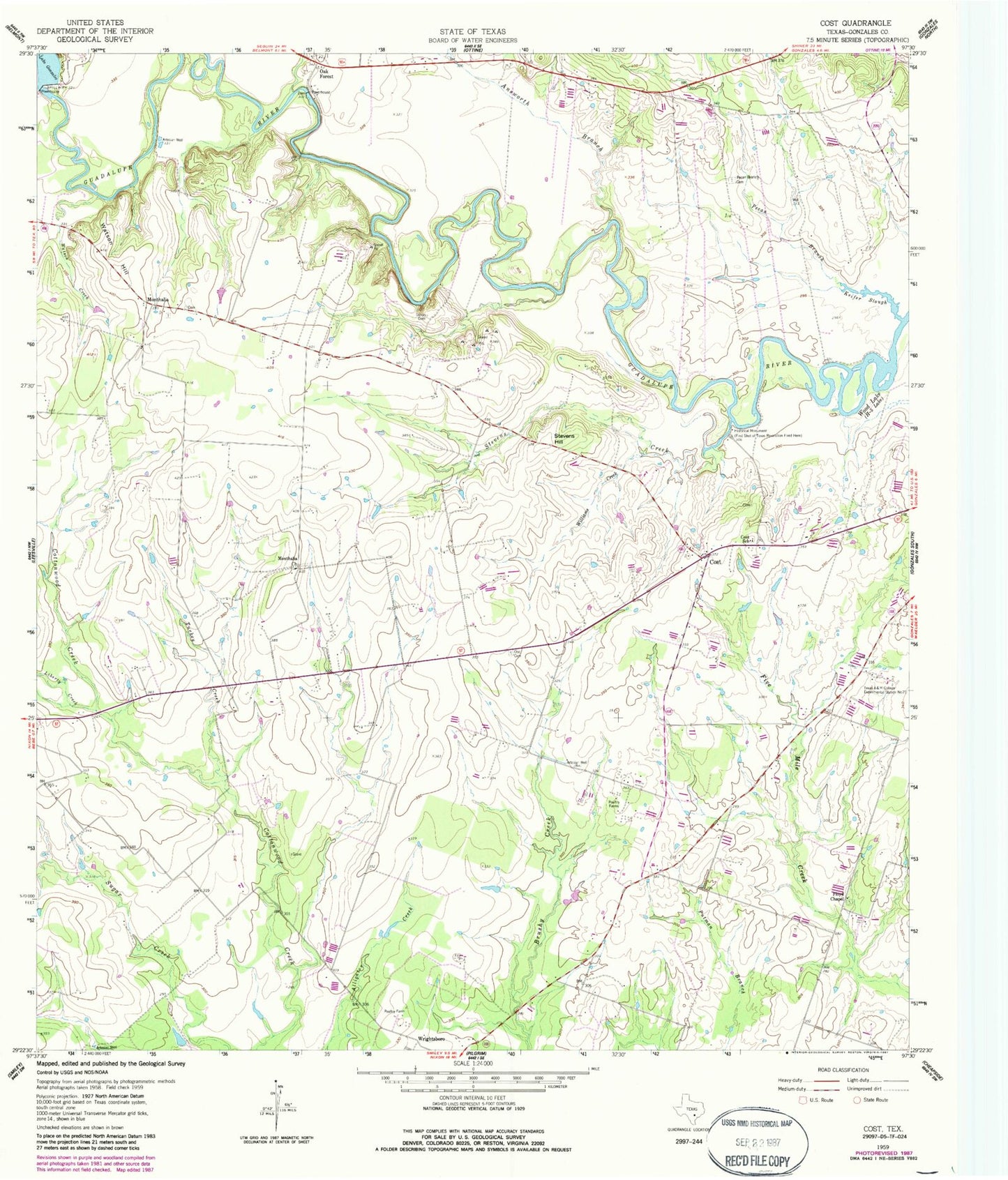
Historical USGS topographic quad map of Cost in the state of Texas. Map scale may vary for some years, but is generally around 1:24,000. Print size is approximately 24" x 27"
This quadrangle is in the following counties: Gonzales.
The map contains contour lines, roads, rivers, towns, and lakes. Printed on high-quality waterproof paper with UV fade-resistant inks, and shipped rolled.
Contains the following named places: Answorth Branch, Cost, Cost Post Office, Cost School, Floyd Chapel, Keifer Slough, Lake Gonzales Dam, Liberty Creek, M A Wade Dam, M A Wade Lake, Monthalia, Monthalia Church, Oak Forest, Oso Cemetery, Pecan Branch, Pecan Branch Cemetery, Stevens Creek, Stevens Hill, Storey Cemetery, Texas A and M College Experimental Station, Turkey Creek, Watson Creek, Watson Hill, Williams Creek, ZIP Code: 78614