MyTopo
Classic USGS Cote Dame Marie Michigan 7.5'x7.5' Topo Map
Couldn't load pickup availability
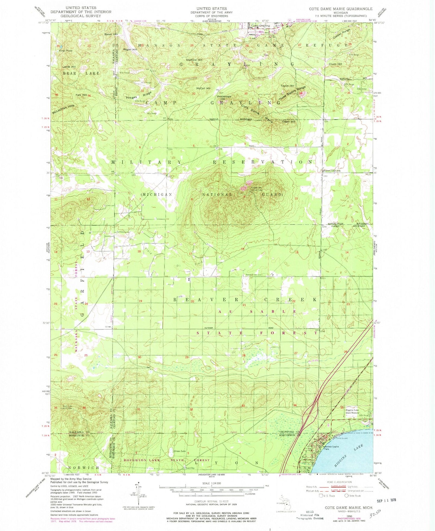
Historical USGS topographic quad map of Cote Dame Marie in the state of Michigan. Map scale may vary for some years, but is generally around 1:24,000. Print size is approximately 24" x 27"
This quadrangle is in the following counties: Crawford, Kalkaska, Missaukee, Roscommon.
The map contains contour lines, roads, rivers, towns, and lakes. Printed on high-quality waterproof paper with UV fade-resistant inks, and shipped rolled.
Contains the following named places: American Legion Park, Baker Hill, Beaver Creek Cemetery, Beaver Creek School, Beginning of State Reforestation Historical Marker, Civilian Conservation Corps Museum, Copper Range, Cote Dame Marie, Crum Hill, Falk Hill, Grass Lake, Grass Lake Lookout Tower, Higgins Lake State Nursery, Kings Ponds, Lamb Hill, McCall Hill, McLachlan Hills, North Higgins Lake State Park, North Higgins Lake State Park East Campground, North Higgins Lake State Park West Campground, Officer's Club Historical Marker, Olsen Hill, Portage Lake Lookout Tower, Regan Hill, Stafford Hill, Taylor Hill, Tent City, Three Sisters Range, Vosges Ridge, Wellington Farm Park, Wellington Post Office, Westenage Hill