MyTopo
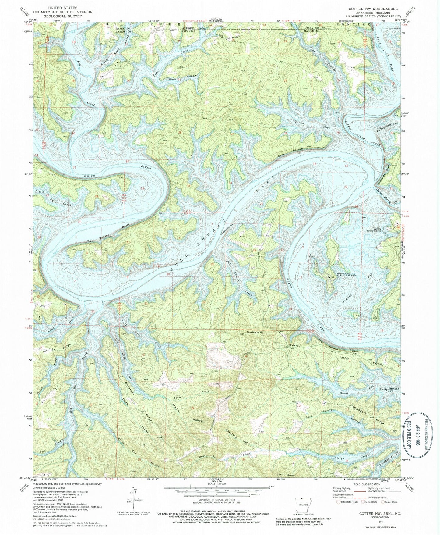
Classic USGS Cotter NW Arkansas 7.5'x7.5' Topo Map
Couldn't load pickup availability
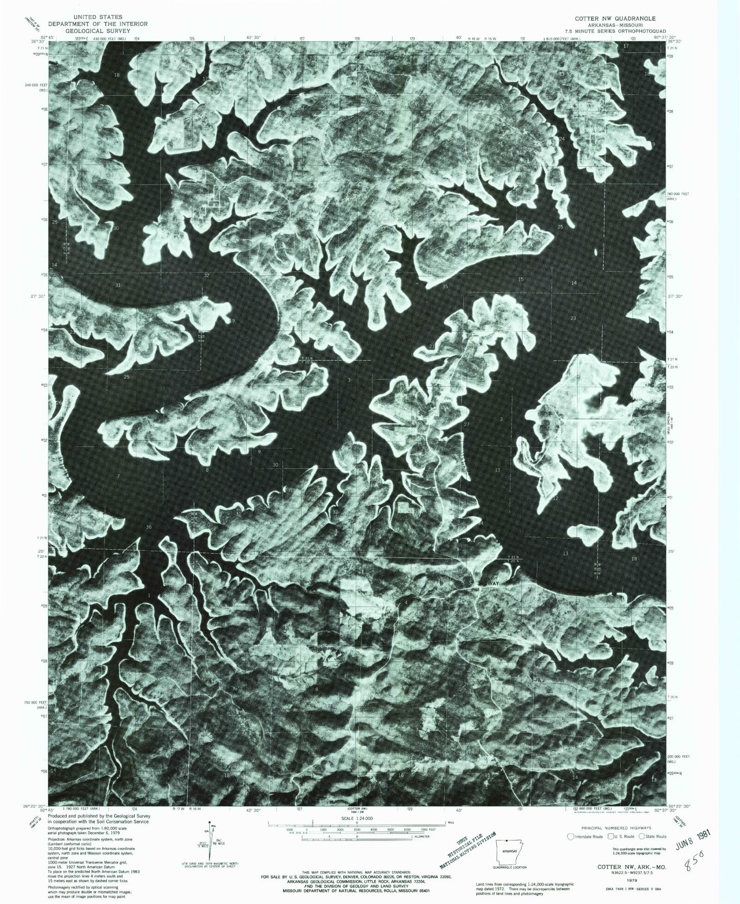
Historical USGS topographic quad map of Cotter NW in the state of Arkansas. Map scale may vary for some years, but is generally around 1:24,000. Print size is approximately 24" x 27"
This quadrangle is in the following counties: Marion, Ozark.
The map contains contour lines, roads, rivers, towns, and lakes. Printed on high-quality waterproof paper with UV fade-resistant inks, and shipped rolled.
Contains the following named places: Barnes Bay, Big Music Creek, Boren Fork, Buck Spring Hollow, Bull Bottom Bluff, Buzzard Bluff, Cane Bottom Bluff, Carver Hollow, Cedar Creek, Cedar Hollow, Coal Pit Hollow, Coon Creek, Dark Hollow, Dry Music Creek, Frost Point, Gulley Spring Creek, Hollingsworth Cove, Jones Point Wildlife Management Area, Keystone Hollow, Little Cedar Creek, Little Fool Creek, Little Music Creek, Little North Fork White River, Midway, Oakland Public Use Area, Ozard Isle Public Use Area, Ozark Isle, Ozark Isle Public Use Area, Pine Branch, Pine Hollow, Pine Mountain, Pine Mountain Airpark, Pine Mountain Volunteer Fire Department, Plum Hollow, Pot Shoals Creek, Sister Creek, Stallion Hollow, Stave Mill Hollow, Tie Chute Bluff, Tom Hollow, Totty Field, Township of Cedar Creek, Township of Keeter, Wilkerson Ridge, Wilson Bluff, Windgate Ridge, Yocum Cove