MyTopo
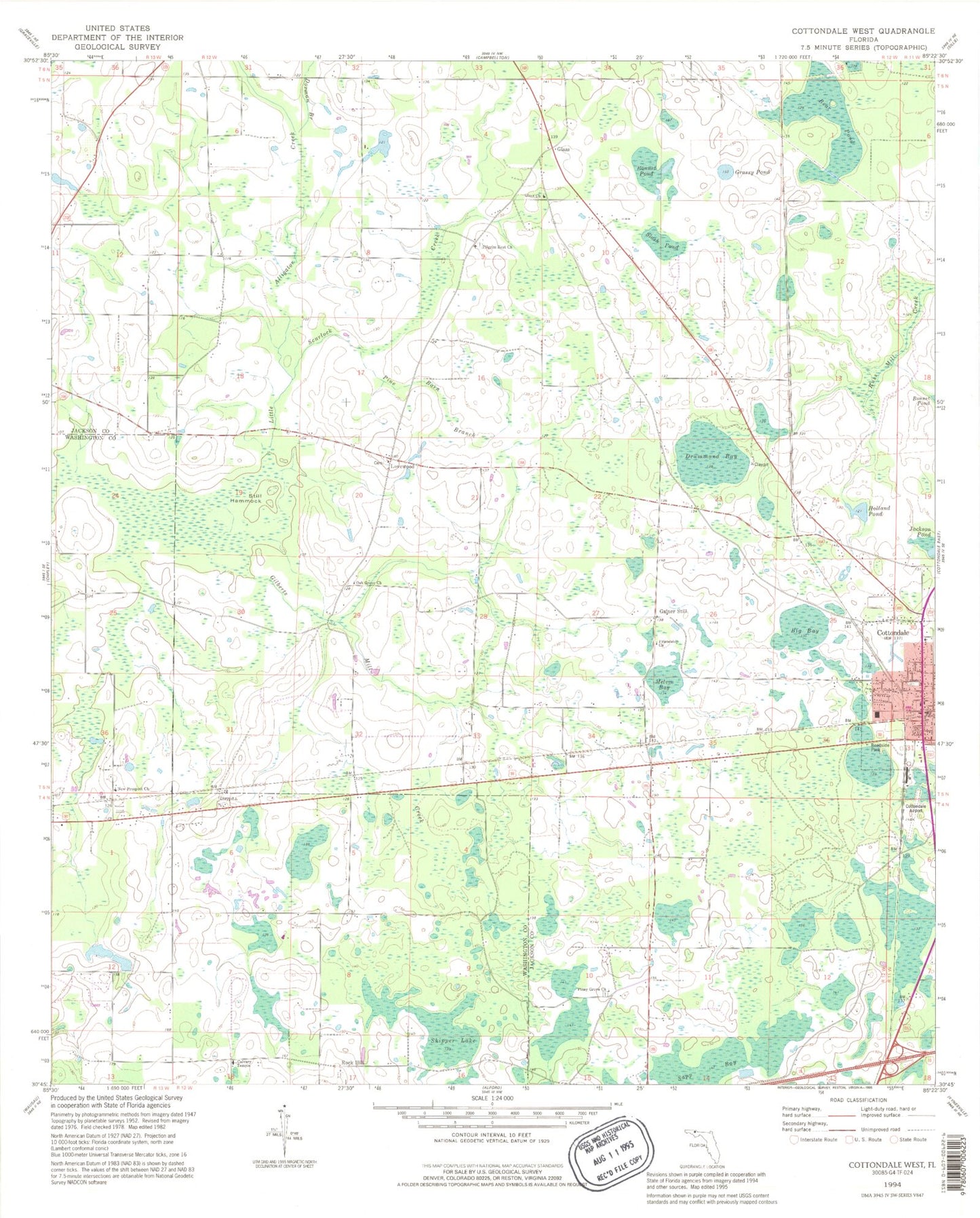
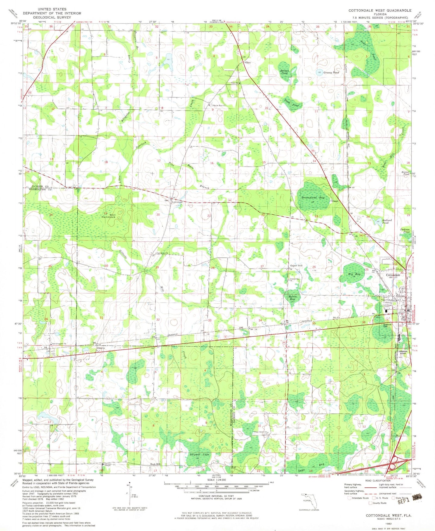
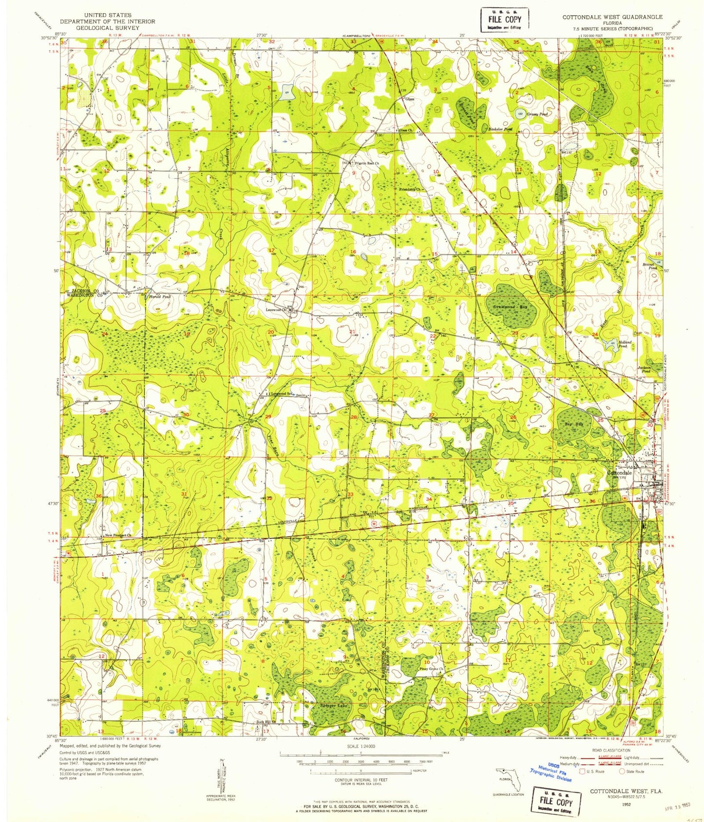
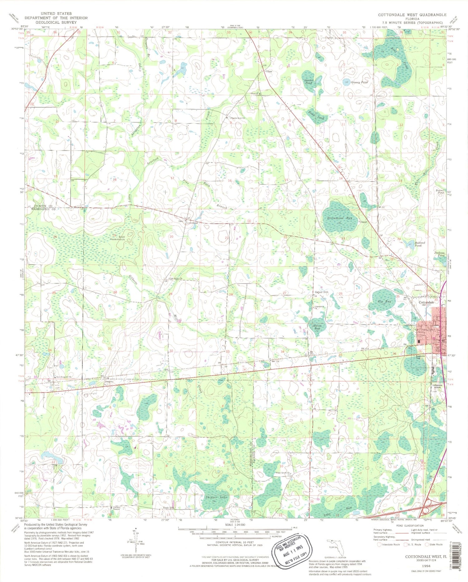
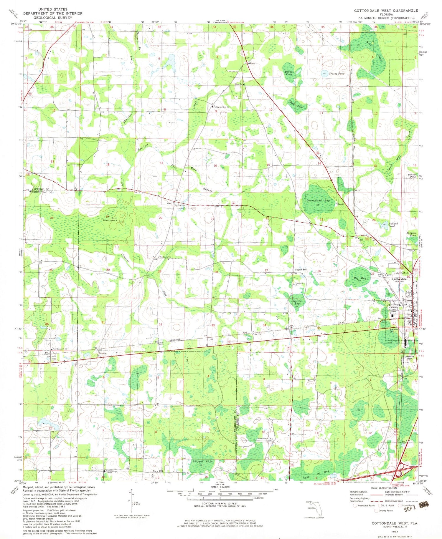
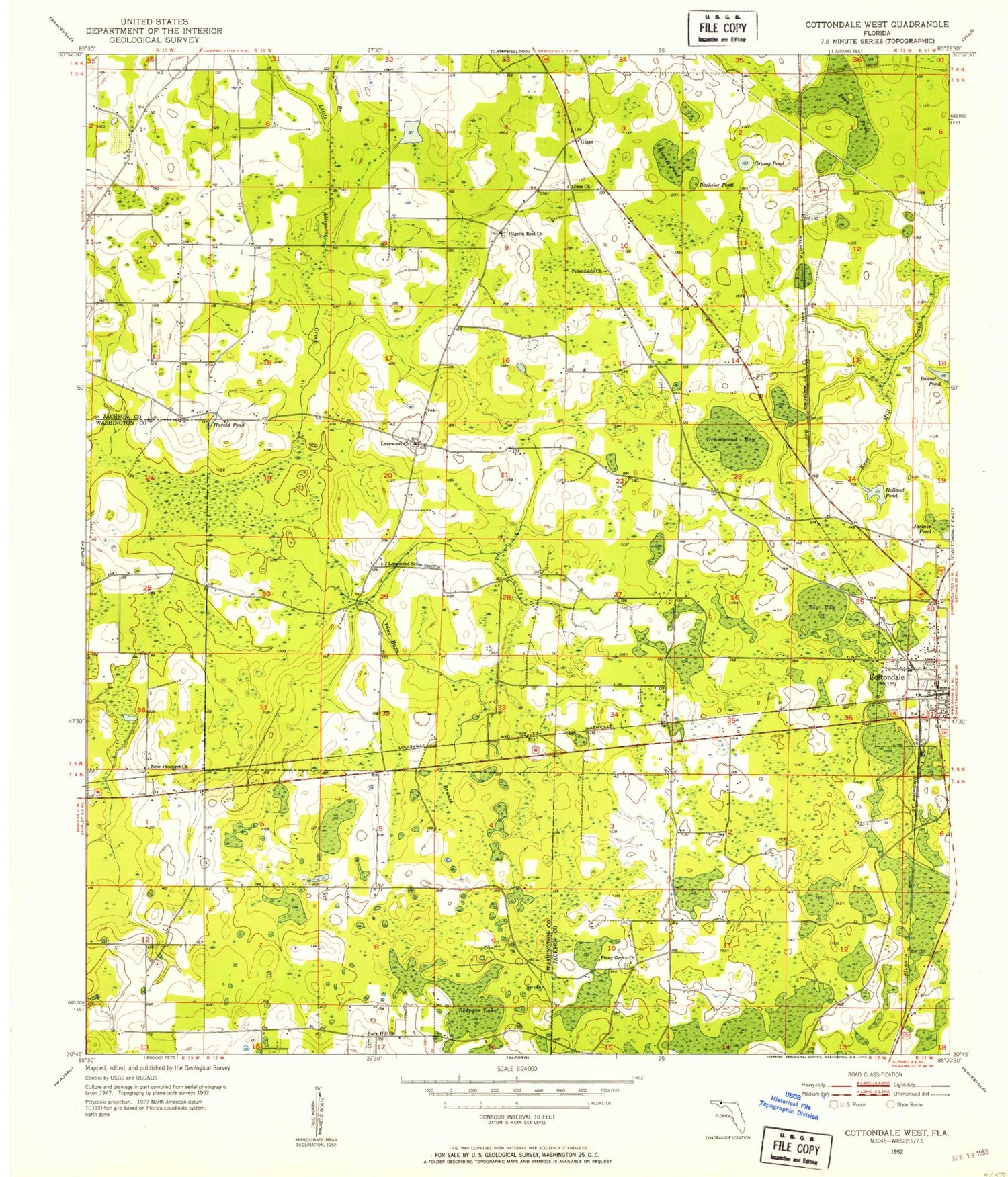
Classic USGS Cottondale West Florida 7.5'x7.5' Topo Map
Couldn't load pickup availability
Historical USGS topographic quad map of Cottondale West in the state of Florida. Map scale may vary for some years, but is generally around 1:24,000. Print size is approximately 24" x 27"
This quadrangle is in the following counties: Jackson, Washington.
The map contains contour lines, roads, rivers, towns, and lakes. Printed on high-quality waterproof paper with UV fade-resistant inks, and shipped rolled.
Contains the following named places: Bachelor Pond, Bear Pond, Big Bay, Big Bay Pond, Bonnet Pond, Cottondale, Cottondale Airport, Cottondale Division, Cottondale Police Department, Cottondale Post Office, Cottondale Volunteer Fire Department, Dorman Branch, Drummond Bay, Friendship Church, G W Sewell Pond, Gilberts Mill Creek, Glass, Glass Church, Grassy Pond, Harold Pond, Holland Bay, Holland Pond, Jackson Pond, Little Alligator Creek, Lovewood Church, Lovewood School, Melvin Bay, New Prospect Church, Pilgrim Rest Church, Piney Grove Church, Rock Hill Church, Skipper Lake, ZIP Code: 32431
