MyTopo
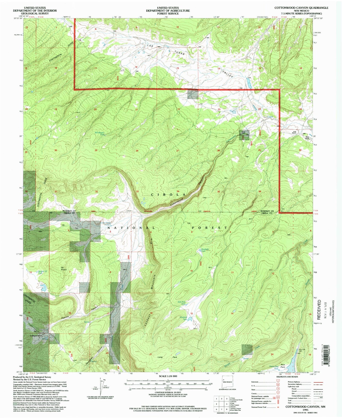
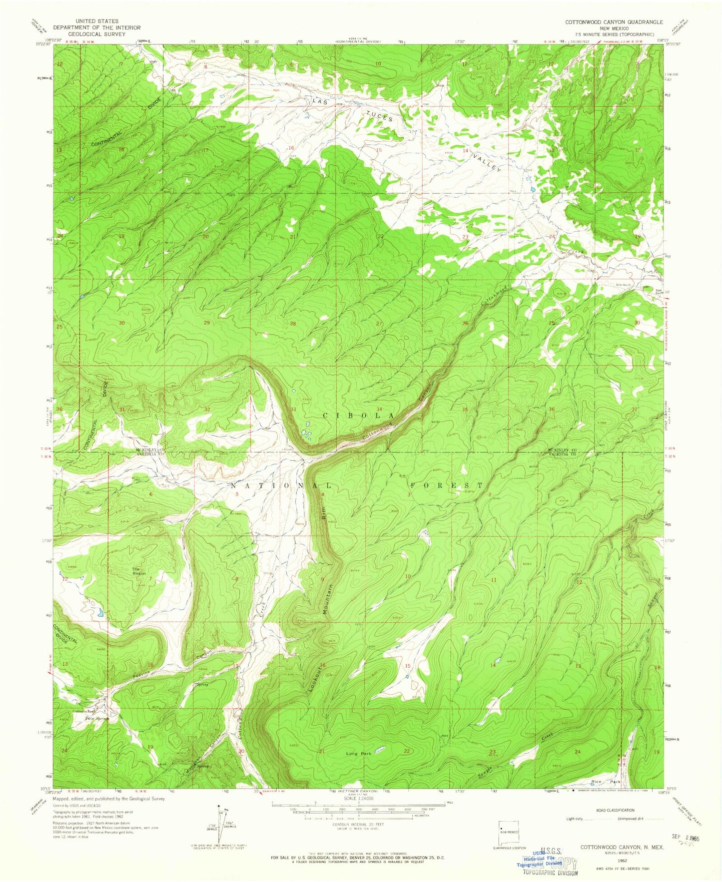
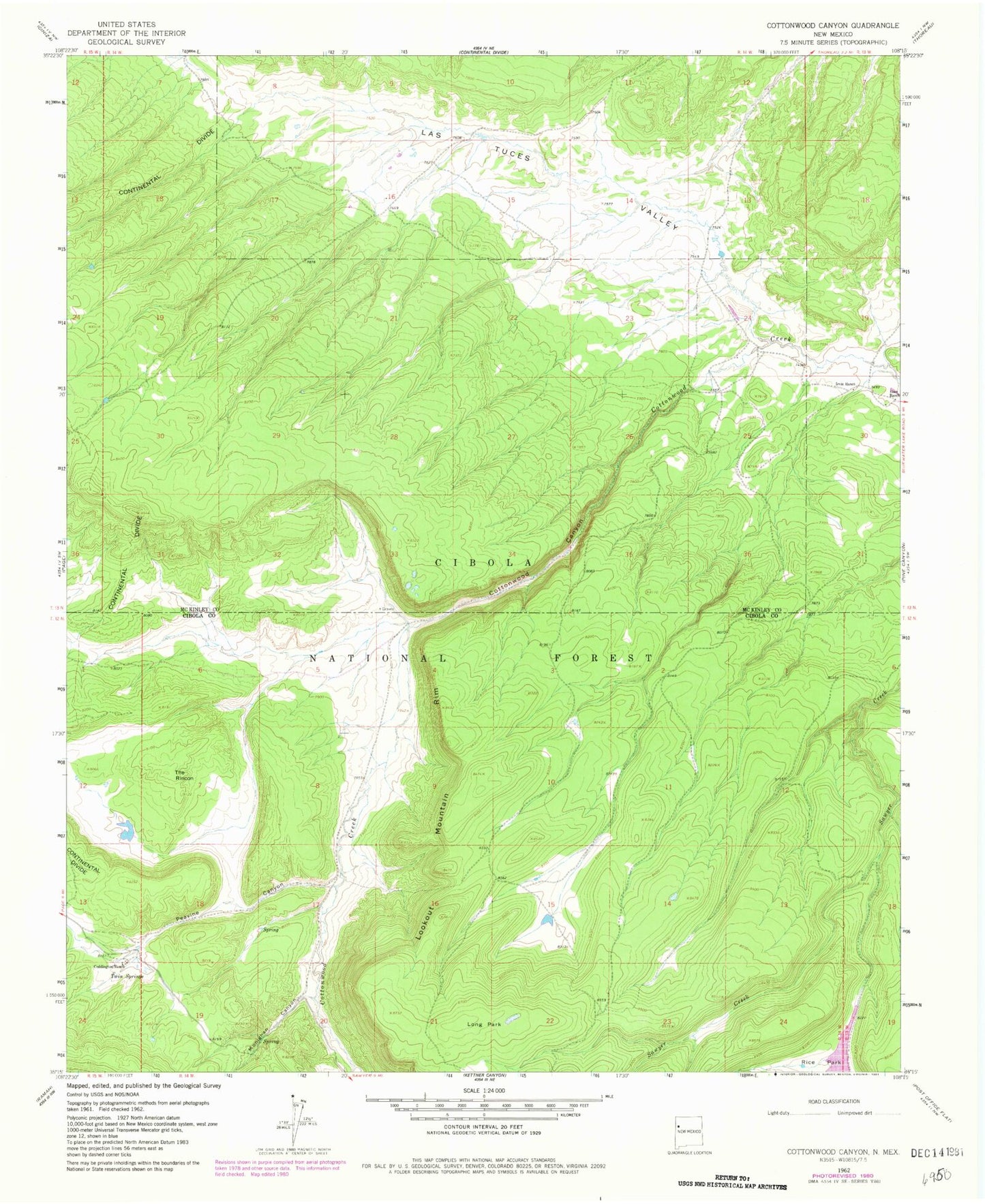
Classic USGS Cottonwood Canyon New Mexico 7.5'x7.5' Topo Map
Couldn't load pickup availability
Historical USGS topographic quad map of Cottonwood Canyon in the state of New Mexico. Typical map scale is 1:24,000, but may vary for certain years, if available. Print size: 24" x 27"
This quadrangle is in the following counties: Cibola, McKinley.
The map contains contour lines, roads, rivers, towns, and lakes. Printed on high-quality waterproof paper with UV fade-resistant inks, and shipped rolled.
Contains the following named places: Bass Ranch, Coddington Ranch, Cottonwood Canyon, Irvin Ranch, Long Park, Monighan Canyon, Peavine Canyon, The Rincon, Twin Springs, Bill Morgan Tank, Thurlow Tank, Rock Dam, Rice Park Dam, 10006 Water Well, Rock Stock Tank, Black Stock Tank, Slab Pole Tank, Windmill Tank, Prairie Dog Tank, Corral Tanks One and Two, Section Twelve, Roadside Tank, Bass Ranch, Coddington Ranch, Cottonwood Canyon, Irvin Ranch, Long Park, Monighan Canyon, Peavine Canyon, The Rincon, Twin Springs, Bill Morgan Tank, Thurlow Tank, Rock Dam, Rice Park Dam, 10006 Water Well, Rock Stock Tank, Black Stock Tank, Slab Pole Tank, Windmill Tank, Prairie Dog Tank, Corral Tanks One and Two, Section Twelve, Roadside Tank


