MyTopo
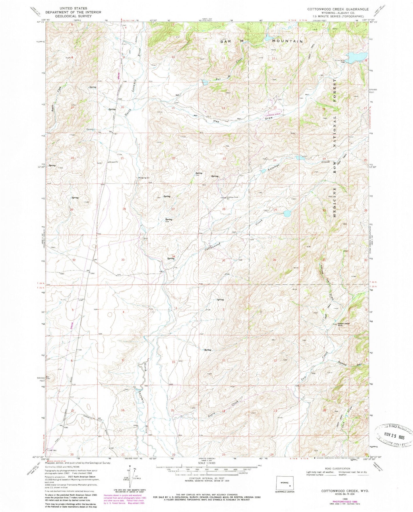
Classic USGS Cottonwood Creek Wyoming 7.5'x7.5' Topo Map
Couldn't load pickup availability
Historical USGS topographic quad map of Cottonwood Creek in the state of Wyoming. Map scale may vary for some years, but is generally around 1:24,000. Print size is approximately 24" x 27"
This quadrangle is in the following counties: Albany.
The map contains contour lines, roads, rivers, towns, and lakes. Printed on high-quality waterproof paper with UV fade-resistant inks, and shipped rolled.
Contains the following named places: Antelope Creek, Antelope Creek School, Bar M Creek, Bar M Number 1 Dam, Bar M Number 1 Reservoir, Bar M Number 2 Reservoir, Bar M Number 3 Dam, Bar M Number 3 Reservoir, Bridge Draw, Buckland Draw, Cottonwood Creek, Harvey Trail Draw, Hay Draw, Indian Head Rock, Joe Ditch, Negro Creek, Newell Dam, Newell Reservoir