
MyTopo
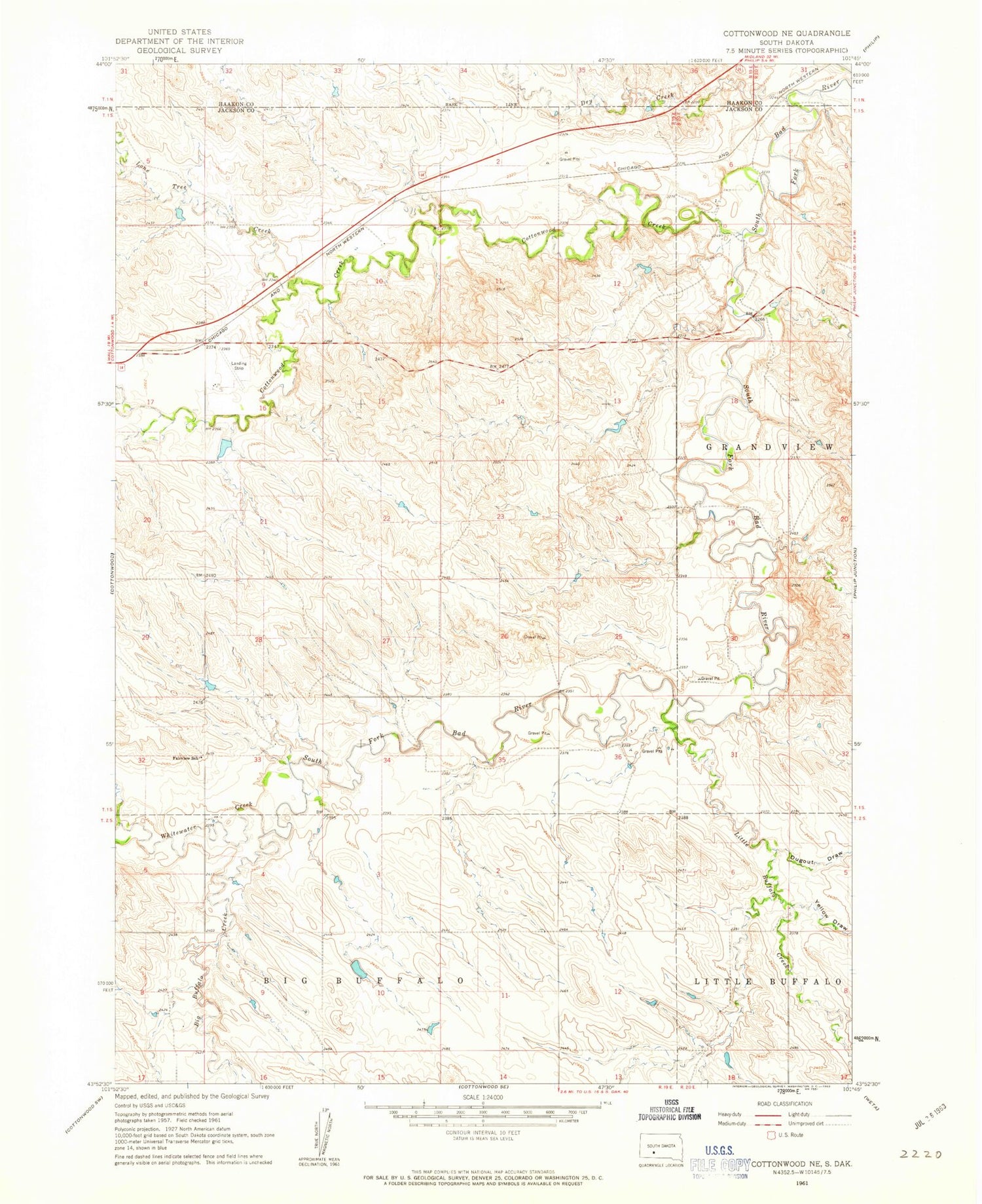
Classic USGS Cottonwood NE South Dakota 7.5'x7.5' Topo Map
Couldn't load pickup availability
Historical USGS topographic quad map of Cottonwood NE in the state of South Dakota. Map scale may vary for some years, but is generally around 1:24,000. Print size is approximately 24" x 27"
This quadrangle is in the following counties: Haakon, Jackson.
The map contains contour lines, roads, rivers, towns, and lakes. Printed on high-quality waterproof paper with UV fade-resistant inks, and shipped rolled.
Contains the following named places: Big Buffalo Creek, Cottonwood Creek, Cottonwood Field Station Dam, Dry Creek, Dugout Draw, Fairview School, Ferdig Number 1 Dam, Jackrabbit Draw, Little Buffalo Creek, Lone Tree Creek, South Dakota Range Experiment Station, Township of Riverside, Whitewater Creek, Yellow Draw


