MyTopo
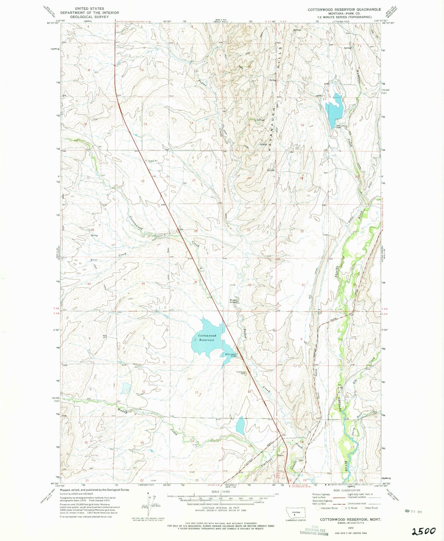
Classic USGS Cottonwood Reservoir Montana 7.5'x7.5' Topo Map
Couldn't load pickup availability
Historical USGS topographic quad map of Cottonwood Reservoir in the state of Montana. Map scale may vary for some years, but is generally around 1:24,000. Print size is approximately 24" x 27"
This quadrangle is in the following counties: Park.
The map contains contour lines, roads, rivers, towns, and lakes. Printed on high-quality waterproof paper with UV fade-resistant inks, and shipped rolled.
Contains the following named places: 03N08E04A___01 Well, 03N08E10C___01 Well, 03N09E07B___01 Well, 03N09E08C___01 Well, 03N09E08D___01 Well, 04N08E09A___01 Well, 04N08E27A___01 Well, 04N09E31B___01 Well, 04N09E32C___01 Well, Antelope Creek, Big Canal, Cottonwood Creek, Cottonwood Dam, Cottonwood Reservoir, Daisy Dean Creek, Elk Creek, Jordan Dam, Kaiser Dam, Kavanaugh Hills, Landers Number 1 Dam, Meyersburg, Meyersburg Post Office, Muddy Creek, Myers Ditch, Potter Creek, Rice Creek, Sheilds Canyon, Wilsall Airport