MyTopo
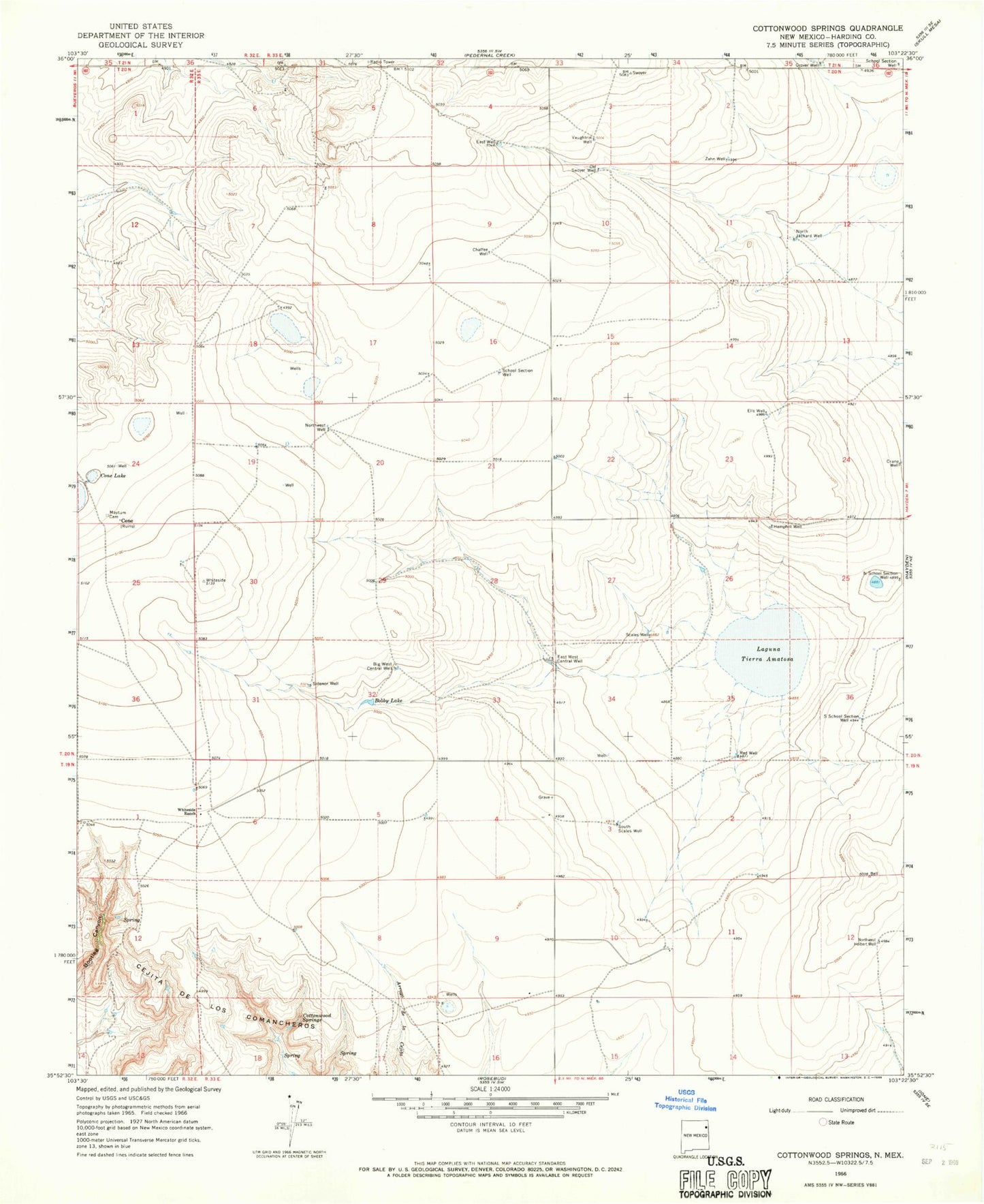
Classic USGS Cottonwood Springs New Mexico 7.5'x7.5' Topo Map
Couldn't load pickup availability
Historical USGS topographic quad map of Cottonwood Springs in the state of New Mexico. Map scale may vary for some years, but is generally around 1:24,000. Print size is approximately 24" x 27"
This quadrangle is in the following counties: Harding, Union.
The map contains contour lines, roads, rivers, towns, and lakes. Printed on high-quality waterproof paper with UV fade-resistant inks, and shipped rolled.
Contains the following named places: Adee, Amoco Number One State E N, Big West Central Well, Bobby Lake, Chaffee Well, Cone, Cone Lake, Cottonwood Springs, Crane Well, East Well, East West Central Well, Ells Well, Grover Well, Hemphill Well, Laguna Tierra Amatosa, Maytum Cemetery, Mosier Well, North Jackard Well, North School Section Well, Northwest Holbert Well, Northwest Well, Old Swoyer Well, Red Well, Scales Well, School Section Well, Sidenor Well, South Scales Well, South School Section Well, Tompkins, Vaughtrin Well, Whiteside Ranch, Zahn Well