MyTopo
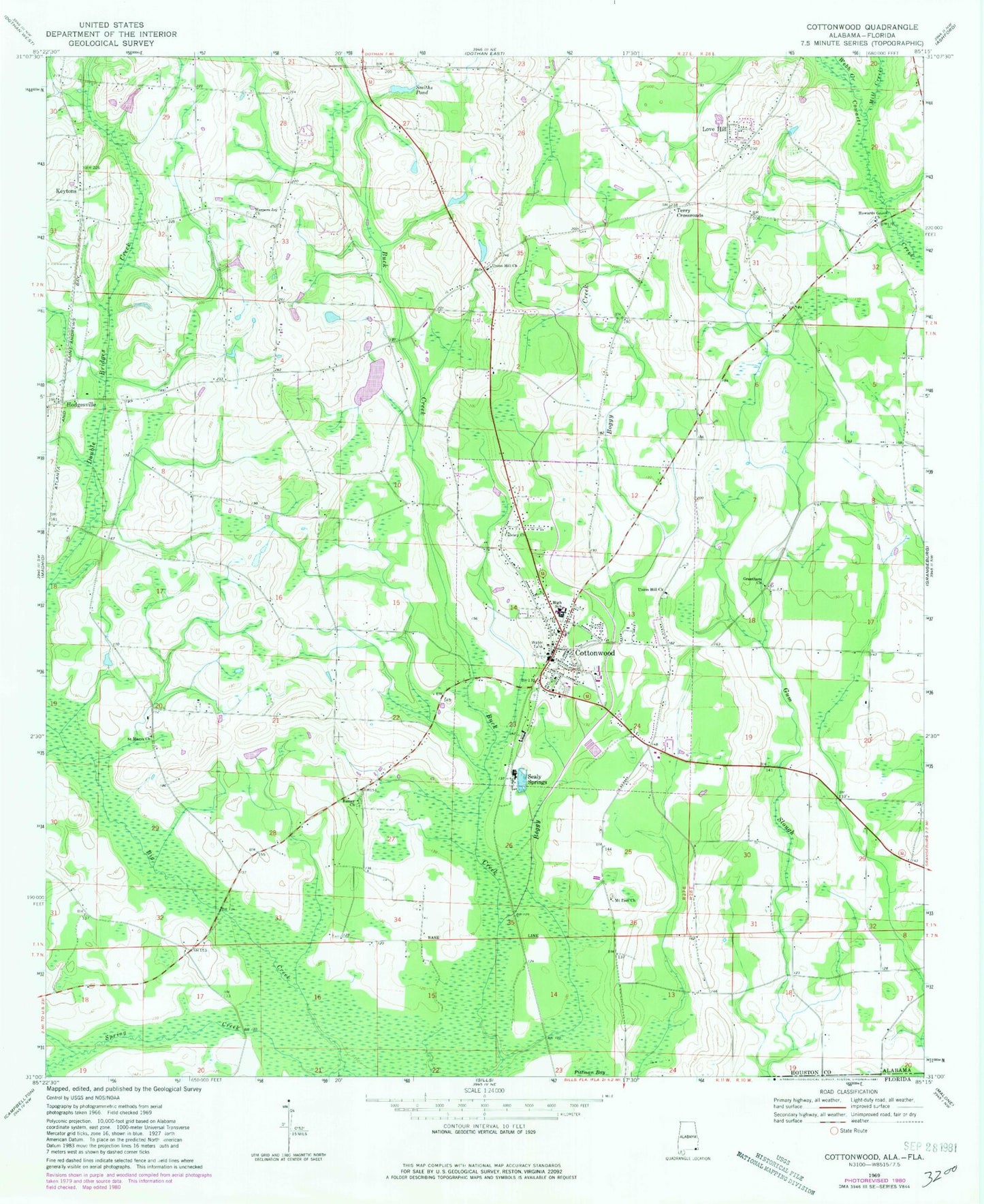
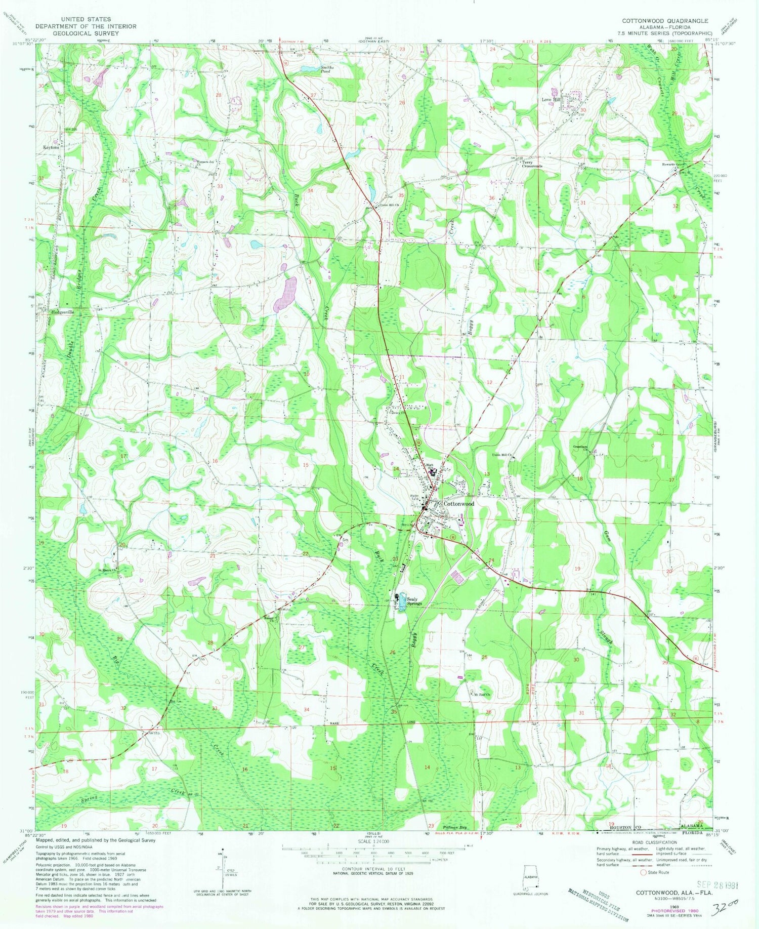
Classic USGS Cottonwood Alabama 7.5'x7.5' Topo Map
Couldn't load pickup availability
Historical USGS topographic quad map of Cottonwood in the state of Alabama. Map scale may vary for some years, but is generally around 1:24,000. Print size is approximately 24" x 27"
This quadrangle is in the following counties: Houston, Jackson.
The map contains contour lines, roads, rivers, towns, and lakes. Printed on high-quality waterproof paper with UV fade-resistant inks, and shipped rolled.
Contains the following named places: Barnes School, Big Creek, Blueberry Hill Airport, Boggy Creek, Calvary Church, Cottonwood, Cottonwood Division, Cottonwood First Baptist Church, Cottonwood High School, Cottonwood Police Department, Cottonwood Post Office, Cottonwood Volunteer Fire Department, Gerald Crowley Lake and Dam, Grantham Church, Greater Zion Baptist Church, Harpers Joy Church, Hicks Field, Hodgesville, Hodgesville Church, Hodgesville Volunteer Fire Department, Howards Grove Church, Jones School, Keytons, Love Hill, Love Hill Church, Lovetown Volunteer Fire Department, Mill Creek, Moulten Slough, Mount Zion Church, Pittman Bay, Ramer Church, Saint Marys Church, Sealy Springs, Smiths Pond, Spring Creek, Terry Crossroads, Town of Cottonwood, Town of Cottonwood Sewage Lagoon, Union Hill Church, Webb Creek, ZIP Code: 36320


