MyTopo
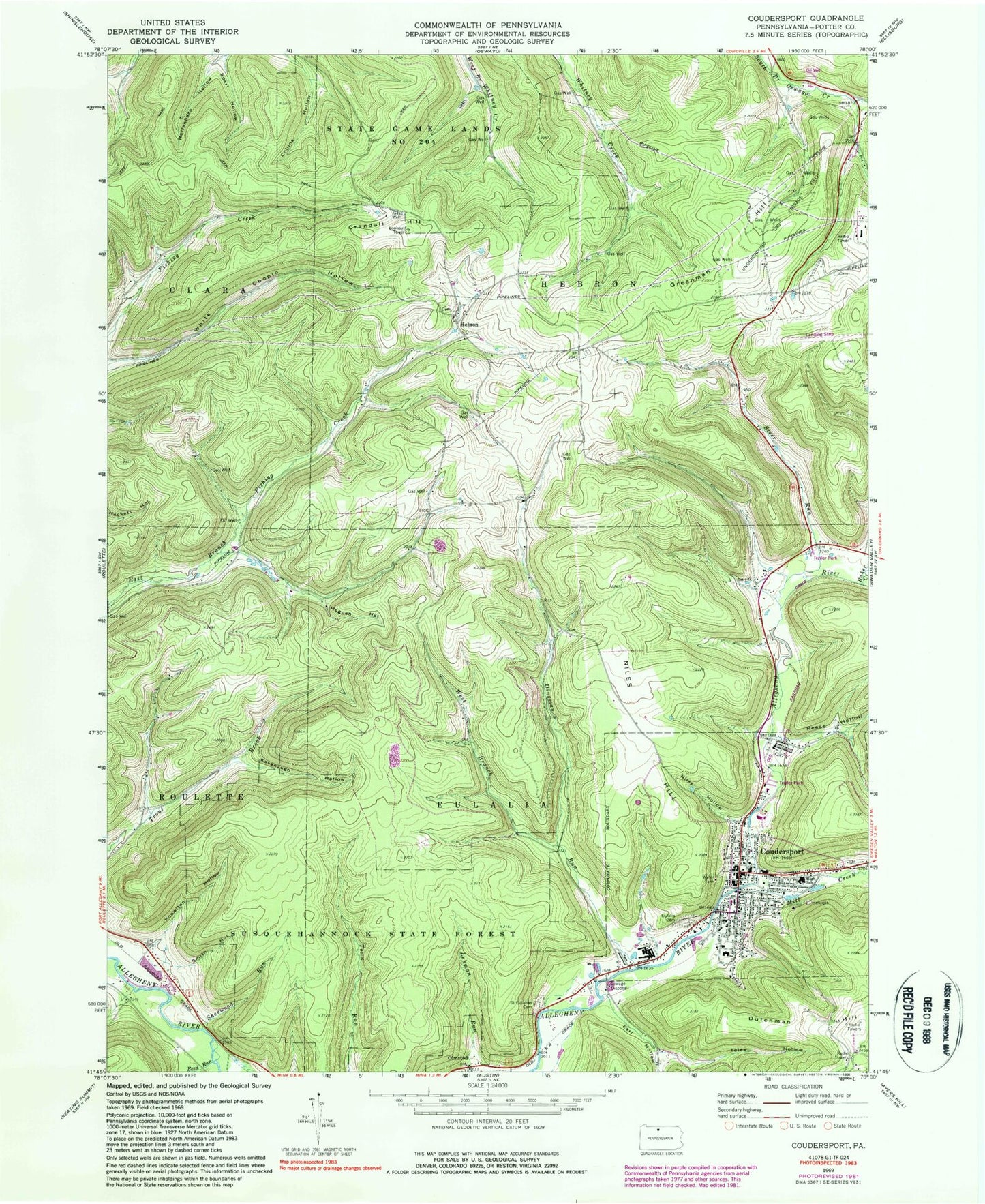
Classic USGS Coudersport Pennsylvania 7.5'x7.5' Topo Map
Couldn't load pickup availability
Historical USGS topographic quad map of Coudersport in the state of Pennsylvania. Typical map scale is 1:24,000, but may vary for certain years, if available. Print size: 24" x 27"
This quadrangle is in the following counties: Potter.
The map contains contour lines, roads, rivers, towns, and lakes. Printed on high-quality waterproof paper with UV fade-resistant inks, and shipped rolled.
Contains the following named places: Baker Creek, Coudersport, Crandal Hill, Dingman Run, Dutchman Hill, Earl Hollow, Eulalia Cemetery, Hogpen Hollow, Kavanaugh Hollow, Knowlton Hollow, Mill Creek, Niles Hollow, Reed Run, Reese Hollow, Saint Eulalias Cemetery, Sherwood Run, Smith Hollow, Sperl Hollow, Steer Run, Toles Hollow, West Branch Dingman Run, White Chopin Hollow, Greenman Hill, Niles Hill, WFRM-AM (Coudersport), Negro Hill, Hebron, Olmsted, Dingman Run School, Lamont, State Game Lands Number 204, Coudersport Area Elementary School, Coudersport Area Junior Senior High School, Greenman Hill School (historical), Coudersport Court House Historic Site (historical), Coudersport and Port Allegheny Railroad Historic Site (historical), Mountain Springs Heliport, Borough of Coudersport, Township of Clara, Township of Eulalia, Township of Hebron, Coudersport Volunteer Fire Department Station 48, Coudersport Volunteer Ambulance Association, Coudersport Post Office, Coudersport Borough Police Department, Potter County Sheriff's Office


