MyTopo
Classic USGS Cougar Washington 7.5'x7.5' Topo Map
Couldn't load pickup availability
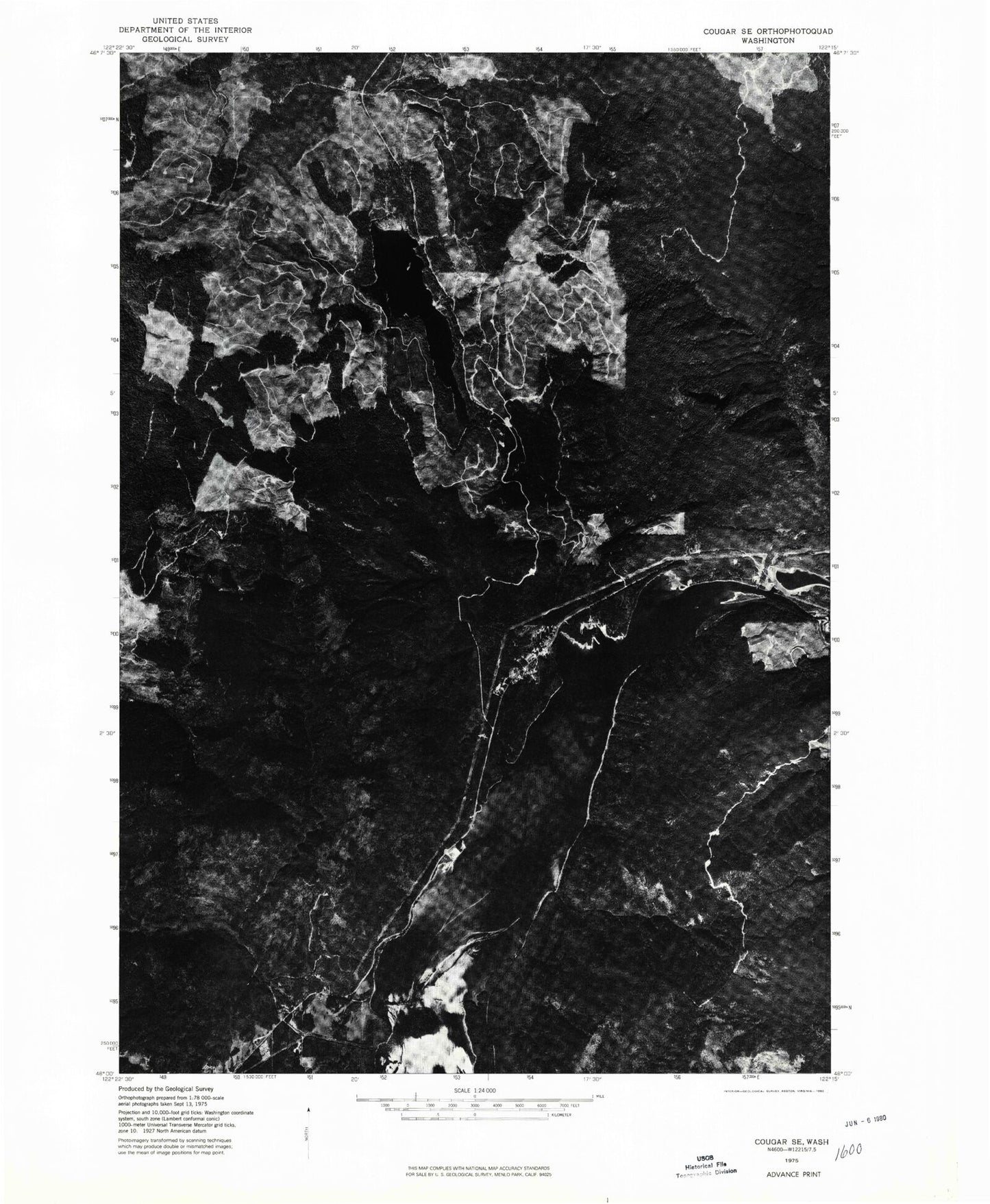
Historical USGS topographic quad map of Cougar in the state of Washington. Map scale may vary for some years, but is generally around 1:24,000. Print size is approximately 24" x 27"
This quadrangle is in the following counties: Clark, Cowlitz.
The map contains contour lines, roads, rivers, towns, and lakes. Printed on high-quality waterproof paper with UV fade-resistant inks, and shipped rolled.
Contains the following named places: Beaver Bay Campground, Beaver Bay Park, Christmas Canyon, Cinnamon Peak, Cooney Point, Cougar, Cougar Camp, Cougar Census Designated Place, Cougar Creek, Cougar Heliport, Cougar Park, Cougar Post Office, Cowlitz - Skamania Fire District 7 Station 2, Dog Creek, Dry Creek, Fossil Creek, Kalama Falls, Lost Creek, Merrill Lake, Merrill Lake Campground, Panamaker Creek, Swift Number Two Dam, The Mountain Airpark, West Fork Speelyai Creek, Yale Lake, Yale Park