MyTopo
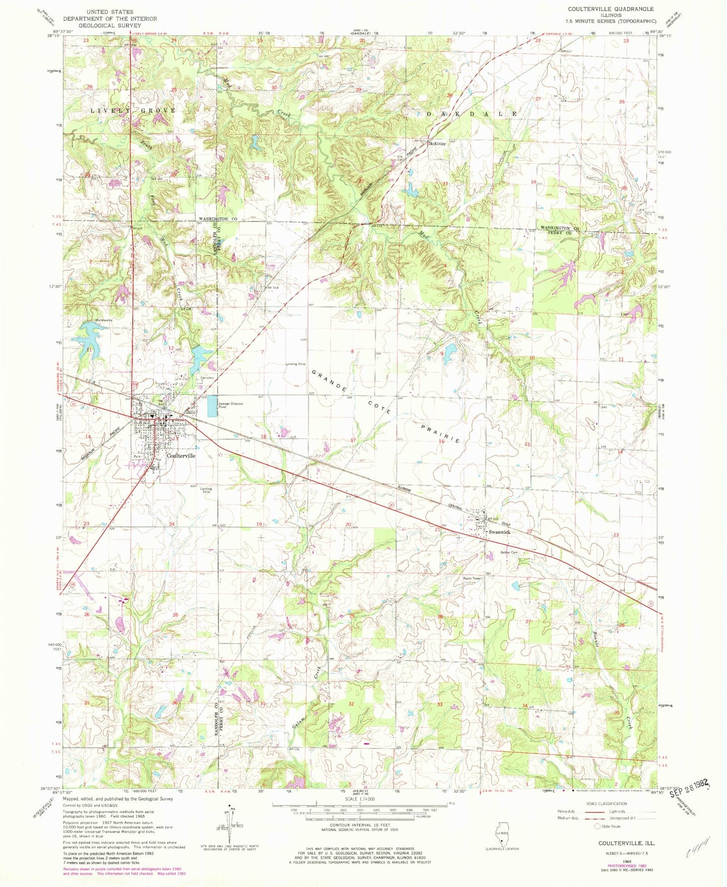
Classic USGS Coulterville Illinois 7.5'x7.5' Topo Map
Couldn't load pickup availability
Historical USGS topographic quad map of Coulterville in the state of Illinois. Map scale may vary for some years, but is generally around 1:24,000. Print size is approximately 24" x 27"
This quadrangle is in the following counties: Perry, Randolph, Washington.
The map contains contour lines, roads, rivers, towns, and lakes. Printed on high-quality waterproof paper with UV fade-resistant inks, and shipped rolled.
Contains the following named places: Acheson School, City Reservoir, City Reservoir Dam, Coulterville, Coulterville Ambulance Service, Coulterville Election Precinct, Coulterville Elementary School, Coulterville Post Office, Coulterville United Methodist Church, Coulterville Volunteer Community Fire Protection District, First Baptist Church, Foertch Pond, Foertch Pond Dam, Franklin School, Grandcote Reformed Presbyterian Church, Grande Cote Prairie, Gravel Hill School, Greenland School, Hurst Aviation Heliport, Ireland School, Lake Coulterville, Lake Coulterville Dam, McKinley, Pleasant Hill School, Swanwick, Swanwick Bethel Cemetery, Swanwick Election Precinct, Swanwick Post Office, Temple School, Village of Coulterville, West Side School, ZIP Code: 62237