MyTopo
Classic USGS Council Island Montana 7.5'x7.5' Topo Map
Regular price
$16.95
Regular price
Sale price
$16.95
Unit price
per
Couldn't load pickup availability
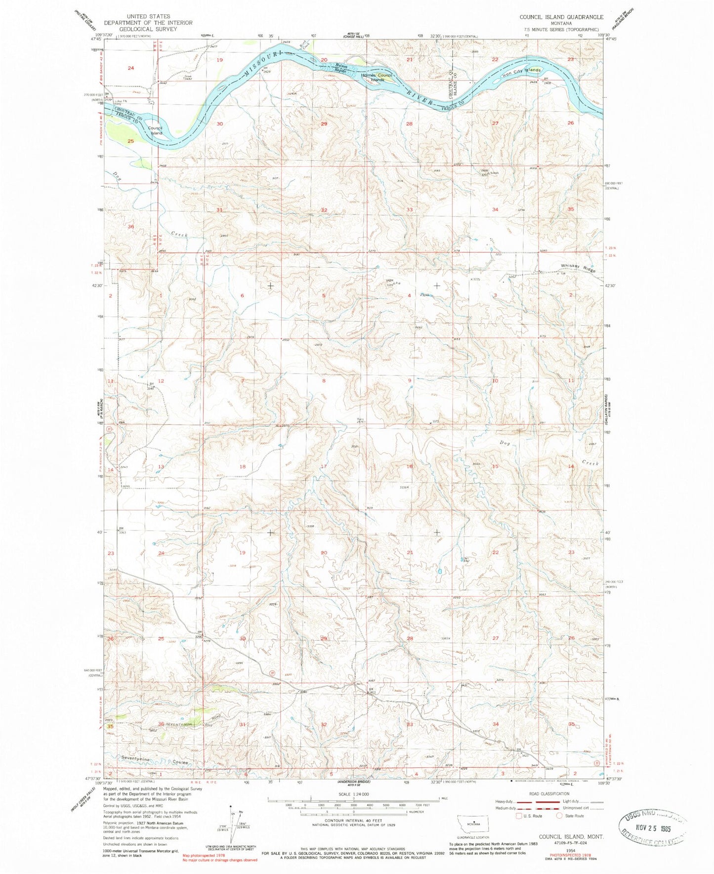
Historical USGS topographic quad map of Council Island in the state of Montana. Map scale may vary for some years, but is generally around 1:24,000. Print size is approximately 24" x 27"
This quadrangle is in the following counties: Blaine, Chouteau, Fergus.
The map contains contour lines, roads, rivers, towns, and lakes. Printed on high-quality waterproof paper with UV fade-resistant inks, and shipped rolled.
Contains the following named places: Birch Creek, Council Island, Dog Creek, Gibbons School, Holmes Council Islands, Holmes Rapids, Iron City Islands, Lohse PN Ferry, McKeevers Rapids, Winifred Bridge