MyTopo
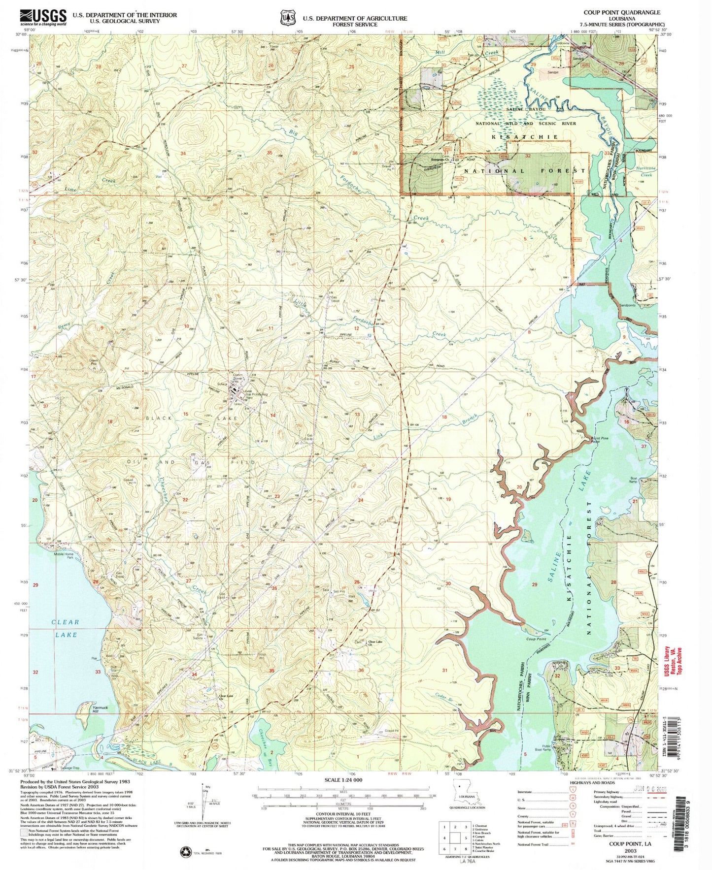
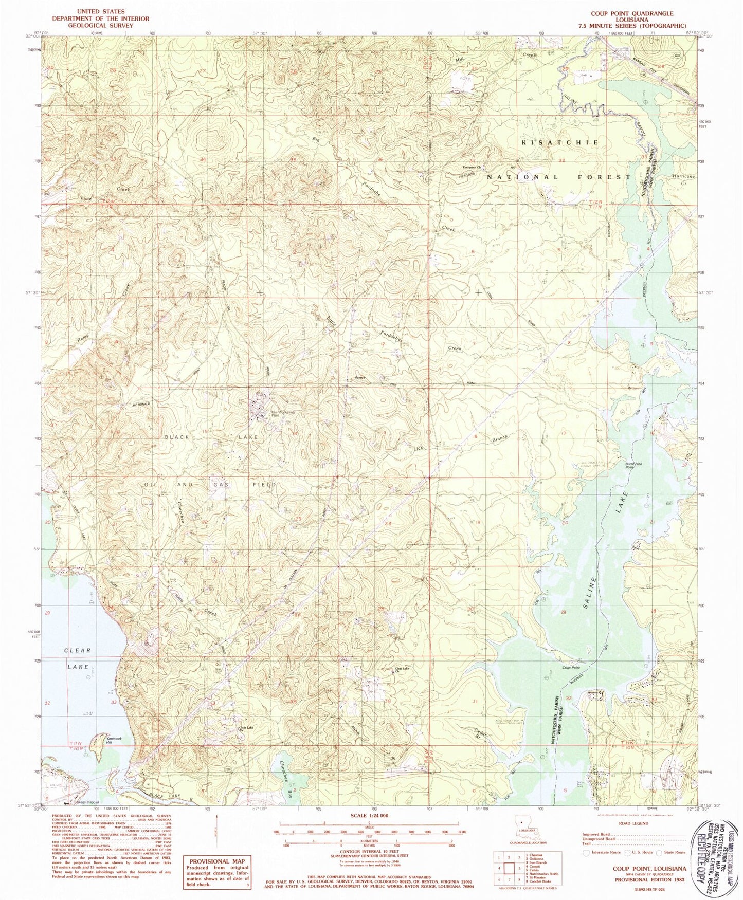
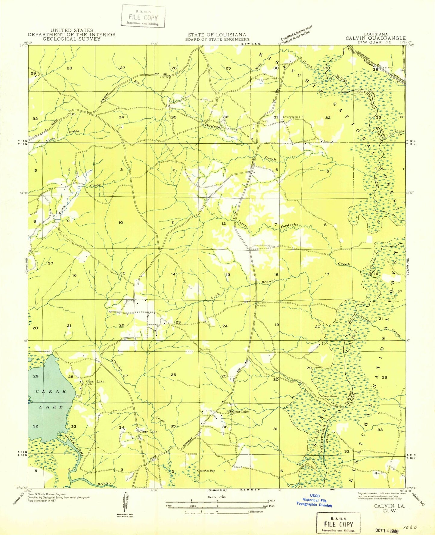
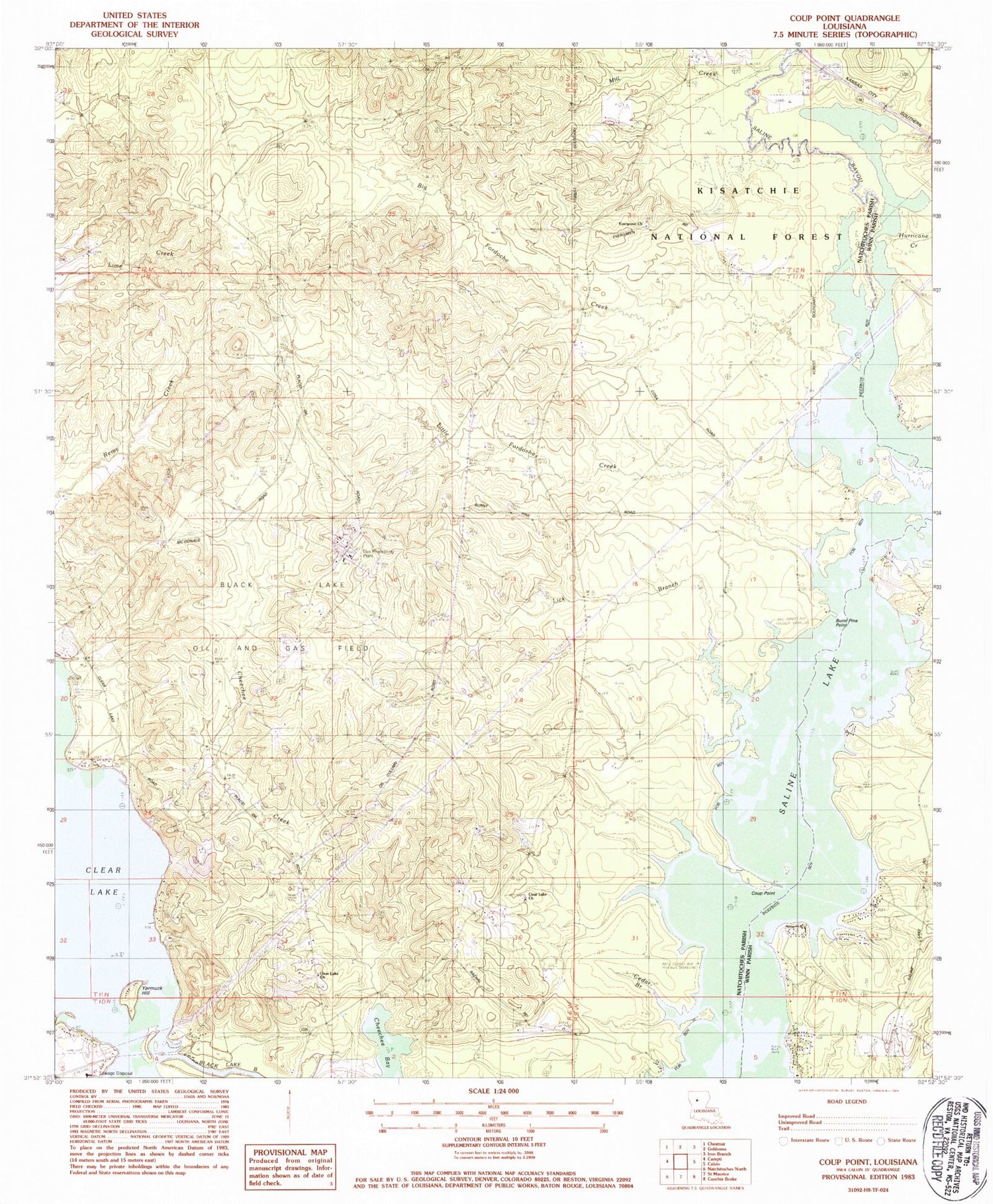
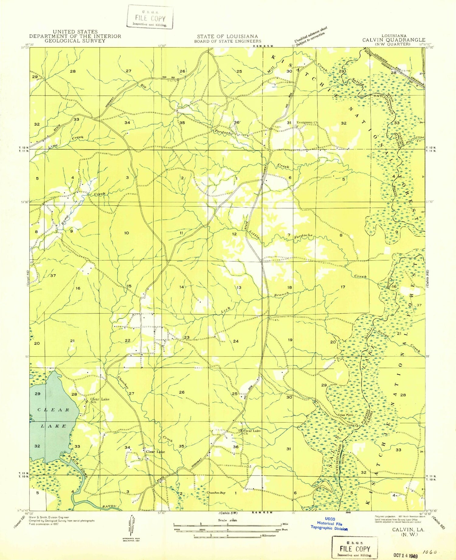
Classic USGS Coup Point Louisiana 7.5'x7.5' Topo Map
Couldn't load pickup availability
Historical USGS topographic quad map of Coup Point in the state of Louisiana. Map scale may vary for some years, but is generally around 1:24,000. Print size is approximately 24" x 27"
This quadrangle is in the following counties: Natchitoches, Winn.
The map contains contour lines, roads, rivers, towns, and lakes. Printed on high-quality waterproof paper with UV fade-resistant inks, and shipped rolled.
Contains the following named places: Big Fordoche Creek, Black Lake Oil and Gas Field, Burnt Pine Point, Cedar Branch, Cheechee Creek, Clear Lake, Clear Lake Church, Coup Point, Evergreen Church, Goldonna Lookout Tower, Hurricane Creek, Lick Branch, Little Fordoche Creek, Mill Creek, Range Creek, Saline Lake, Spring Branch, Summerseat School, Yarmuck Hill