MyTopo
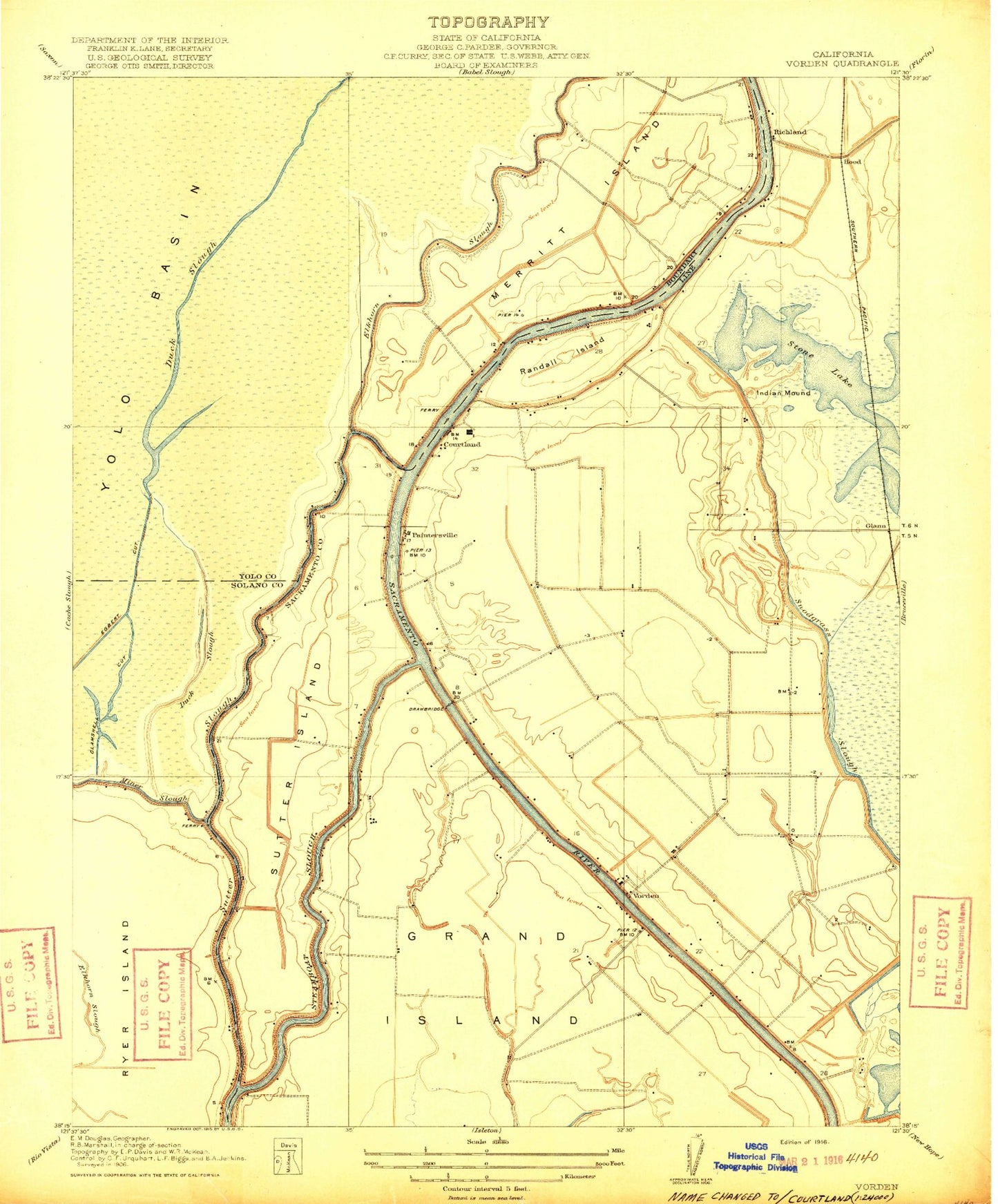
Classic USGS Courtland California 7.5'x7.5' Topo Map
Couldn't load pickup availability
Historical USGS topographic quad map of Courtland in the state of California. Map scale may vary for some years, but is generally around 1:24,000. Print size is approximately 24" x 27"
This quadrangle is in the following counties: Sacramento, Solano, Yolo.
The map contains contour lines, roads, rivers, towns, and lakes. Printed on high-quality waterproof paper with UV fade-resistant inks, and shipped rolled.
Contains the following named places: Bates Elementary School, Clamshell Cut, Coggenshall Landing, Courtland, Courtland Branch Library, Courtland Census Designated Place, Courtland Community Operated Neighborhood Library, Courtland Fire Protection District Station 91, Courtland Fire Protection District Station 92, Courtland Post Office, Danady Landing, De Back Landing, Dean Landing Number B One Hundred Twelve, Elk Slough, Elliott Landing Number B One Hundred Ten, Goldman Landing, Greendale, Greens Landing Number B One Hundred Twelve and a Half, Hemp Landing Number Ninety-Seven, Hollister Landing Number One Hundred Sixteen, Hood, Hood Census Designated Place, Hood Junction, Hood Post Office, KTXL-TV (Sacramento), KVIE-TV (Sacramento), KXJZ-FM (Sacramento), Lambert, Landing Number One Hundred Fourteen, Landing Number One Hundred Twenty Two, Locke, Locke Historic District, McCollough Landing, McFadden Landing Number One Hundred One, Merritt Island, Mokelumne Continuation High School, Morgans Landing, Morse Landing, Oxford, Paintersville, Randall, Randall Island, Reclamation District 551 Borrow Canal, River Delta Continuation High School, River Mansion, Runyon Landing, Simpson LandingNumber One Hundred Twenty, Sorroca, Steamboat Landing, Sutter Island, Sutter Slough, Talmadge Landing, The Meadows Slough, Tye-A-Lee Landing, Valdez, Vorden, Wedley Landing, ZIP Code: 95615


