MyTopo
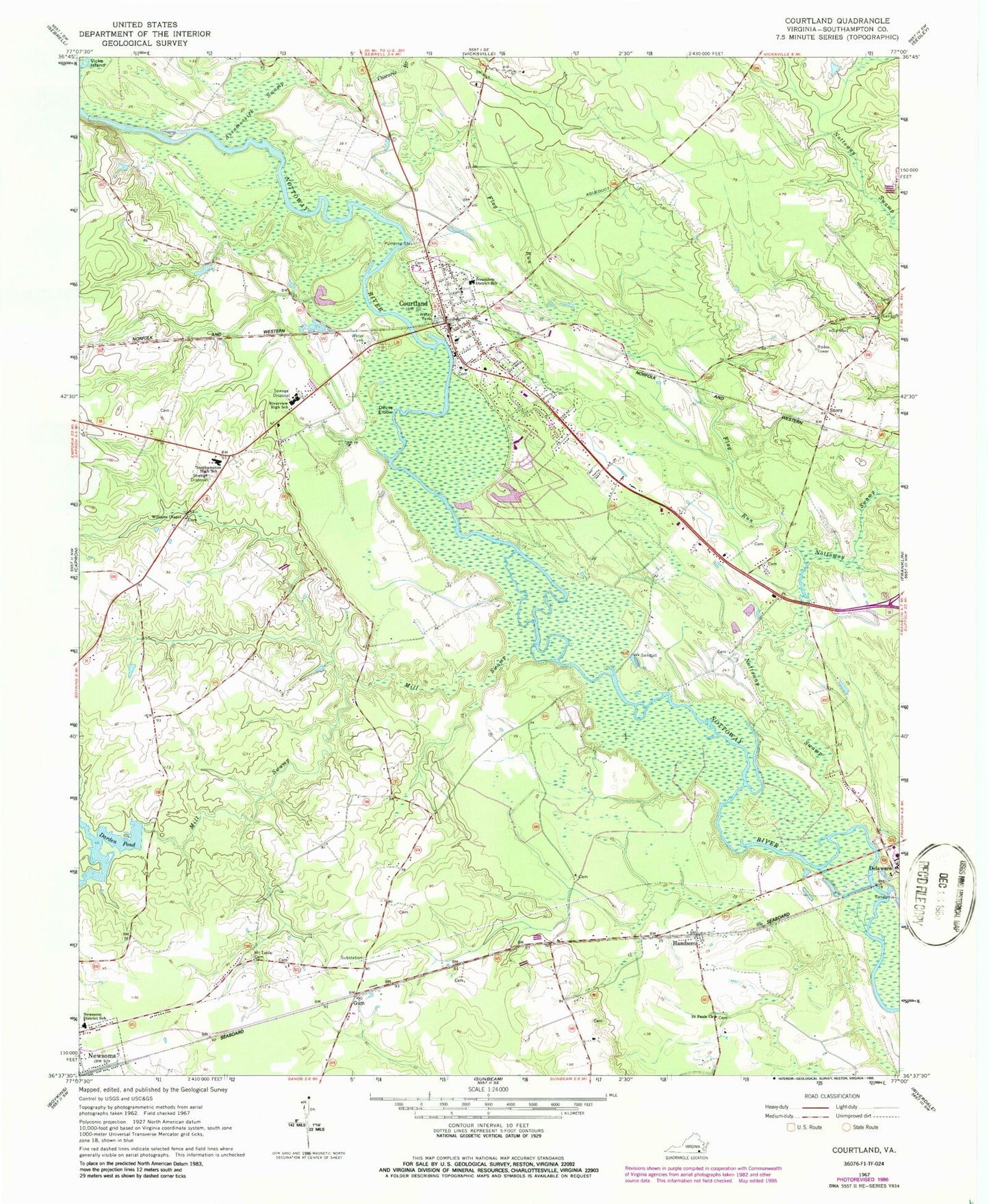
Classic USGS Courtland Virginia 7.5'x7.5' Topo Map
Couldn't load pickup availability
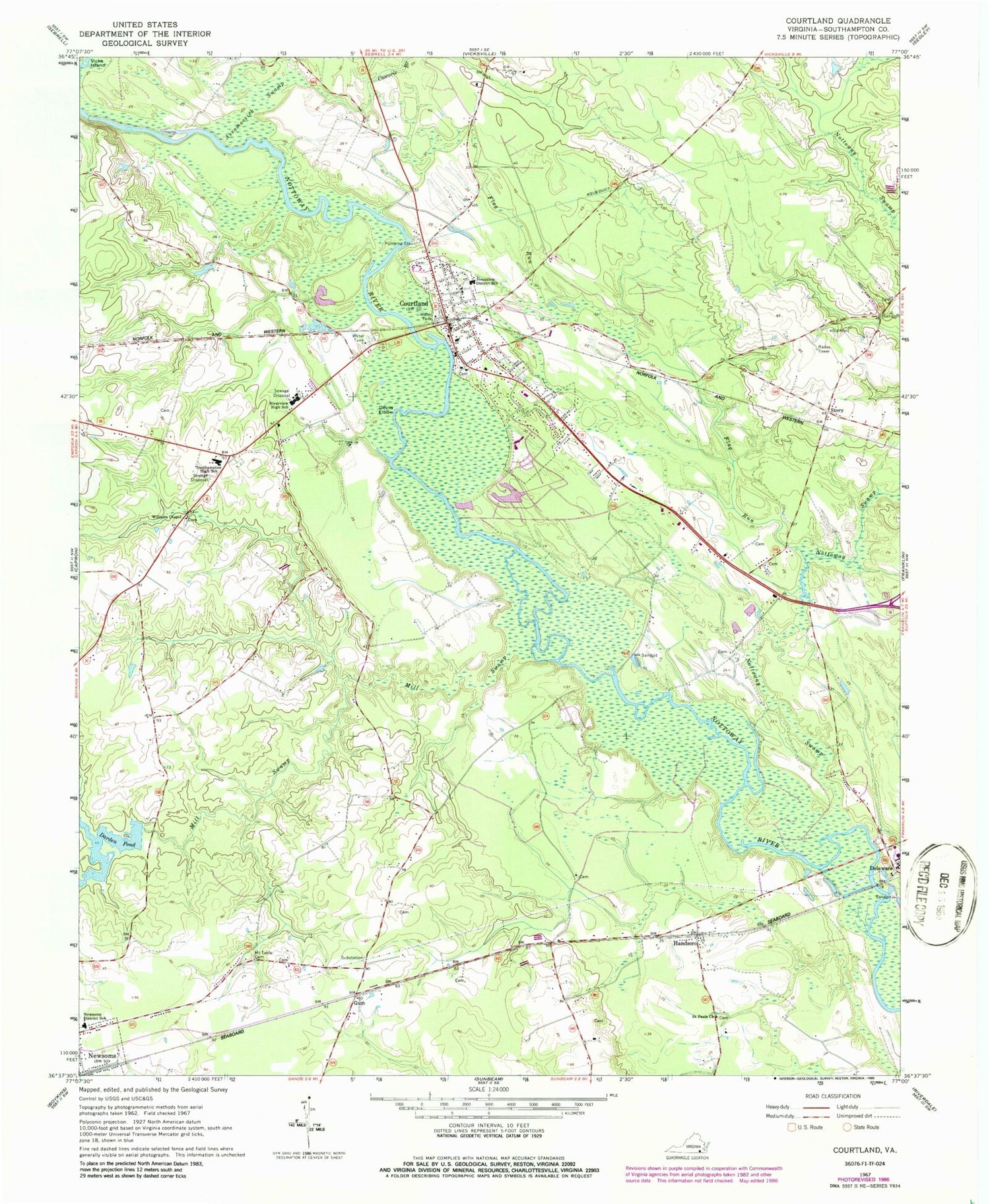
Historical USGS topographic quad map of Courtland in the state of Virginia. Typical map scale is 1:24,000, but may vary for certain years, if available. Print size: 24" x 27"
This quadrangle is in the following counties: Southampton.
The map contains contour lines, roads, rivers, towns, and lakes. Printed on high-quality waterproof paper with UV fade-resistant inks, and shipped rolled.
Contains the following named places: Assamoosick Swamp, Coscorie Branch, Darden Pond, Devils Elbow, Flag Run, Courtland Elementary School, Mill Swamp, Mount Tabor Baptist Church Cemetery, Newsoms District School, Nottoway Swamp, Riverview High School, Saint Pauls Church, Southampton High School, Story, Vicks Island, Williams Chapel, Gum, Southampton County, Dardens Dam, Delaware, Courtland, Handsom, WWWP-FM (Franklin), WLQM-FM (Franklin), Handsom Post Office, Colgate Whitehead Darden Junior Bridge, Cypress Bridge (historical), Davis School (historical), Delaware Park, Dunn Branch, Ebenezer Church (historical), Holderness Church (historical), Nottoway Church (historical), Sandy Hill School (historical), School Number 4 (historical), Tavern School (historical), Turner Branch, Whitehouse Swamp (historical), Zion Hill Church (historical), Jerusalem District, Southampton County Sheriff's Office, Courtland Volunteer Fire Department, Courtland Volunteer Rescue Squad, Courtland Volunteer Rescue Squad, Southampton County Sheriff's Office, Town of Courtland, Town of Newsoms, Southampton Middle School, Southampton Academy, Southampton Technical Career Center, Courtland Post Office, Blackwater Regional Library Walter Cecil Rawls Library, Lifestar Ambulance Service Courtland, Courtland Police Department, Newsoms Police Department


