
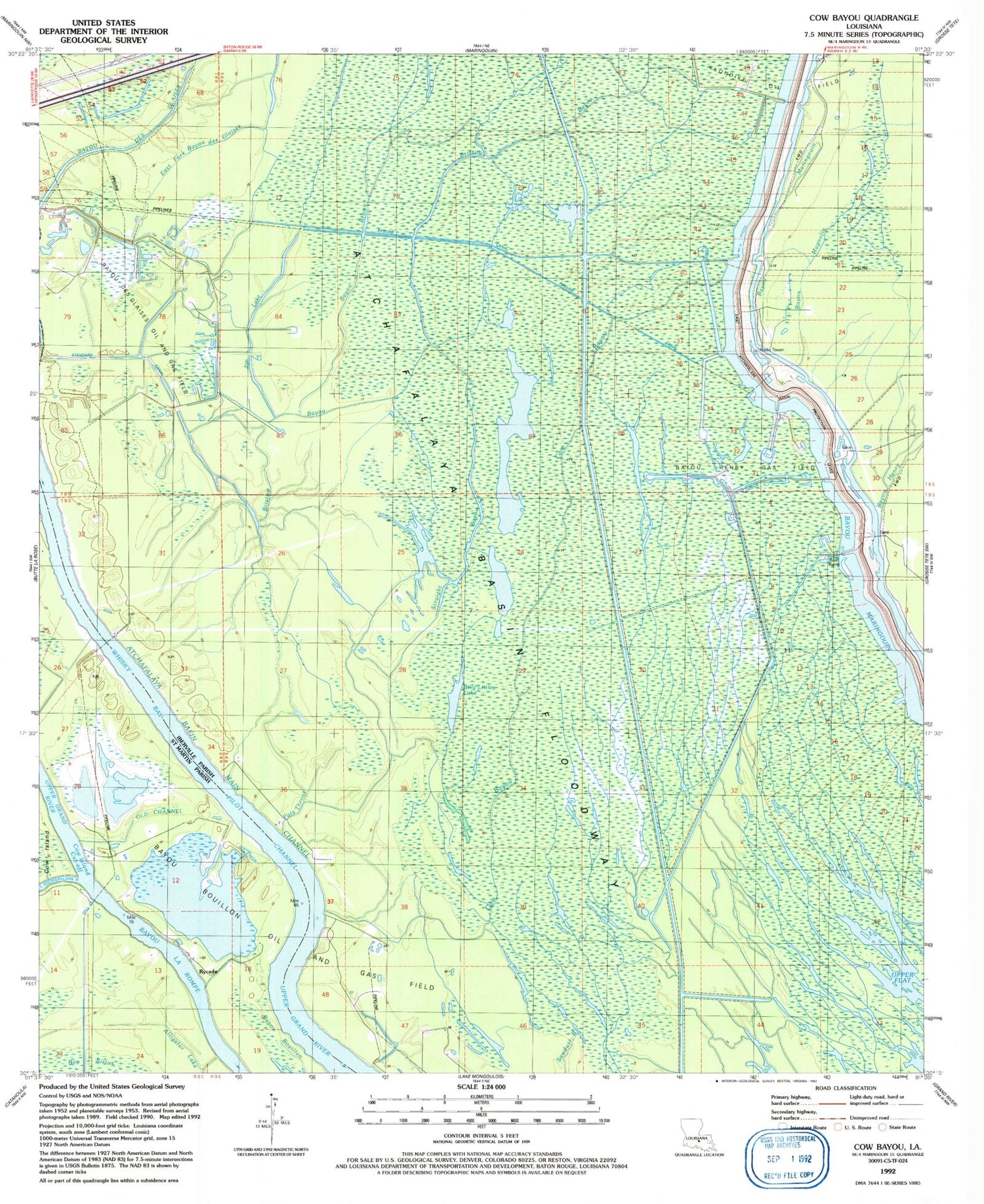
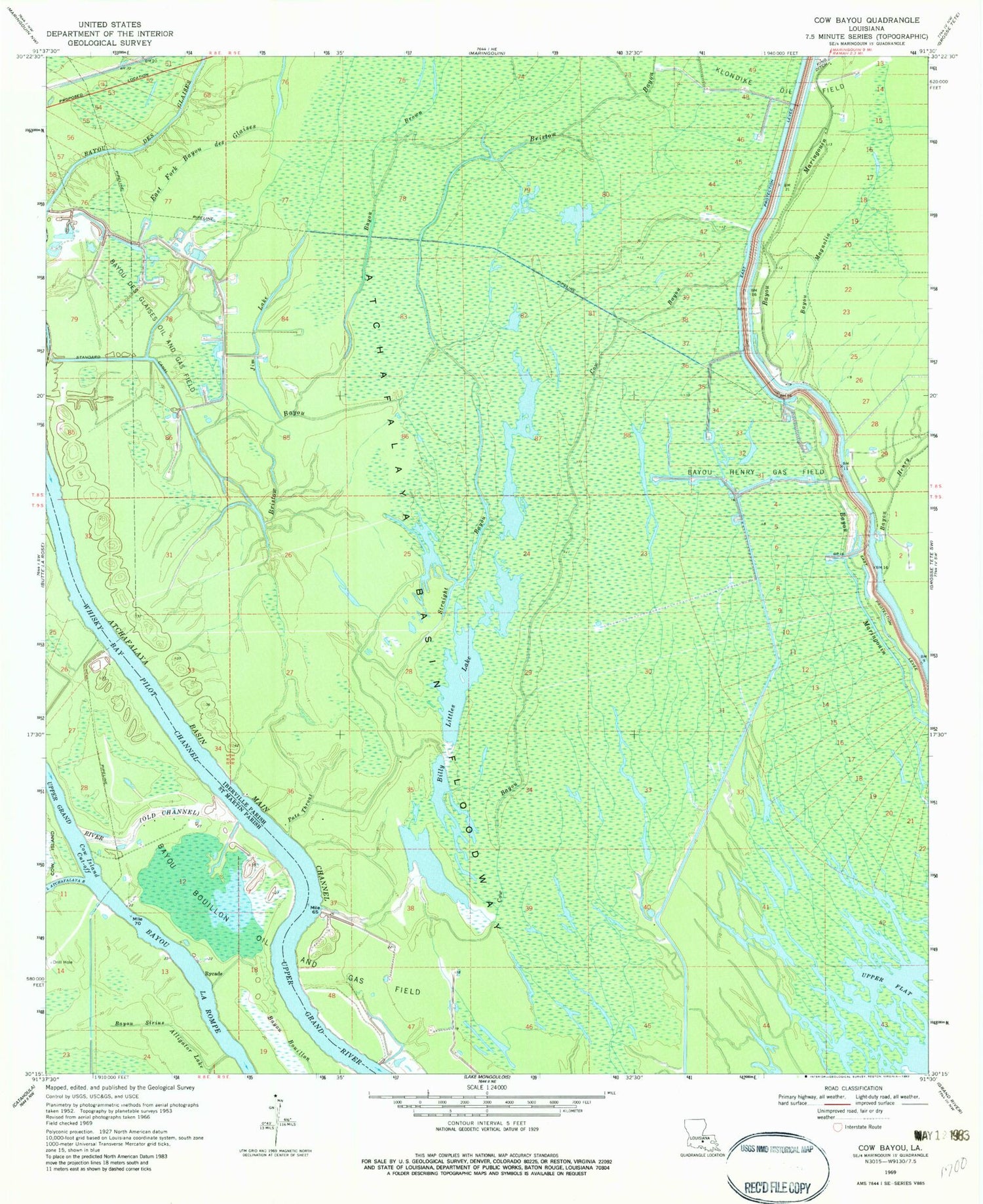
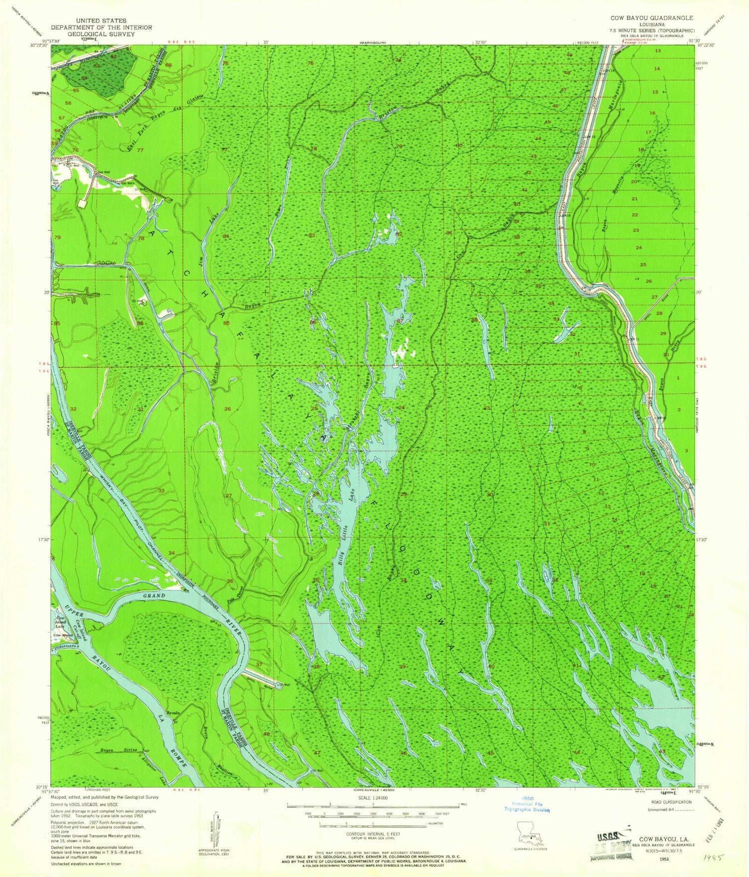
MyTopo
Classic USGS Cow Bayou Louisiana 7.5'x7.5' Topo Map
Couldn't load pickup availability
Historical USGS topographic quad map of Cow Bayou in the state of Louisiana. Map scale may vary for some years, but is generally around 1:24,000. Print size is approximately 24" x 27"
This quadrangle is in the following counties: Iberville, St. Martin.
The map contains contour lines, roads, rivers, towns, and lakes. Printed on high-quality waterproof paper with UV fade-resistant inks, and shipped rolled.
Contains the following named places: Bayou Bouillon, Bayou Brown, Bayou Des Glaises, Bayou Des Glaises Oil and Gas Field, Bayou Henry, Bayou Henry Gas Field, Bayou Magnolia, Bayou Sirius, Billy Littles Lake, Bristow Bayou, Cow Bayou, Cow Island Cut-Off, East Fork Bayou Des Glaises, Jim Lake, Klondike Oil Field, Little Atchafalaya River, Parish Governing Authority District 12, Pats Throat, Rycade, Sawdust Bayou, Standard Canal, Straight Bayou, Whiskey Bay, Whisky Bay Pilot Channel


