MyTopo
Classic USGS Cow Creek Mountain Wyoming 7.5'x7.5' Topo Map
Couldn't load pickup availability
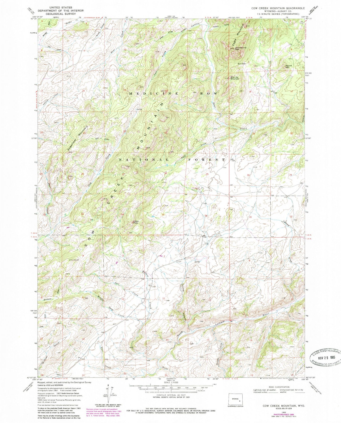
Historical USGS topographic quad map of Cow Creek Mountain in the state of Wyoming. Map scale may vary for some years, but is generally around 1:24,000. Print size is approximately 24" x 27"
This quadrangle is in the following counties: Albany.
The map contains contour lines, roads, rivers, towns, and lakes. Printed on high-quality waterproof paper with UV fade-resistant inks, and shipped rolled.
Contains the following named places: Blue Jay Mountain, Bob Garett Cow Camp, Bull Creek, Bull Gap, Burnett Cow Camp, Cow Creek Mountain, Coyote Canyon, Deer Creek, East Prong Green Canyon, Friend Creek, Green Canyon, Hidden Gulch, Indian Peak, Jack Squirrel Peak, Muddy Ford Creek, Owl Creek, Pine Creek, Pole Draw, Potato Creek, Round Mountain, Sugarloaf Mountain, Tweety Creek, West Prong Green Canyon, Willow Creek, Yankee Draw