MyTopo
Classic USGS Cow Island Louisiana 7.5'x7.5' Topo Map
Couldn't load pickup availability
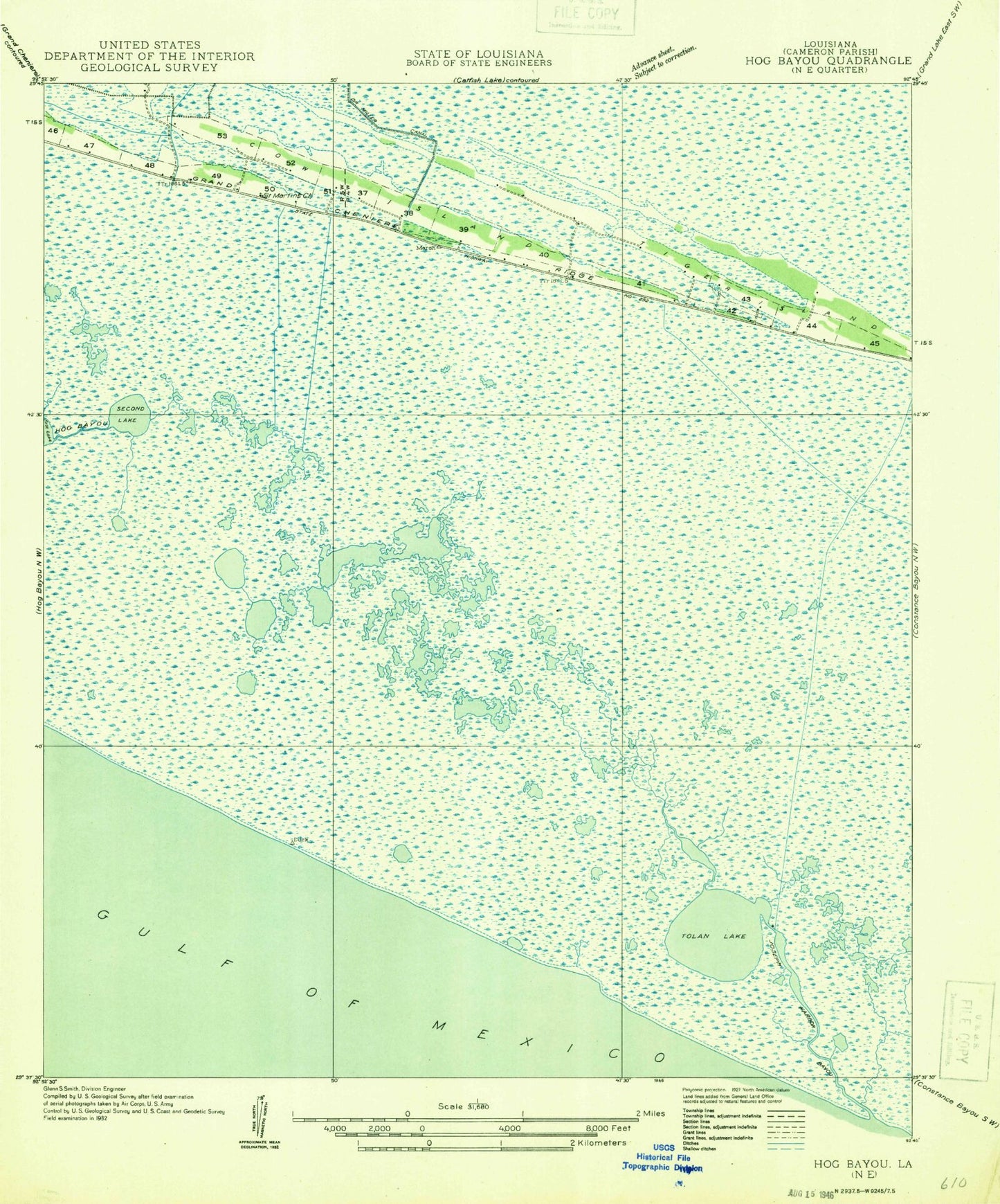
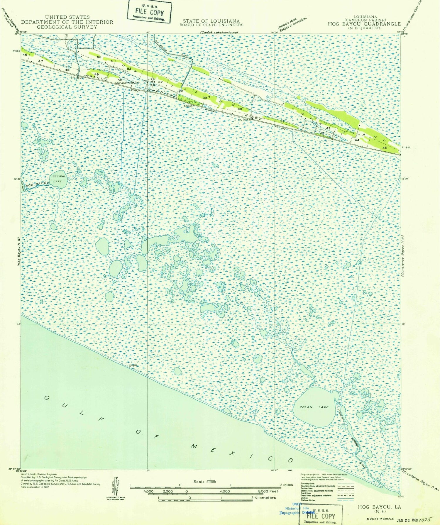
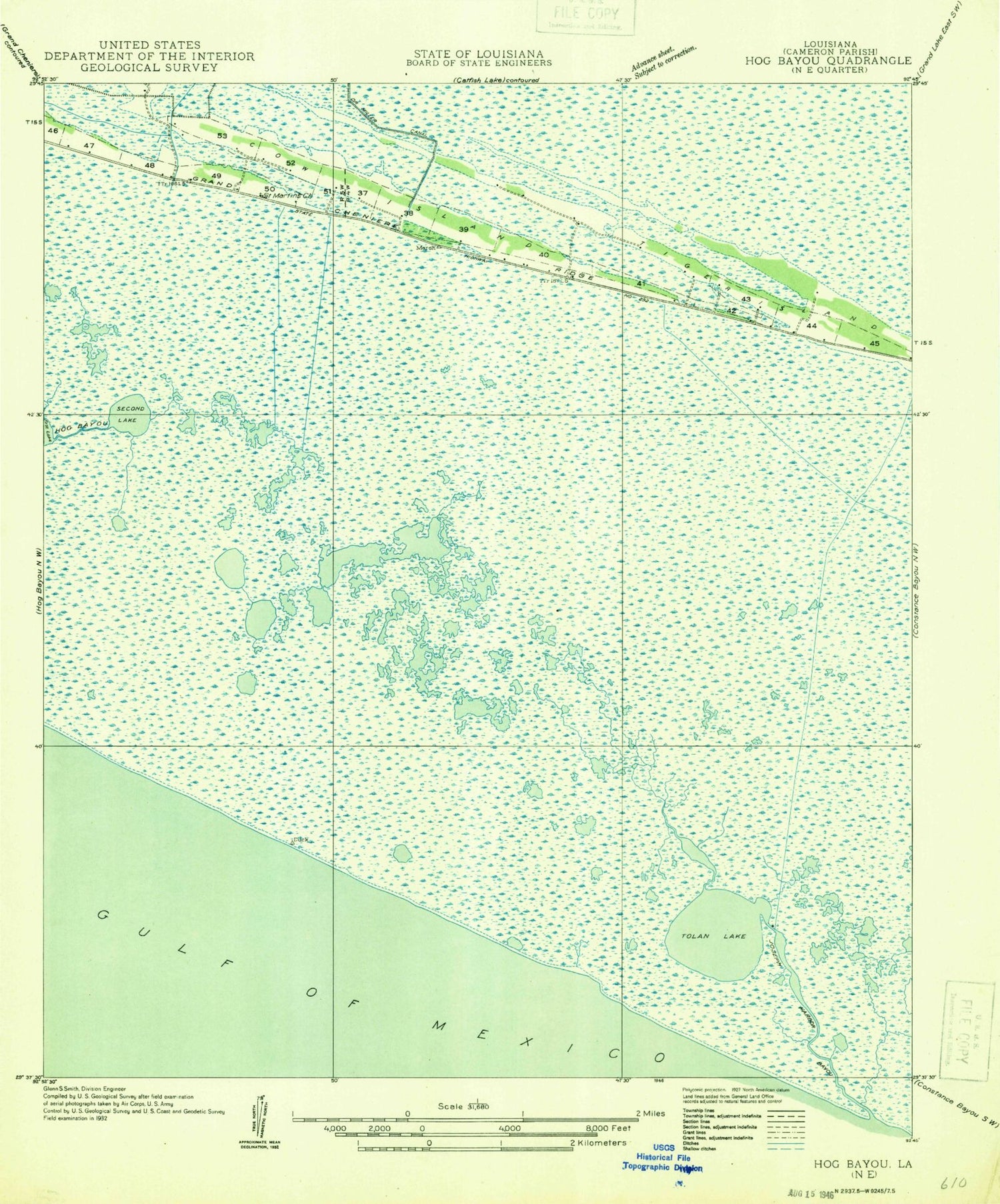
Historical USGS topographic quad map of Cow Island in the state of Louisiana. Map scale may vary for some years, but is generally around 1:24,000. Print size is approximately 24" x 27"
This quadrangle is in the following counties: Cameron.
The map contains contour lines, roads, rivers, towns, and lakes. Printed on high-quality waterproof paper with UV fade-resistant inks, and shipped rolled.
Contains the following named places: Alligator Lake, Circle Cemetery, Claibert Lake, Cow Island, Hackberry Ridge, Headquarters Canal, Joseph Harbor Bayou, Little Pecan Oil and Gas Field, Miller Lake, Nunez Airport, Price Lake, Price Lake Gas Field, Round Lake, Saint Eugene Church, Second Lake, Second Lake Gas Field, Sturlese Lake, Teal Lake, Tiger Island, Tolan Lake