MyTopo
Classic USGS Cow Springs Arizona 7.5'x7.5' Topo Map
Regular price
$16.95
Regular price
Sale price
$16.95
Unit price
per
Couldn't load pickup availability
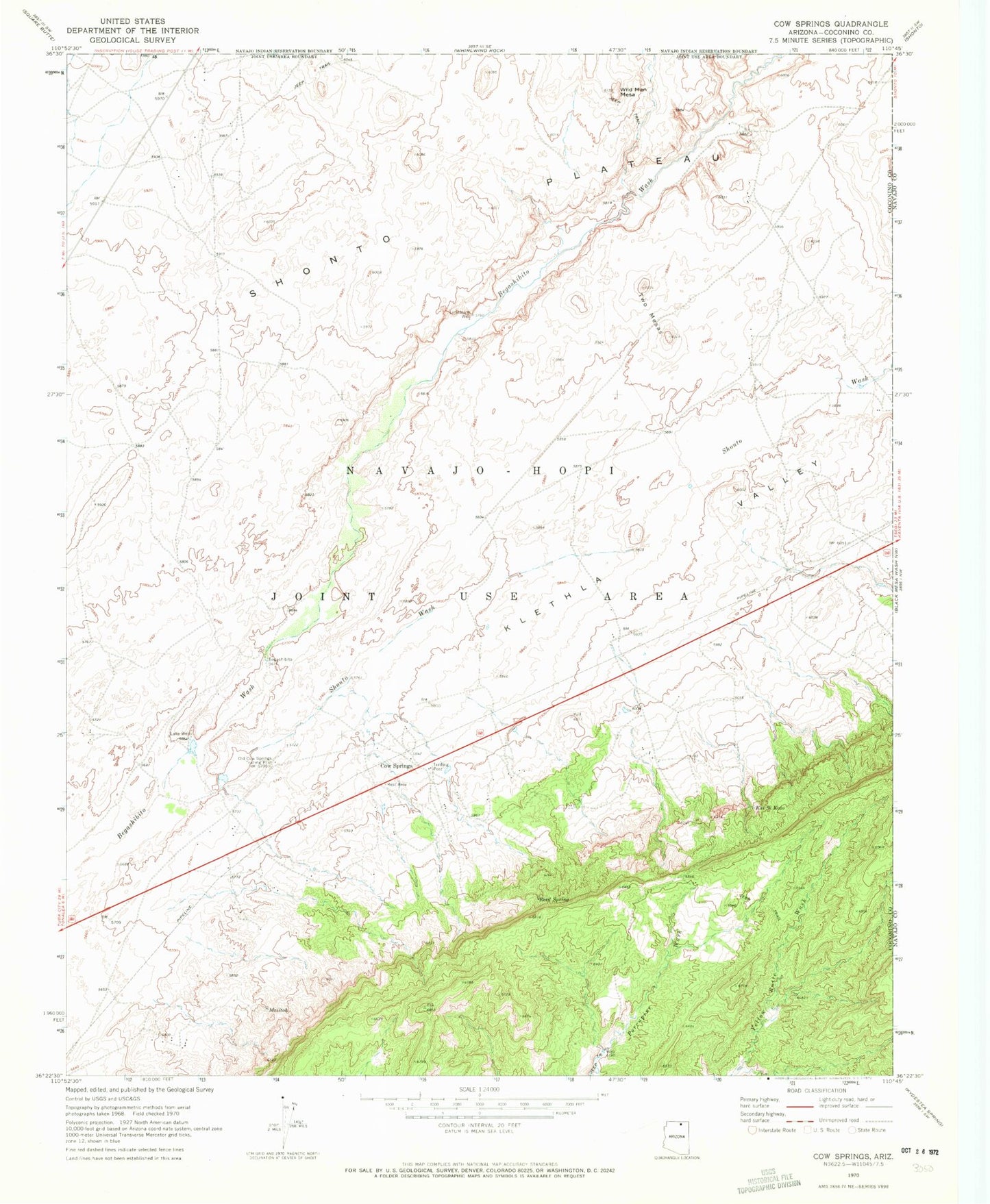
Historical USGS topographic quad map of Cow Springs in the state of Arizona. Map scale may vary for some years, but is generally around 1:24,000. Print size is approximately 24" x 27"
This quadrangle is in the following counties: Coconino, Navajo.
The map contains contour lines, roads, rivers, towns, and lakes. Printed on high-quality waterproof paper with UV fade-resistant inks, and shipped rolled.
Contains the following named places: Cow Springs, Cow Springs Trading Post, Kai Si Kato, Klethla Valley, Lake Well, Maiitoh, Old Cow Springs Trading Post, Reed Spring, Shato Canyon, Shato Stream, Shonto Wash, Two Mesas, Wild Man Mesa