
MyTopo
Classic USGS Cowan Reservoir Montana 7.5'x7.5' Topo Map
Couldn't load pickup availability
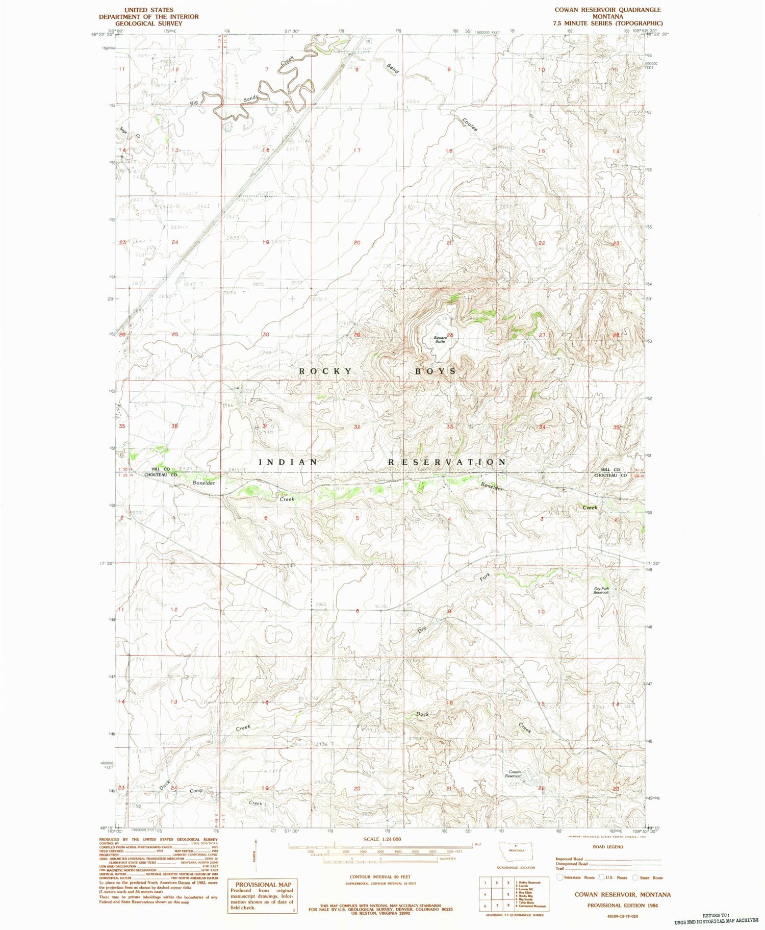
Historical USGS topographic quad map of Cowan Reservoir in the state of Montana. Map scale may vary for some years, but is generally around 1:24,000. Print size is approximately 24" x 27"
This quadrangle is in the following counties: Chouteau, Hill.
The map contains contour lines, roads, rivers, towns, and lakes. Printed on high-quality waterproof paper with UV fade-resistant inks, and shipped rolled.
Contains the following named places: 30N14E08BD__01 Well, 30N14E17BA__01 Well, 59521, Brown Dam, Camp Creek, Cowan Reservoir, Cowan Reservoir Dam, Deucalton Dam, Didache Dam, Dry Fork, Dry Fork Reservoir, Filbert, Peephole Dam, Rocky Boy West Census Designated Place, Sage Creek, Sand Coulee, Square Butte, Tow Dam, Ugly Dam


