MyTopo
Classic USGS Cowcreek Kentucky 7.5'x7.5' Topo Map
Couldn't load pickup availability
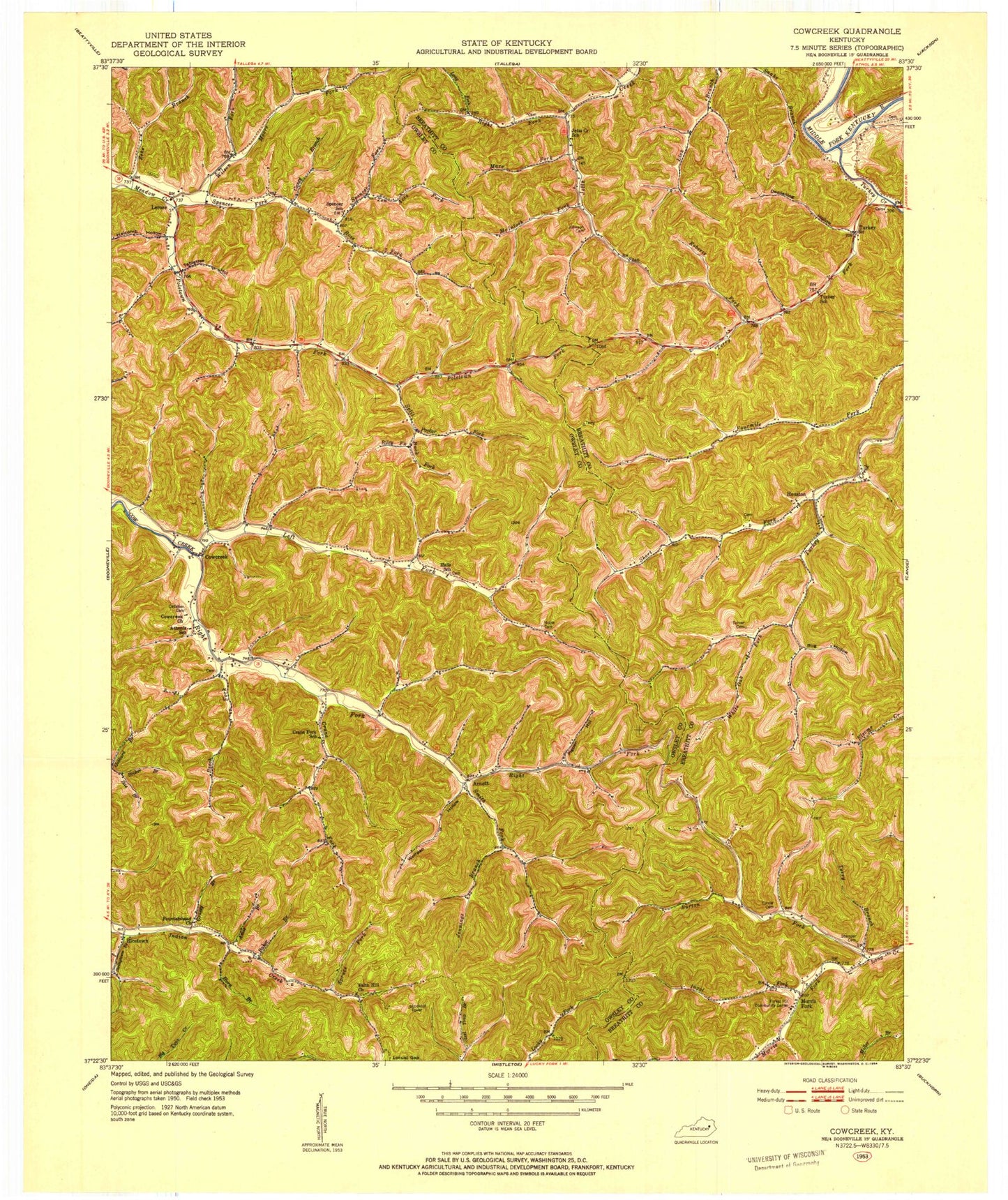
Historical USGS topographic quad map of Cowcreek in the state of Kentucky. Map scale may vary for some years, but is generally around 1:24,000. Print size is approximately 24" x 27"
This quadrangle is in the following counties: Breathitt, Owsley.
The map contains contour lines, roads, rivers, towns, and lakes. Printed on high-quality waterproof paper with UV fade-resistant inks, and shipped rolled.
Contains the following named places: Amis Branch, Arnett, Arnett Post Office, Ash Post Office, Baker Branch, Beech Fork, Broker Branch, Buck Fork, Bug Hollow, Burton Fork, Callahan Cemetery, Cane Fork School, Caney Branch, Cowcreek, Cowcreek Church, Cowcreek Post Office, Crane Fork, Deadening Hollow, Eversole Branch, Faith Hill Church, Forest Hill Community Center, Fountainhead Church, Grassy Branch, Grassy Branch School, Halcomb Hollow, Hall Neighborhood, Hall School, Horn Branch, Houston, Houston Mission School, Ikie Branch, Indian Creek Neighborhood, Indian Creek School, Ingol Fork, Jennings Branch, Johnson Cemetery, Left Fork Cow Creek, Lerose, Lerose Cemetery, Lerose Post Office, Lerose School, Long Fork, Mare Fork, McIntosh Fork, Mine Fork Post Office, Moore Fork, Morris Fork, Noble Cemetery, Pigpen Hollow, Poletown Fork, Rice Knob, Ricetown, Ricetown Post Office, Right Fork Cow Creek, Right Fork Jetts Creek, Riley Fork, Roberts Fork, Rose Fork, Rose Knob, Short Fork, Smith Fork, Spencer Fork, Split Poplar Fork, Spruce Fork, Stamper Cemetery, Stringtown Branch, Tabletree Hollow, Ten Acre Fork, Terry Branch, Terry Fork, Turkey, Turkey Creek, Turner Cemetery, White Oak Fork, Wilson Fork, Wolfpen Hollow, Zeke Branch


