MyTopo
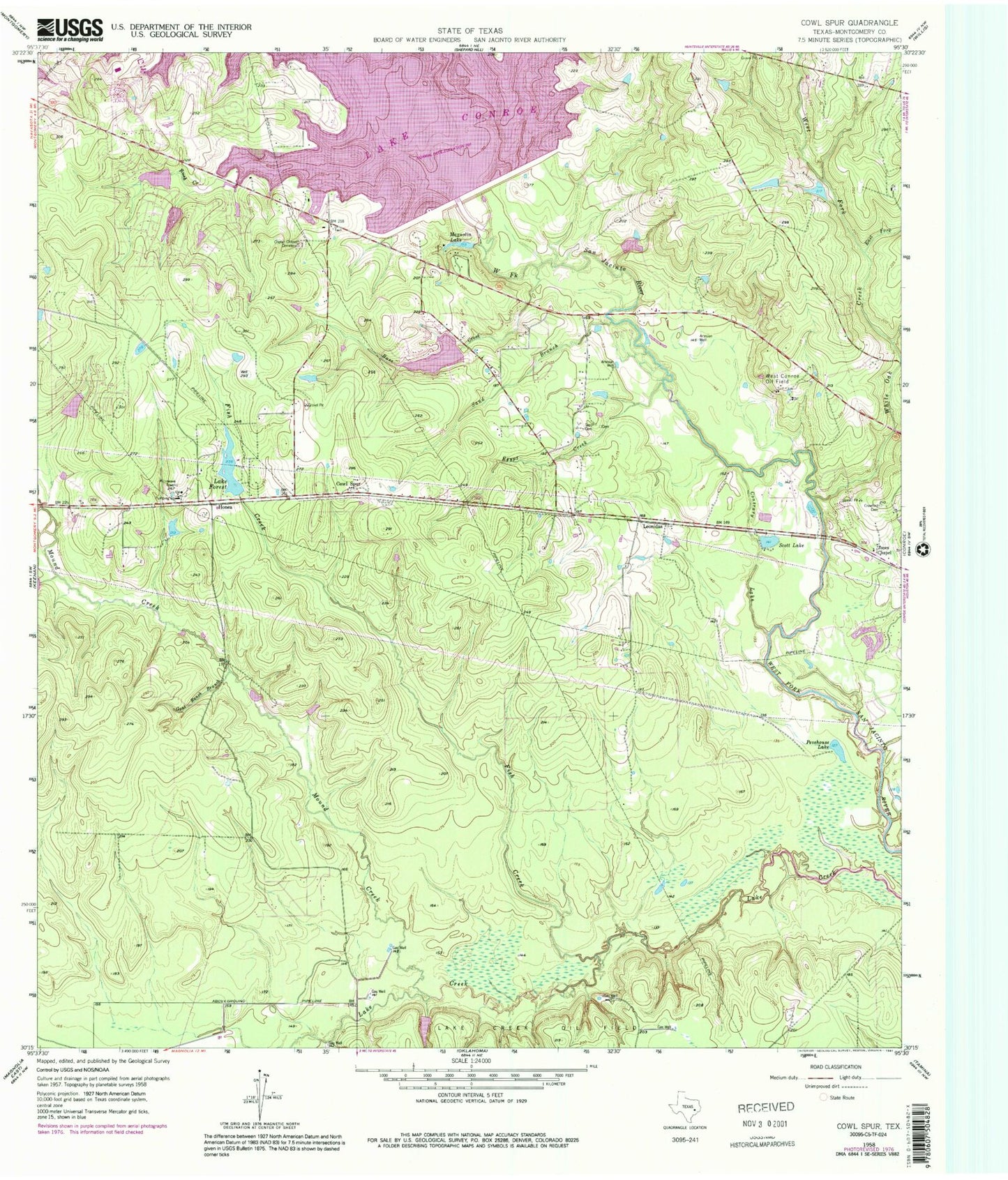
Classic USGS Cowl Spur Texas 7.5'x7.5' Topo Map
Couldn't load pickup availability
Historical USGS topographic quad map of Cowl Spur in the state of Texas. Map scale may vary for some years, but is generally around 1:24,000. Print size is approximately 24" x 27"
This quadrangle is in the following counties: Montgomery.
The map contains contour lines, roads, rivers, towns, and lakes. Printed on high-quality waterproof paper with UV fade-resistant inks, and shipped rolled.
Contains the following named places: Artesian Lake, Artesian Lake Dam, Base Creek, Conroe Dam, Contrary Lake, Coplan Chapel Cemetery, Country Club Lake Dam, Cowl Spur, Crawford Cemetery, East Fork White Oak Creek, Egypt Creek, Fish Creek, Fish Creek Dam, Goat Ranch Branch, Hickory Lake, Hickory Lake Dam, Honea, Jones Chapel, Lake Bonanza, Lake Bonanza Airport, Lake Bonanza Dam, Lake Conroe Fire Department - First Responders, Lake Conroe Fire Department Station 31, Lake Conroe Fire Department Station 32, Lake Conroe Forest Dam, Lake Creek Oil Field, Lake Forest, Lake Forest Falls, Lake Forest Falls Dam, Leonidas, Magnolia Lake, Montgomery County, Mound Creek, Pevehouse Lake, Rush Creek, Rushing Springs Lake, Rushing Springs Lake Dam, Sand Branch, Sapp Cemetery, Scott Lake, Stone Branch Lake, Stone Branch Lake Dam, Stowe Branch, West Conroe Oil Field, West Fork White Oak Creek, White Oak Creek, ZIP Code: 77304