MyTopo
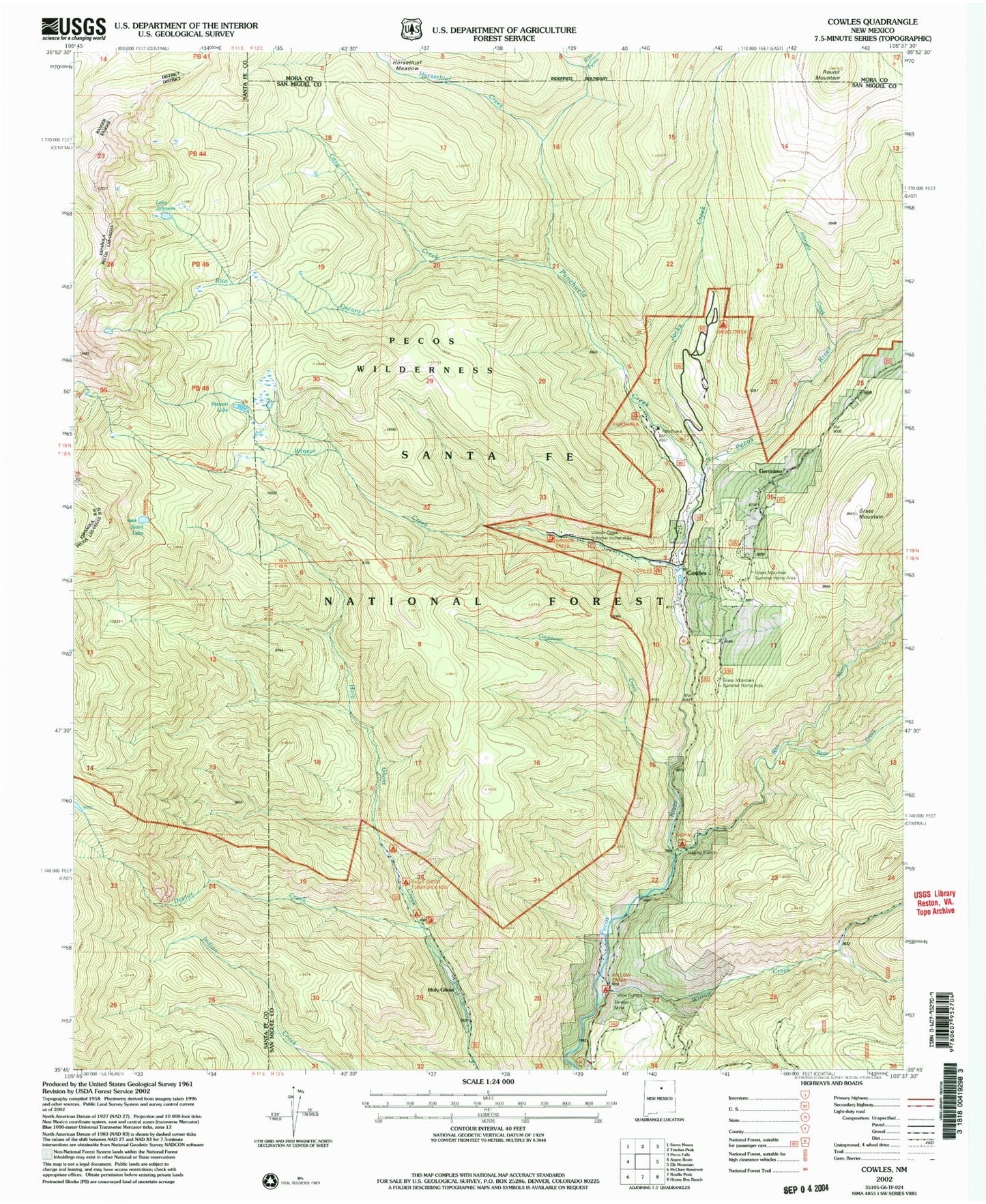
USGS Classic Cowles New Mexico 7.5'x7.5' Topo Map
Couldn't load pickup availability
Historical USGS topographic quad map of Cowles in the state of New Mexico. Scale: 1:24000. Print size: 24" x 27"
This quadrangle is in the following counties: Mora, San Miguel, Santa Fe.
The map contains contour lines, roads, rivers, towns, lakes, and grids including latitude / longitude and UTM / MGRS. Printed on high-quality waterproof paper with UV fade-resistant inks.
Contains the following named places: Albright Creek, Bear Creek, Carpenter Creek, Cave Creek, Cowles, Grass Mountain, Holy Ghost, Jacks Creek, Panchuela Creek, Panchuela Ranger Station, Rio Mora, Rito Oscuro, Rito Perro, Round Mountain, Stewart Lake, Willow Creek, Redondo Peak, Grass Mountain Summer Home Area, Geronimo, Willow Creek Campground, Holy Ghost Campground, Jacks Creek Campground, Panchuela Campground, Winsor Creek Recreation Site, Winsor Creek Summer Home, Cowles Campground, Mora Campground, Horsethief Creek, Lake Johnson, Spirit Lake, Cowles, Pecos Mine, Doctor Creek, Winsor Creek, Pecos Mine Cemetery, Cowles Weather Station, Connells Cabin Historic Site, Tererro Post Office (historical), Cowles Post Office (historical)


