MyTopo
Classic USGS Cowlic Arizona 7.5'x7.5' Topo Map
Regular price
$16.95
Regular price
Sale price
$16.95
Unit price
per
Couldn't load pickup availability
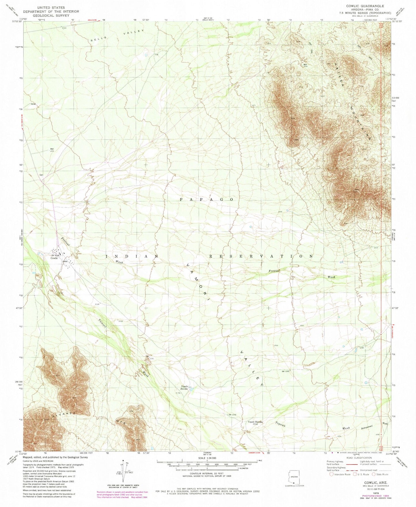
Historical USGS topographic quad map of Cowlic in the state of Arizona. Map scale may vary for some years, but is generally around 1:24,000. Print size is approximately 24" x 27"
This quadrangle is in the following counties: Pima.
The map contains contour lines, roads, rivers, towns, and lakes. Printed on high-quality waterproof paper with UV fade-resistant inks, and shipped rolled.
Contains the following named places: Artesa Mountains, Baboquivari Wash, Cowlic, Cowlic Census Designated Place, Our Lady of Guadalupe Mission, Topawa Wash, Vamori Valley, Vopolo Havoka