MyTopo
Classic USGS Cox Gap Alabama 7.5'x7.5' Topo Map
Couldn't load pickup availability
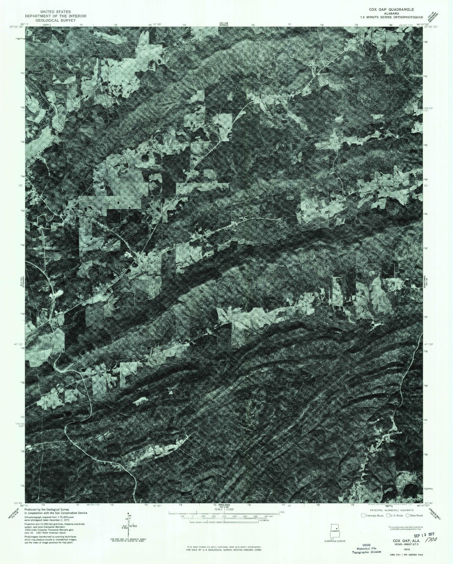
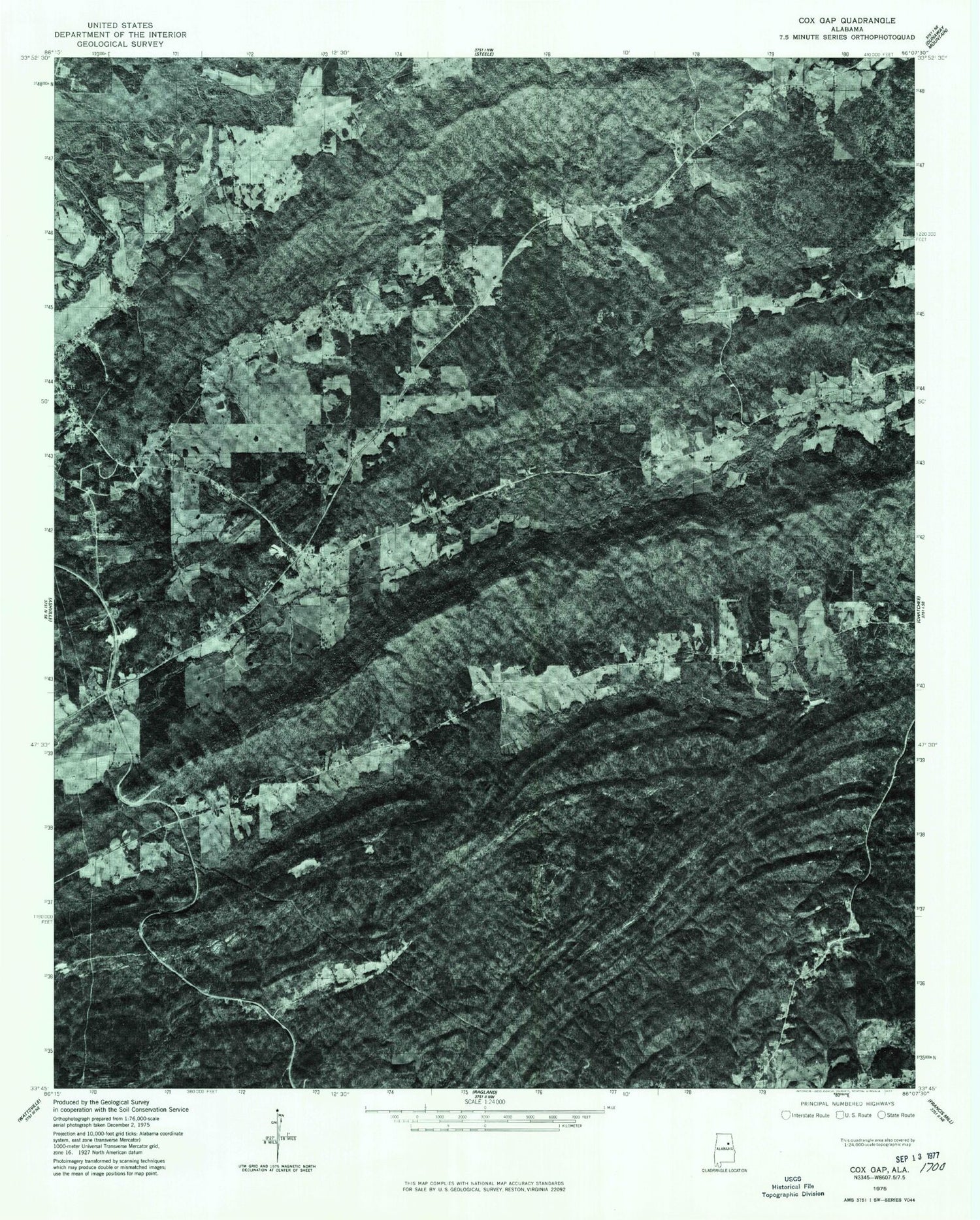
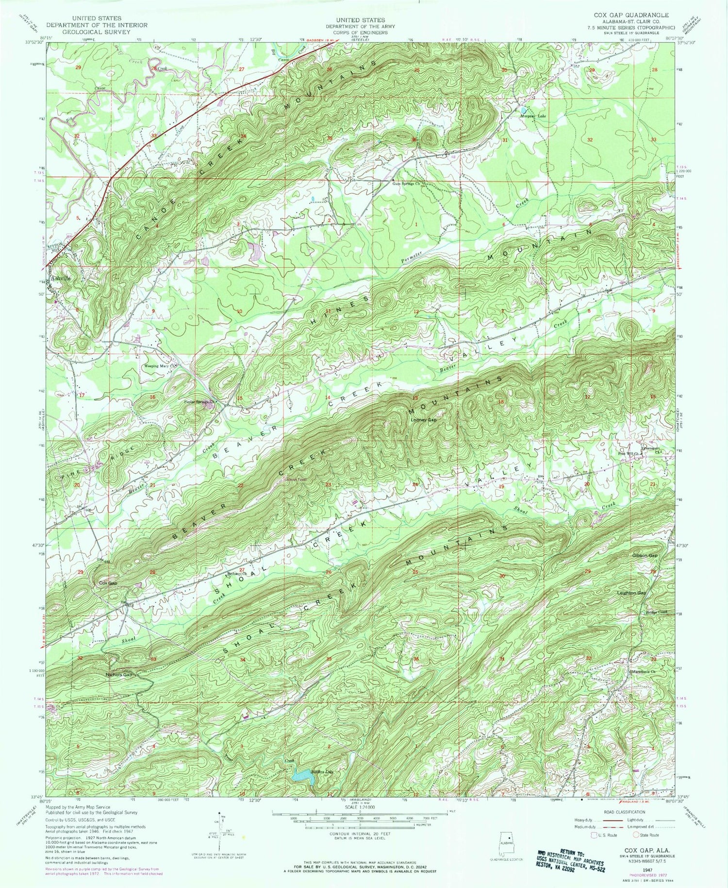
Historical USGS topographic quad map of Cox Gap in the state of Alabama. Map scale may vary for some years, but is generally around 1:24,000. Print size is approximately 24" x 27"
This quadrangle is in the following counties: St. Clair.
The map contains contour lines, roads, rivers, towns, and lakes. Printed on high-quality waterproof paper with UV fade-resistant inks, and shipped rolled.
Contains the following named places: Allula, Backbone Ridge, Baswell Dam, Baswell Lake, Bethany Baptist Church, Bethany Cemetery, Borders Dam, Borders Lake, Bryant School, Canoe Creek Mountains, Cox Gap, Cox Mill, Dobbins Quarry, Dugger's Field, Free Will Church, Gibson Gap, Grace Church, Greensport Baptist Church, Gulf Creek, Gum Springs Church, Hopewell Church, Horseshoe Gap, Jones Mill, Jones School, Laytons Store, Leighton Gap, Looney Gap, Macedonia Cemetery, Macedonia Church, Morgan Lake, Mount Castle School, Musgrove Church, Nichols Gap, Pilgrims Rest Church, Poplar Spring School, Poplar Springs Church, Ragland Division, Rarris Mill, Shoal Creek Mountains, Weeping Mary Church, Whiteoak Creek, Yarbroughs Mill, Zion Hill Church, ZIP Code: 35953