MyTopo
Classic USGS Coxs Ferry Mississippi 7.5'x7.5' Topo Map
Couldn't load pickup availability
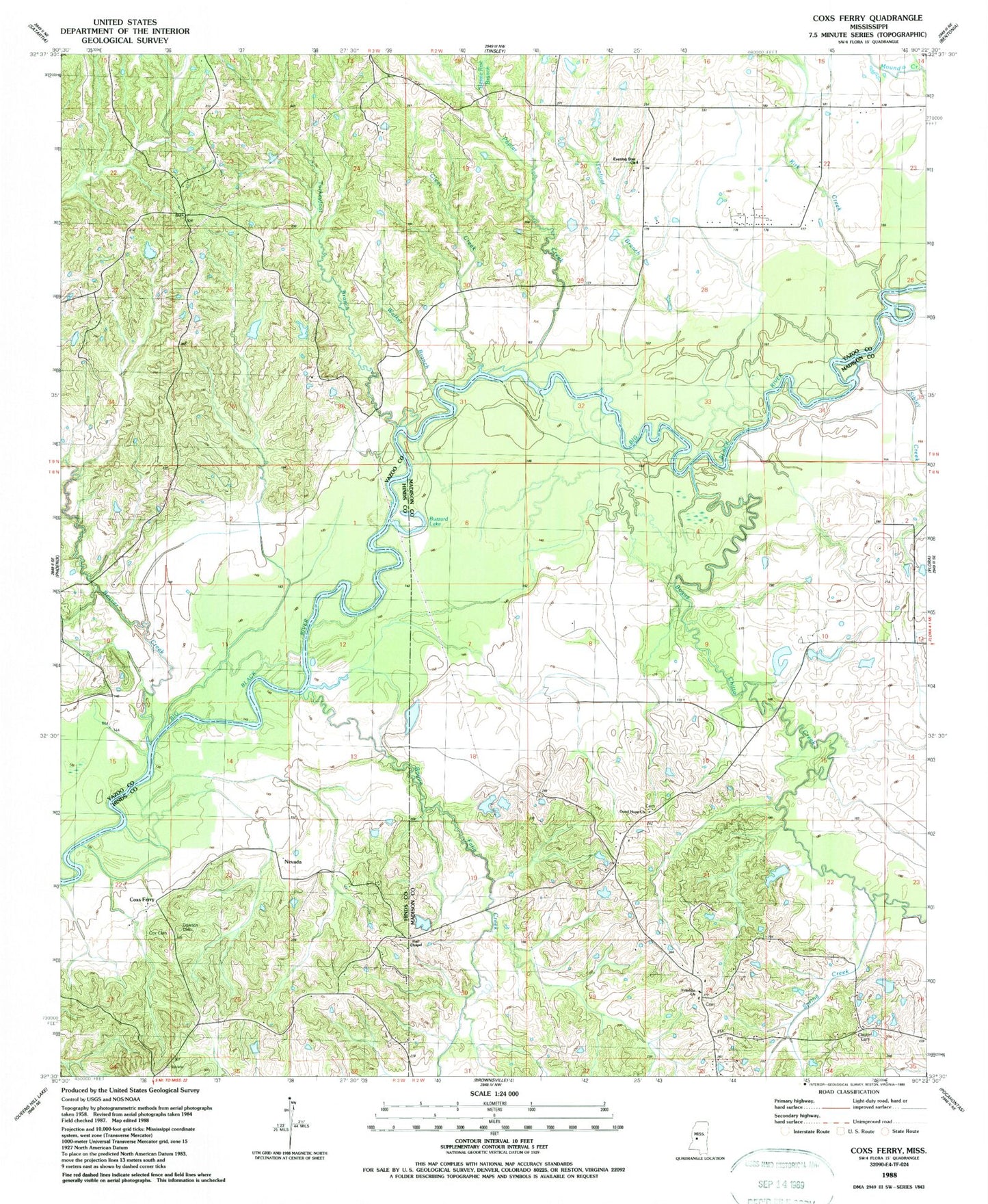
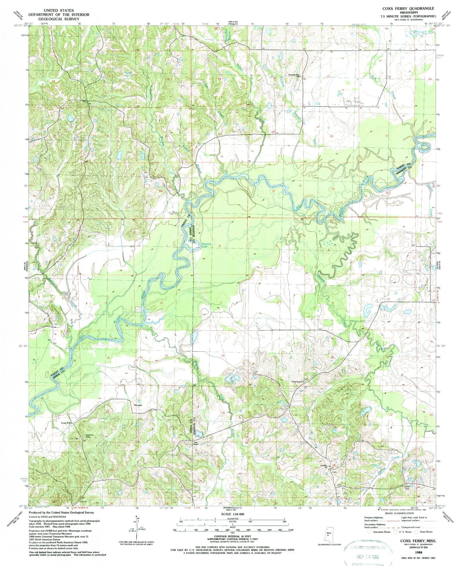
Historical USGS topographic quad map of Coxs Ferry in the state of Mississippi. Map scale may vary for some years, but is generally around 1:24,000. Print size is approximately 24" x 27"
This quadrangle is in the following counties: Hinds, Madison, Yazoo.
The map contains contour lines, roads, rivers, towns, and lakes. Printed on high-quality waterproof paper with UV fade-resistant inks, and shipped rolled.
Contains the following named places: Adelle, Beaver Creek, Bessie Roe Branch, Bethel Cemetery, Bethel Church, Bill Link Pond Dam, Bill Walker Pond Dam, Bogue Chitto Creek, Boque Falia Creek, Buzzard Lake, Clayton Cemetery, Clear Creek, Cox Cemetery, Coxs Ferry, Dawson Cemetery, Evening Star Church, Franklin Church, Freens Chapel, Good Hope Baptist Church Cemetery, Good Hope Missionary Baptist Church, Granbury Cemetery, H Johnson Pond Dam, H S Omahvndro Lake Dam, Hall Chapel, Herbert Lee Lake Dam, Hinter Cemetery, Kirk Creek, Nevada, Poplar Creek, Sibley Creek, Smith Family Cemetery, Smith School, Spring Creek, Tenfoot Branch, Turkeyfoot Branch, Walker Branch


