MyTopo
Classic USGS Coyote Canyon NW New Mexico 7.5'x7.5' Topo Map
Regular price
$16.95
Regular price
Sale price
$16.95
Unit price
per
Couldn't load pickup availability
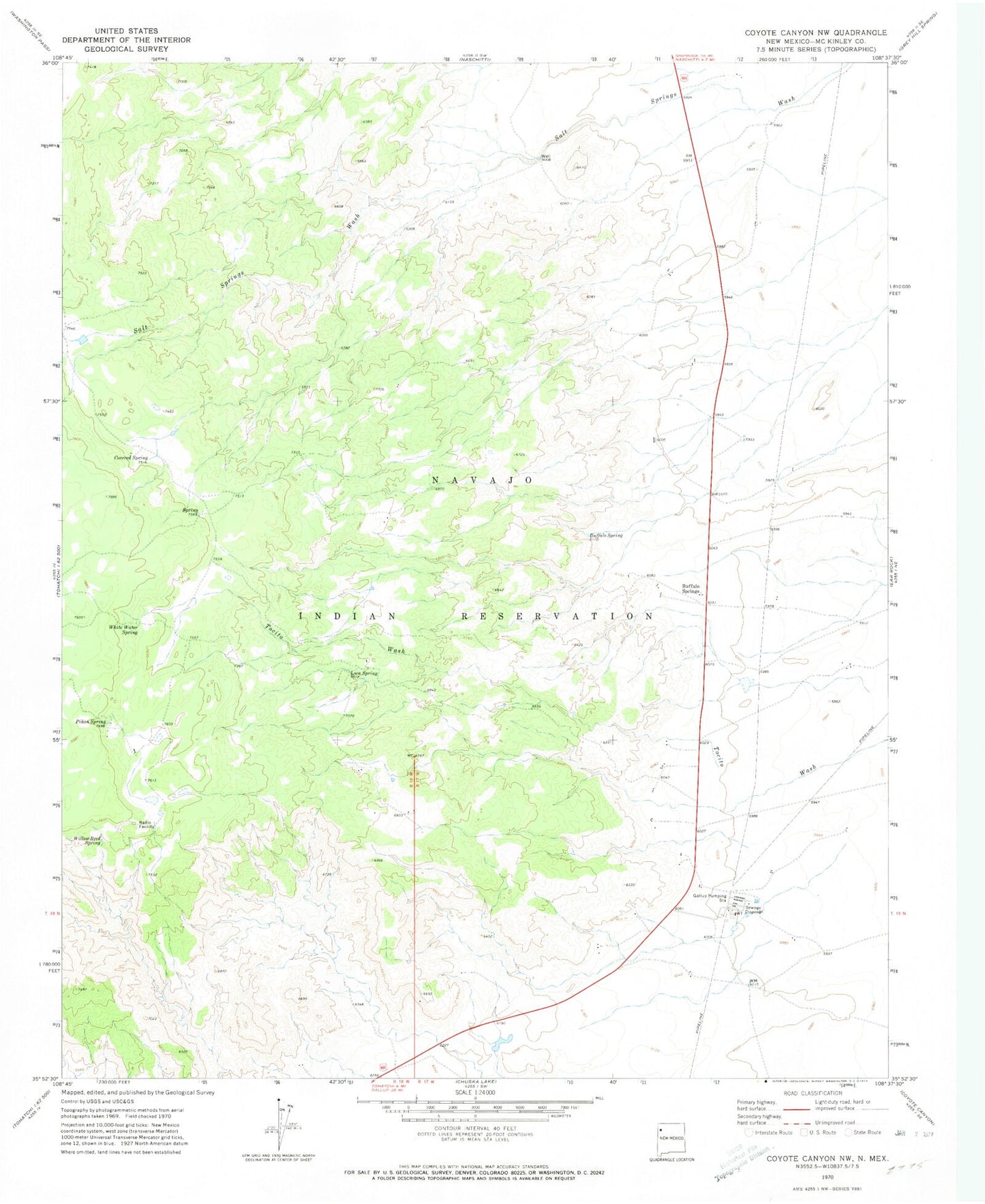
Historical USGS topographic quad map of Coyote Canyon NW in the state of New Mexico. Map scale may vary for some years, but is generally around 1:24,000. Print size is approximately 24" x 27"
This quadrangle is in the following counties: McKinley.
The map contains contour lines, roads, rivers, towns, and lakes. Printed on high-quality waterproof paper with UV fade-resistant inks, and shipped rolled.
Contains the following named places: Buffalo Spring, Buffalo Springs, Covered Spring, Gallup 3 Water Well, Gallup 5 Water Well, Gallup H Water Well, Gallup Pumping Station, Loca Spring, Pinon Spring, Tohatchi Chapter, Trotz Construction Pit, White Water Spring, Willow Reed Spring