MyTopo
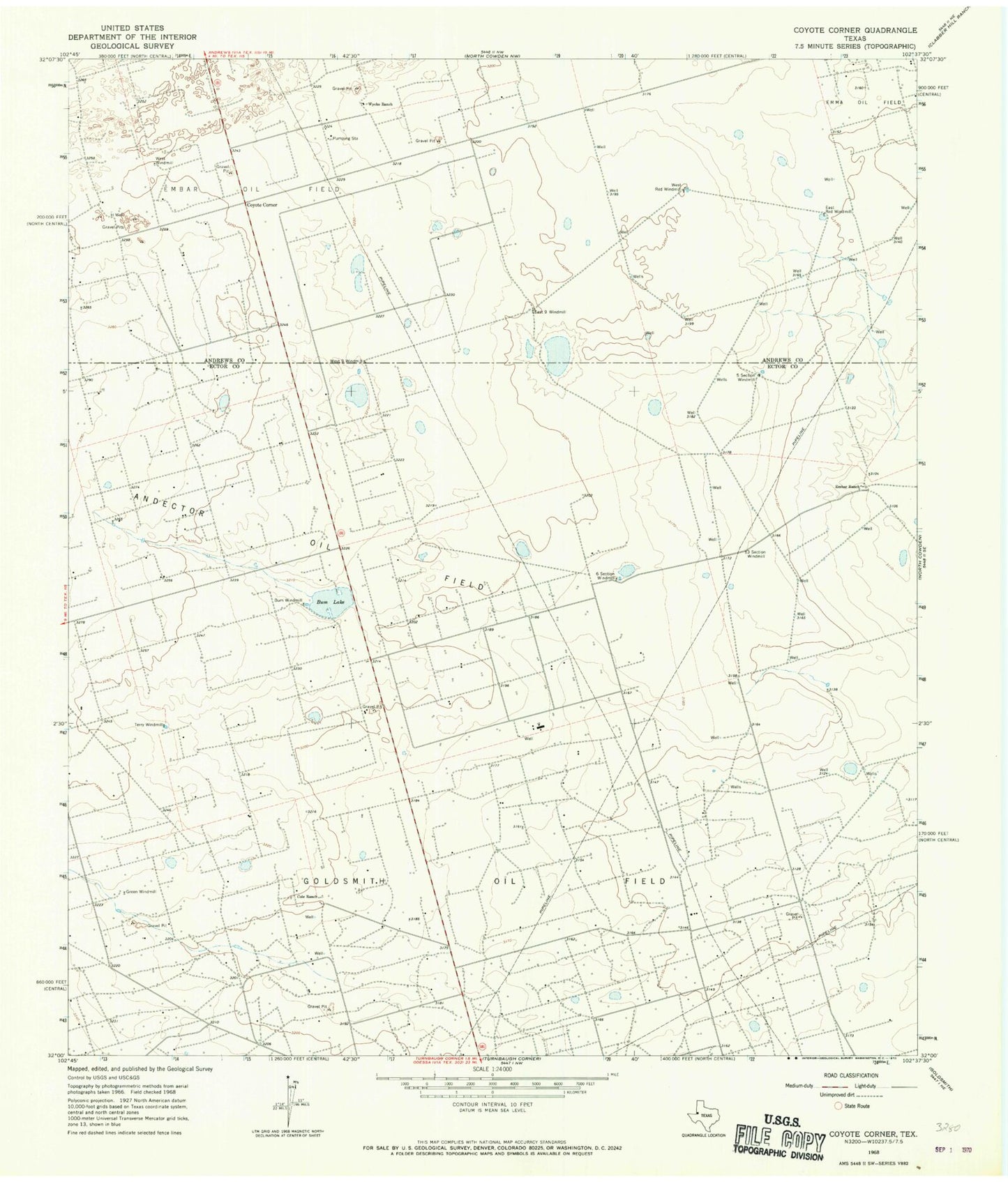
Classic USGS Coyote Corner Texas 7.5'x7.5' Topo Map
Couldn't load pickup availability
Historical USGS topographic quad map of Coyote Corner in the state of Texas. Map scale may vary for some years, but is generally around 1:24,000. Print size is approximately 24" x 27"
This quadrangle is in the following counties: Andrews, Ector.
The map contains contour lines, roads, rivers, towns, and lakes. Printed on high-quality waterproof paper with UV fade-resistant inks, and shipped rolled.
Contains the following named places: Andector Oil Field, Bum Lake, Bum Windmill, Cole Ranch, Coyote Corner, East Nine Windmill, East Red Windmill, Embar Ranch, Five Section Windmill, Green Windmill, H Well, Six Section Windmill, Terry Windmill, Three Section Windmill, West Red Windmill, West Windmill, Wyche Ranch