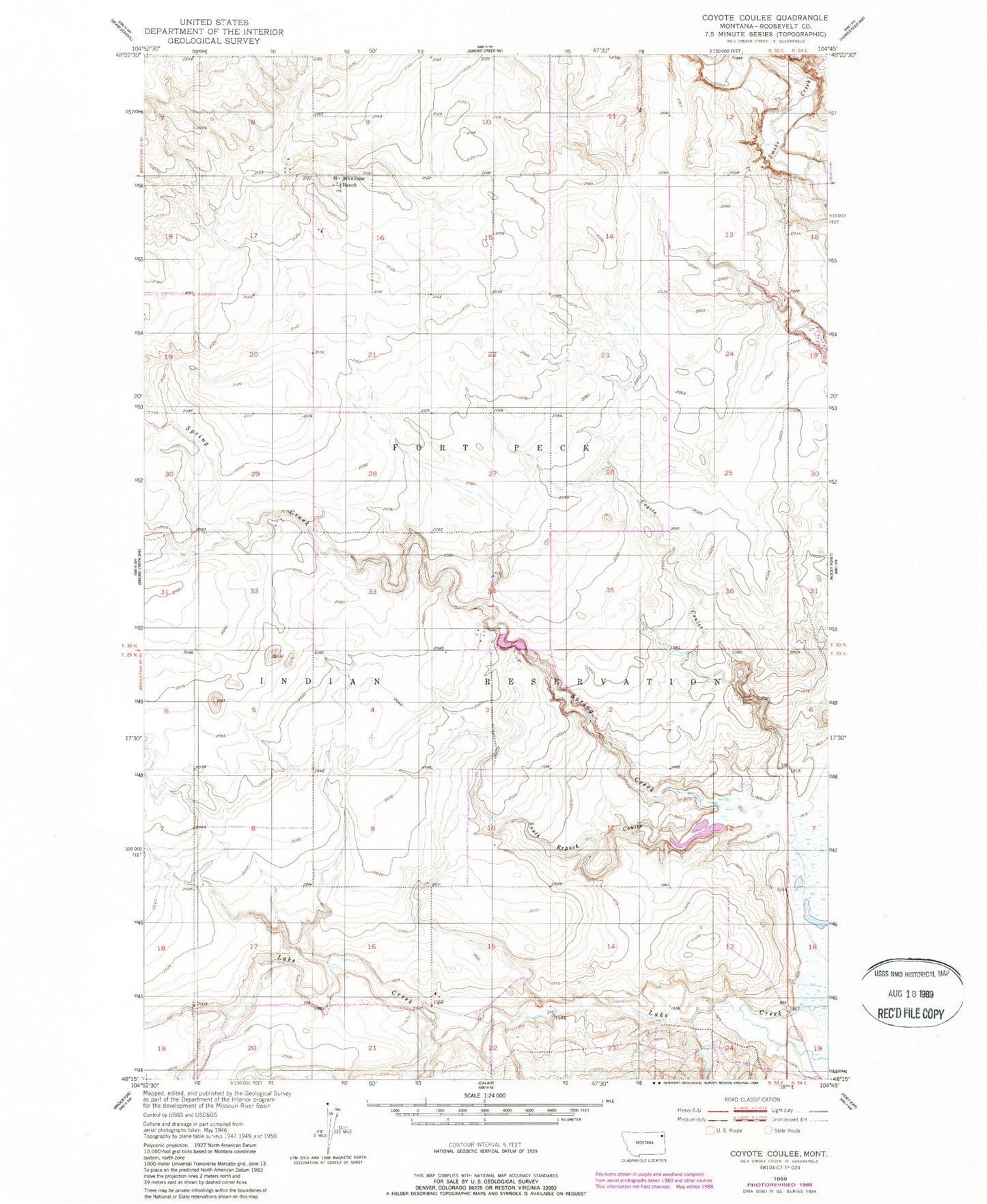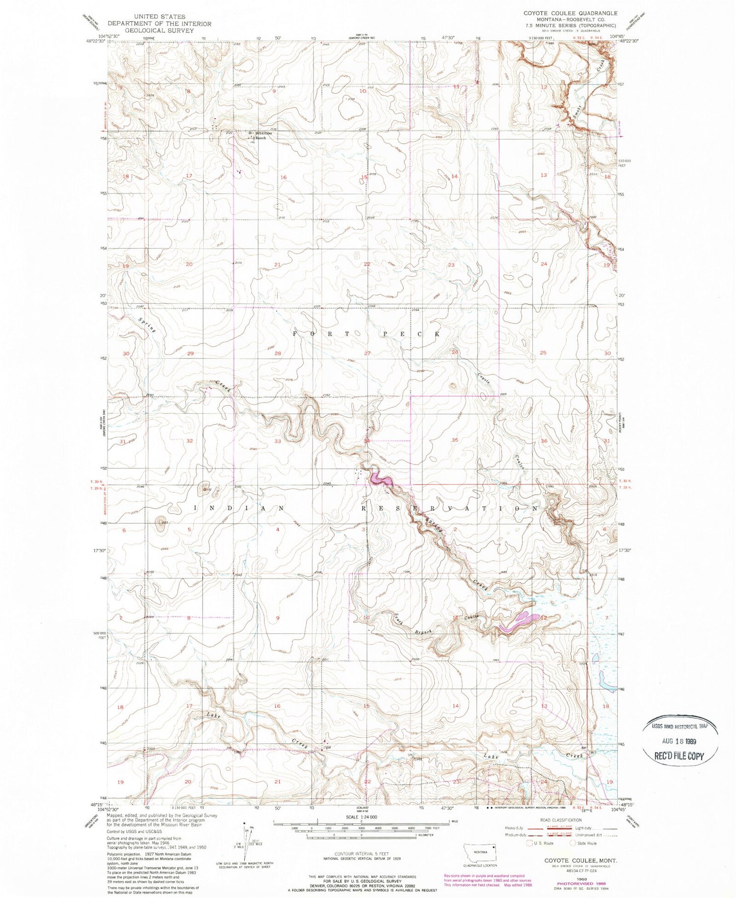
MyTopo
Classic USGS Coyote Coulee Montana 7.5'x7.5' Topo Map
Regular price
$16.95
Regular price
Sale price
$16.95
Unit price
per
Couldn't load pickup availability
Historical USGS topographic quad map of Coyote Coulee in the state of Montana. Map scale may vary for some years, but is generally around 1:24,000. Print size is approximately 24" x 27"
This quadrangle is in the following counties: Roosevelt.
The map contains contour lines, roads, rivers, towns, and lakes. Printed on high-quality waterproof paper with UV fade-resistant inks, and shipped rolled.
Contains the following named places: 30N53E12DCCA01 Well, 30N53E16BBAA01 Well, Boyd School, Coyote Coulee, Fort Peck Reservation Number 23 Dam, Schnitzler Ranch, South Branch Coulee, Spring Creek